Western Washington is underwater tonight. A powerful atmospheric river has parked over the region, dumping days of warm rain and driving rivers to historic heights. We are tracking rapid rises, road washouts, and nonstop rescues. Lives and homes are at risk, and the water is still climbing.
What’s happening now
Moisture streaming in from the Pacific is slamming the Olympics and Cascades with tropical-strength rain. Some gauges in the Olympics show near 7 inches. The central Cascades have seen around 6 inches in 24 hours. Snow levels jumped far uphill, so mountain snowpack is melting into the flood surge.
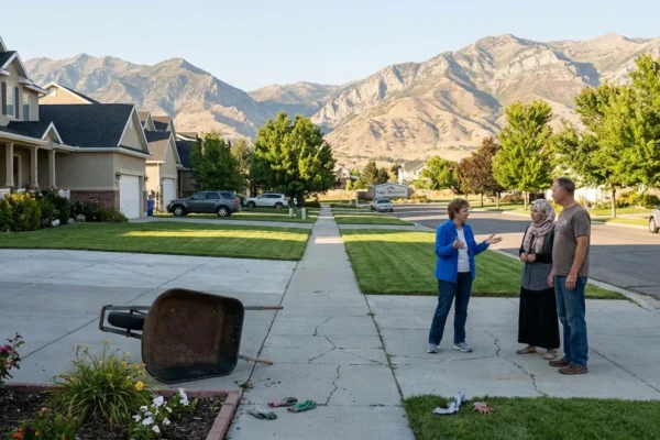
Rivers across the lowlands are roaring. Flood sirens have sounded in multiple valleys. In many towns, water is in streets, basements, and ground floors. Evacuation lines are moving block by block as the waters spread. [IMAGE_1]
Interstate 90 and U.S. 2 have closures because of water, debris, and slides. Crews are cutting power to some flooded areas to prevent fires and shocks. Cell service is spotty in pockets along the floodplains. Our team has watched medics and swift-water crews ferry people and pets to dry ground in inflatable boats.
Do not drive through flooded roads. Just 12 inches of moving water can sweep a car off the road.
Communities in motion
Governor Bob Ferguson has declared a statewide emergency. That opens more funding and frees up assets. The Washington National Guard is deploying high-water trucks and helicopters to at-risk communities. Local responders are stretched thin and still pushing into neighborhoods where water is rising fastest.
We are seeing door-to-door alerts in low-lying zones. Between 75,000 and 100,000 residents have been told to prepare to leave or to go now. Shelters are open from Whatcom County to Pierce County. If you need transport, call local non-emergency lines. If you are in immediate danger, call 911 and get to higher ground.
- Major trouble spots tonight include the Skagit, Snohomish, Snoqualmie, and Puyallup river valleys, along with connected creeks and sloughs.
Keep a go-bag by the door. Pack meds, IDs, chargers, warm layers, water, and pet supplies.
Rivers near or above records
Here is what the gauges and forecasts show. The Skagit River is expected to crest at roughly 47 feet at Concrete and near 41 feet at Mount Vernon. Both levels are above historic marks. Flood barriers in Mount Vernon are being tested and could be overtopped if the crest rises further. The Snoqualmie River is already past past benchmarks near Snoqualmie Falls. Flow there topped 63,000 cubic feet per second late today and could approach 77,500 by morning.
The Snohomish and Puyallup systems are also climbing into major flood stage. Smaller basins can rise even faster. That creates sudden street flooding, sinkholes, and fast currents that catch drivers off guard.
Plan for rapidly changing conditions overnight. If you live near a river bend, confluence, or levee, be ready to move with little notice.
[IMAGE_2]
If officials tell you to evacuate, leave immediately. Turn off gas if you can do so safely, unplug electronics, and lock your home.
Why this storm is so intense
Atmospheric rivers are not new to the Pacific Northwest. This one is different because of heat stored in the ocean and warm air riding in with the flow. Warm air holds more moisture. That means more rain falls in less time. It also raises snow levels, so rain hits snow and speeds melt. The combined runoff quickly fills rivers and pushes them past levees and banks.
Climate science is clear on the direction of risk. As oceans and air warm, the strongest atmospheric rivers get wetter. That stacks the odds for more extreme floods like today. It also means shorter windows to prepare, and larger areas exposed to damage.
What residents need to know right now
Stay off the roads tonight if you are near flood zones. Watch for closed signs, fallen trees, and downed lines. Keep phones charged. If you live on a ground floor, move valuables and chemicals up high. If you have a sump pump, check power and backups.
If you must evacuate, go early. Waiting until water reaches your street is dangerous. Follow official routes, not shortcuts. Never go around barriers. Expect closures and detours on I-90 and U.S. 2 until waters recede and slides are cleared.
Looking ahead, the region will need stronger flood defenses, better maps, and more room for rivers. Buyouts and raised homes in repeat-flood zones will save lives and money. Restoring floodplains, setting back levees, and upgrading culverts can reduce future damage while improving salmon habitat.


