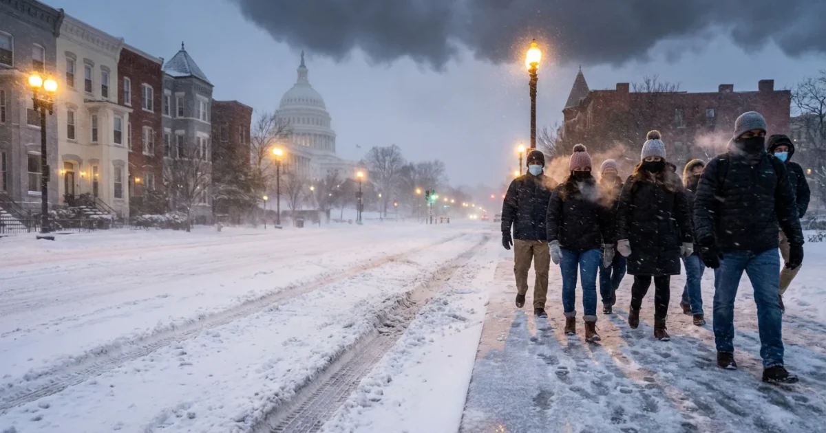
BREAKING: Snow Slams DC, Then Flips to Ice. Dangerous Commute Underway
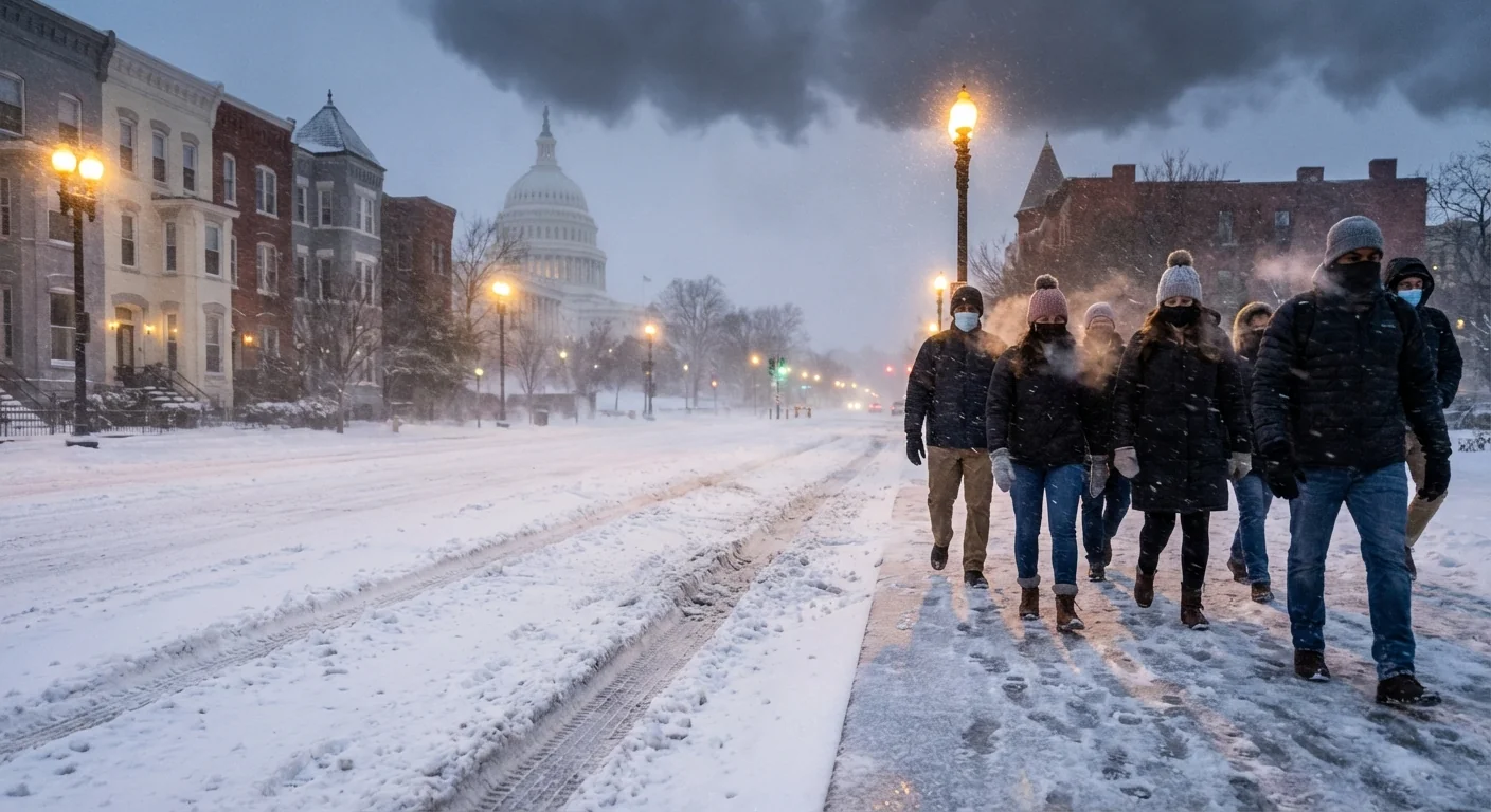
Heavy snow is hammering the DC region this morning. Streets that were wet at dawn are now slick and white. The fast change to sleet and freezing rain has begun in parts of the metro. This is a high impact commute with changing hazards by the hour.
What Is Happening Right Now
I am tracking a sharp snow to ice flip across DC, Maryland, and Virginia. Snow came in hard and fast before sunrise. It stuck to untreated roads within minutes. Plows are out, but rates have outpaced clearing in many neighborhoods.
The transition line is moving north from the I-95 corridor. South and east suburbs are now seeing sleet and pockets of freezing rain. The District is flipping through late morning. Areas north and west are holding snow longer and will switch later.
The danger is changing too. Snow made roads slippery. Ice will add weight to trees and lines, and it will glaze sidewalks. Side streets and bridges will be the first to ice up. Expect scattered flight delays and school schedule disruptions. Plan for longer travel times or a later start if you can.
Icing is arriving faster than crews can treat every route. If you do not need to drive, stay off the roads.
Why The Snow Is Turning To Ice
This storm has a warm layer of air moving in above the surface. Snowflakes fall into that warm layer and partially melt. If they refreeze before hitting the ground, we get sleet. If they do not refreeze until they touch the ground, we get freezing rain.
That thin glaze is what brings down branches. It takes only a small amount of ice to stress trees and power lines. Where sleet dominates, roads get crunchy and rutted. Where freezing rain dominates, everything turns into a silent skating rink.
Temperatures near the ground are hovering around freezing. A one degree shift can change the outcome block by block. Expect very different impacts between downtown DC and places like Frederick, Leesburg, and Westminster.
Timing The Flip, Street By Street
The core of DC, plus close-in suburbs, is in the flip zone through late morning. South and east suburbs, including parts of Prince George’s and Charles Counties, are already there. Northern and western zones, including Loudoun, Montgomery up to the fall line, will turn later midday.
Travel will be toughest during the changeover. Plows lose efficiency when snow becomes slush and pellets. Treatments wash off faster in mixed precipitation. Give crews more space. Keep speeds down and avoid hard braking.
If you must head out, think through your route. Avoid hills, ramps, and untreated residential cut-throughs. Interstates will improve faster than local streets but will still be slick.
Charge phones and backup batteries now. Park away from large limbs. Keep devices off the floor in case of meltwater.
Power, Trees, And The Climate Signal
The risk today is shifting from slippery roads to power outages. Ice adds weight in layers. A glaze on limbs, then a bit of wind, and weak branches give way. Lines snap when stressed by trees, not just by ice alone. Report outages quickly and keep flashlights handy.
This kind of storm fits a clear climate pattern for our region. Winters are warming, especially aloft. That favors mixed precipitation over pure snow. Warmer air also holds more moisture, which boosts storm intensity. We get heavier bursts and more flip events like today. That is why planning for both snow and ice now matters more every year.
Sustainability choices help too. Shovel early to reduce salt use. Use sand or calcium magnesium acetate where possible. Keep salt away from storm drains and streams. It protects local rivers and the Bay as ice melts.
What To Watch Next
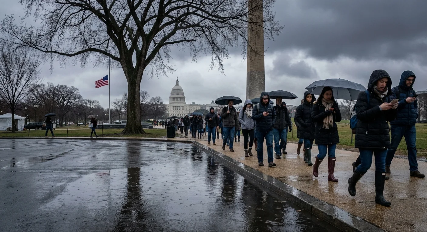
Precipitation will taper late day, first south and east, last north and west. A refreeze is possible tonight if skies clear even briefly. That could turn slush into black ice by dawn Thursday. Crews will need time to scrape and re-treat.
Stay plugged into official alerts from your locality. Track transit, highways, airports, and utilities for service updates. If you can telework, today is the day to do it. If you need to head out, leave extra time and tell someone your route.
- Metro, MARC, VRE, and local bus services
- State DOTs for road conditions in DC, Maryland, and Virginia
- Reagan National, Dulles, and BWI for flight changes
- Your utility for outage maps and restoration times
If a power line falls, keep far back. Call 911 and your utility. Never try to move a line.
Conclusion
The storm is evolving by the minute. Snow gave us a fast hit, and now ice is taking over. The commute is dangerous, and the risks are shifting. I will keep watching the transition, the outage threat, and the evening refreeze. Stay patient, stay informed, and stay safe. ❄️⚠️


