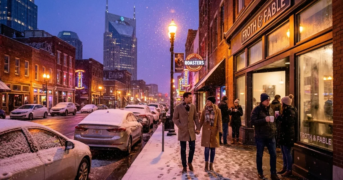
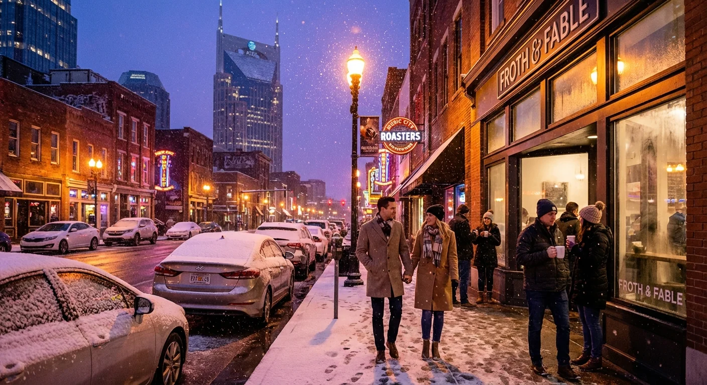
BREAKING: Arctic front targets Nashville, snow or ice threat rises this weekend
What is happening now
Cold Arctic air is racing into Middle Tennessee. Nashville sits in the clash zone, where northern cold meets southern moisture. That is a classic setup for winter trouble. Temperatures will fall fast as the front passes. Many of us will feel a 25 to 35 degree drop within hours. Light rain will flip to a mix, then to snow or sleet in spots. The sharp change is the headline.
My analysis shows the first wave arrives with the front, then a second wave of moisture may ride in behind it. That second wave is just as important. It could keep wintry precipitation going as the cold deepens. Timing and amounts still depend on the exact storm track, and how quickly the surface chills below freezing. The window to watch is late weekend into early next week. Travel impacts could begin soon after sunset on the day the front passes, when road temps lag and bridges lose heat quickly.
Timing and what to expect
This is a tight race between cold air and the heaviest moisture. A two to four hour shift changes the outcome. Nashville sits near the dividing line.
If the snow setup wins
If subfreezing air arrives first, snow becomes more likely. The best chance would come as the back edge of the front slides through. That can lay down a quick, powdery burst. Roads could turn slick in a hurry, especially on bridges and overpasses. Visibility may drop during any snow bands, even if totals are modest.
If the ice setup wins
If a shallow cold layer hugs the ground while air aloft stays warm, expect sleet or freezing rain. Sleet taps on windshields and reduces traction. Freezing rain is more dangerous. It coats roads, trees, and lines with glaze. Even a thin glaze can cause spinouts, scattered outages, and falling limbs. Side streets, untreated ramps, and hilltops will be first to go slick.
Hazards to plan for: black ice after sunset, sudden lane changes in precipitation, wind chills near or below zero, and scattered power interruptions. Flights may face delays as deicing ramps up. 🧊
Why this cold snap matters
No matter the final mix, a deep and prolonged cold snap is likely behind the front. Wind chills in the single digits are possible in the city, lower in outlying areas. That kind of cold stresses the grid and the body. Protect pets, check on neighbors, and limit time outdoors.
This pattern fits a larger climate story. The Arctic is warming faster than the global average. That reduces the temperature contrast up north, which can make the jet stream more wavy at times. A wavier jet can help dislodge cold pools into the South. At the same time, a warmer background climate adds moisture to the air. That means when cold air and Gulf moisture meet, winter storms can be sharper, even as winters overall trend milder. We are living that contrast this weekend.
How to prepare, smart and sustainable
Act now, before roads turn and before wind chills bite. Preparation does not need to be dramatic. It needs to be focused.
- Winterize your car, top off washer fluid, and keep the tank at least half full
- Wrap outdoor spigots, open cabinets to warm indoor pipes, and drip faucets overnight
- Charge phones and battery packs, and gather flashlights and extra blankets
- Lower energy strain at peak hours with small moves, close doors, use LED bulbs, and set the thermostat a few degrees lower if safe
- Check on elderly neighbors and bring pets inside
Quick win, run a towel along exterior doors and windows to spot drafts. Seal with weatherstrip or towels tonight, save energy and hold heat through the coldest hours. ♻️
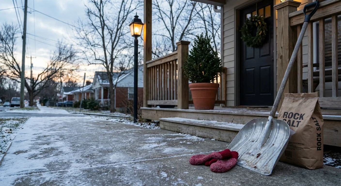
Avoid risky fixes. Never run a generator indoors. Keep heaters clear of curtains and furniture. Salt or sand your steps before the freeze, not after.
Even after skies clear, refreeze will create black ice each morning. Sunshine does not guarantee safe bridges. Slow down and leave extra space.
What to watch next
I am tracking surface temperatures, road sensor data, and the position of the warm layer above the city. That data will refine the snow versus ice split. Expect a tighter forecast window 24 to 36 hours before the main wave. Watches or advisories may be issued as confidence rises. If a corridor of freezing rain sets up, it will likely shift within 50 miles, so small updates matter.
Air travelers should plan for longer security lines and deicing holds. Drivers should plan for rapid changes by neighborhood. Hills and shaded roads will go first. Metro crews will target interstates and major routes, but side roads will lag.
Conclusion, Nashville faces a clear cold punch and a serious winter threat. The details, snow or ice, hinge on a few hours of timing. Prepare today, travel with care, and keep an eye on updates. The cold is certain. Our readiness can turn a tough weekend into a manageable one.


