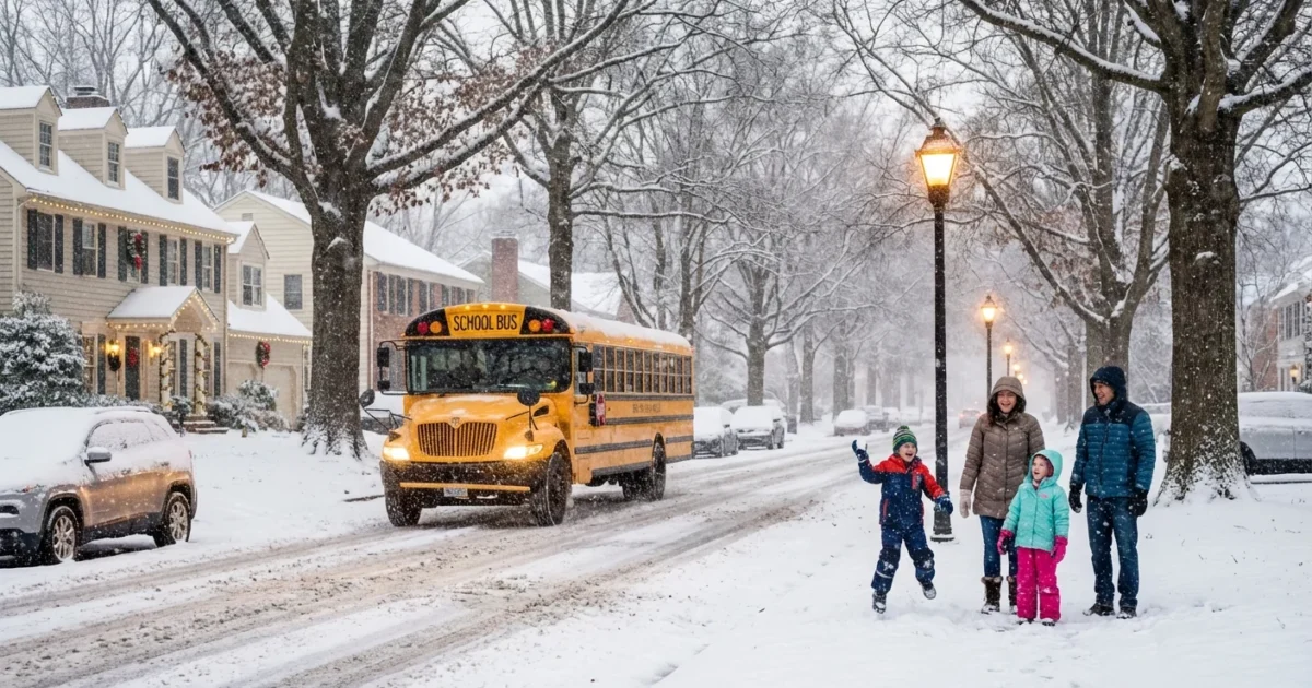
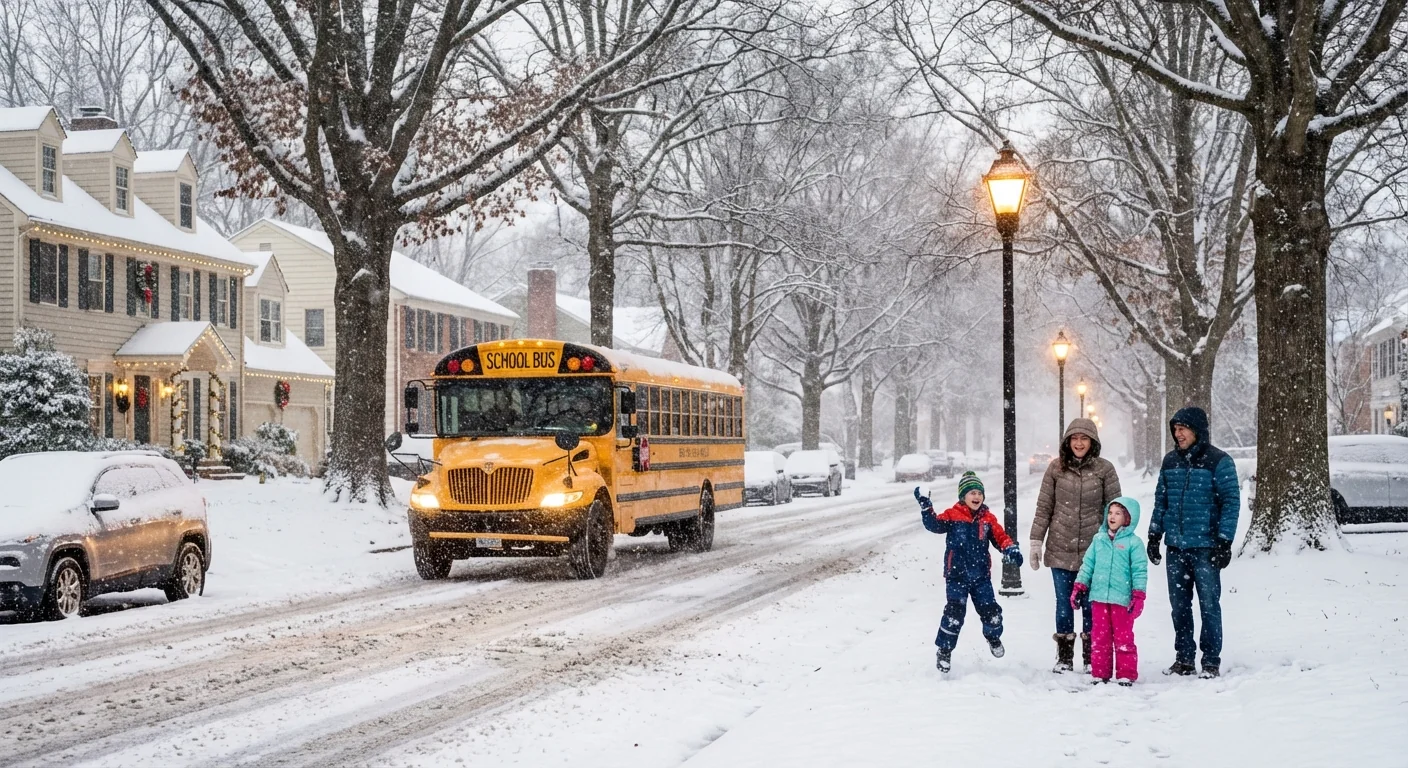
BREAKING: How many inches of snow are we getting tonight? Here are the numbers
Snow is spreading from the Midwest to the Northeast and Mid Atlantic right now. I am tracking two fast moving waves that will lay down a fresh blanket tonight into early Sunday. Totals will vary a lot over short distances, but the signal is clear. Expect plowable snow in several corridors and slick roads by daybreak.
Who gets how much, and when
In central and northern Illinois, my latest forecast holds at 2 to 4 inches for many towns. The air is colder, so the flakes are fluffier. That boosts totals with less water. Following earlier snow, drifts and wind chills near minus 20 degrees are a risk by Sunday morning.
New York City is set for its first measurable snow of the season. I expect 1 to 3 inches in the five boroughs. Parts of the metro, including Long Island and central New Jersey, could reach 4 to near 5 inches where a coastal band sets up. The first flakes arrive around late evening and taper near dawn.
Southern Connecticut is under a winter weather advisory. Coastal counties line up for 2 to 4 inches. Inland areas look lighter at 1 to 2 inches. The snow comes in steady bursts, then fades before midday Sunday.
In the Mid Atlantic, from central Maryland to the northern Delmarva and into metro Philadelphia, snow will arrive before midnight. Rates may spike near 1 inch per hour inside narrow bands. That can push totals to 4 inches or a bit more in a few spots. Short commutes can still turn tricky when snow falls that fast.
Travel will worsen quickly under the heaviest bands. Visibility will drop, and untreated roads will ice up. Plan for extra time and slower speeds tonight and early Sunday. ❄️
Why totals jump around so much
Snow bands act like fire hoses, but they are slim and wobbly. A small shift of 20 miles can move the jackpot. Near the coast, temperatures hover close to freezing. A slightly warmer marine layer can flip a neighborhood from powder to slush, cutting totals. Inland Illinois sits in colder air, which grows lighter, fluffier flakes that stack up faster.
This system is also moisture rich. Warmer Atlantic waters and a mild fall have kept extra moisture in the air. When a cold pocket arrives and lifts that moisture, snow can pop quickly. That is why bursts of 1 inch per hour are on the table, even with a quick moving storm.
What to do before the first flakes
You can cut risk and waste with a few smart moves that also help local streams and air quality.
- Finish key trips before late evening, especially in city cores and along I 95 and I 80.
- Shovel early and often. Clear storm drains so slush does not pond and refreeze.
- Use salt sparingly. Try sand or calcium magnesium acetate. Rock salt harms pets and waterways.
- Bring pets inside, and drip indoor faucets overnight if your home is prone to freezes.
- Charge phones, check flashlights, and keep fuel levels healthy in case of delays.

Pre treat with a light brine if you must, then shovel down to pavement. Save salt for stubborn ice. Your trees and streams will thank you. 🌱
The climate angle, and what comes next
Snow in a warming climate often arrives during short shots of cold air that tap into moist air masses. The oceans are warmer, so storms can wring out more precipitation. When surface temperatures sit near freezing, more of that falls as heavy, wet snow along the coast, while farther inland it stays powdery. That mix is what we are seeing tonight.
Salt and sand use will spike with the first snow of the season in big cities. This is the moment to choose smarter practices. Less salt means less chloride in rivers come spring. It also protects roadside soils and keeps corrosion in check for transit systems.
I will keep updating as the bands pivot. If the coastal low tugs a little closer, metro snow totals could tick upward. If it slips east, the heavier axis will also shift. Keep an eye on local National Weather Service advisories through the evening.
Strong finish
Here is the bottom line. Illinois is on track for 2 to 4 inches. New York City lands near 1 to 3 inches, with higher amounts just outside the city. Southern Connecticut sits in the 1 to 4 inch range, highest along the coast. The Mid Atlantic can see up to 4 inches, with a few higher spots in intense bands. I am watching the pivots and the coastal front closely. Stay tuned, stay safe, and take it slow.


