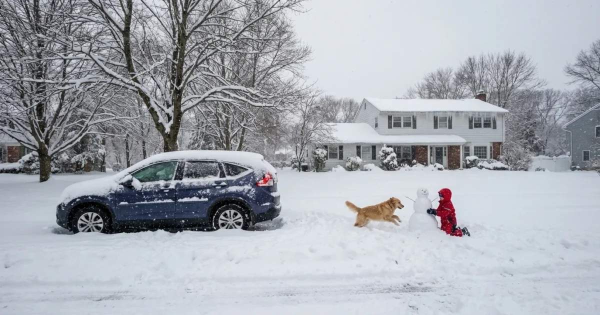
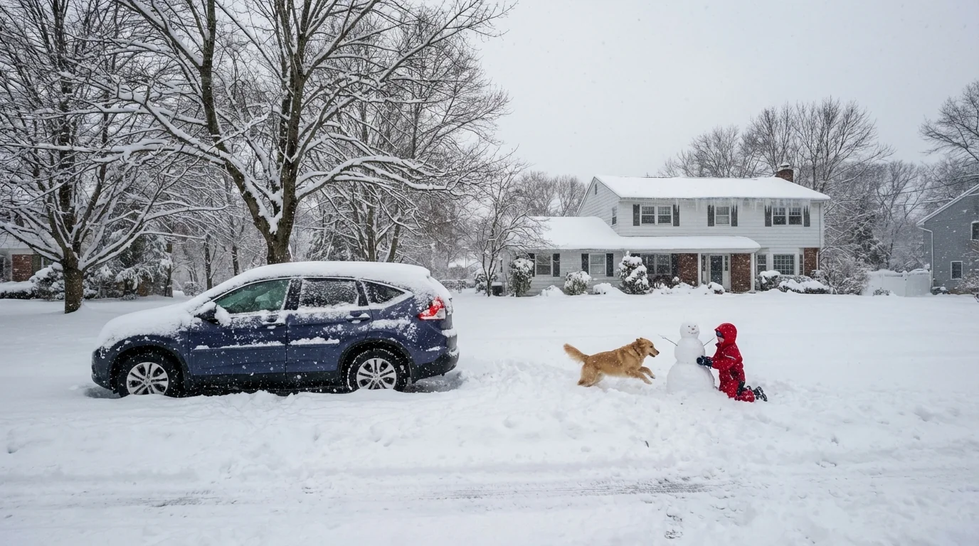
Snow sealed the tri-state overnight, and the map tells a sharp story. A compact, fast-moving storm painted heavier swaths north and west, while marine air trimmed totals near the coast. We tracked the bands as they pivoted across the region, and the gradient was striking. Ten miles often made the difference between shovel and snowblower.
Snowfall totals by corridor
Within New York City, the coast stayed lean. Lower Manhattan and parts of south Brooklyn saw 2 to 4 inches after mixing with drizzle at times. Farther inland, interior Queens, the Bronx, and the higher spots of northern Manhattan stacked up 4 to 7 inches under steadier bands that held their cold.
Across northeast New Jersey, elevation and distance from the ocean won the day. Bergen and Passaic County hills measured 6 to 10 inches, with isolated higher drifts on ridge lines where the wind piled it up. Essex and Morris slipped into that same mid to upper single digit range. Closer to the shore, Monmouth and coastal Ocean mixed more and landed 1 to 3 inches. Middlesex trended 3 to 6.
North and northwest of the city, the Lower Hudson Valley cashed in under the heart of the snow shield. Rockland and Westchester commonly saw 8 to 12 inches, with the highest totals on the inland hills. Putnam matched that range where banding sat longest.
Connecticut split along the Sound. Coastal Fairfield took 3 to 6 inches with some sleet. Inland Fairfield and New Haven Counties climbed to 6 to 10 inches, and the hills nudged higher where rates peaked.
These ranges match the setup we flagged before the first flakes. Ocean air kept the lowest few thousand feet mild near the shoreline, so flakes compacted or partially melted. Farther inland, colder air held firm, and those bands delivered intense, fluffy bursts. Some neighborhoods watched totals jump an inch an hour, then shut off like a switch a town away.
Why the map looks patchy
Two drivers set the spread. First, the storm hugged the coast. That path tugged milder marine air into the city’s south and east side. It also focused a narrow axis of lift from northwest New Jersey into the Hudson Valley and interior Connecticut. Second, elevation matters on a marginal day. A few hundred feet of rise cooled the column just enough to keep snow efficient. That is why ridge tops in Bergen and Westchester popped higher numbers.
The city’s heat island also plays a role during lighter rates. Urban surfaces stay a bit warmer, so early flakes melt on contact. Once the bands intensified, cooling overcame that effect, but totals near the core still lagged the fringes.
The Monday plan, roads to rails
Temperatures dip back to the 20s before dawn. What melted today will refreeze by sunrise. Side streets will be slick. Drain grates are buried. There will be black ice in crosswalks and at bus stops. Give plows room and let salt crews work before the rush.
Watch for refreeze on untreated pavement, falling roof ice near building edges, and hard snow berms at intersections. Slow down and look twice.
Expect scattered flight delays as crews deice. Trains and buses are running, but snow-clogged platforms and curb lanes may slow boarding. If you can, shift earlier or later by 30 minutes to spread the load and lower your risk.
- Leave 10 extra minutes for the commute
- Clear all car windows and lights, not just the windshield
- Step wide at curb cuts, slush hides ice
- Keep hydrants and storm drains shoveled for safety
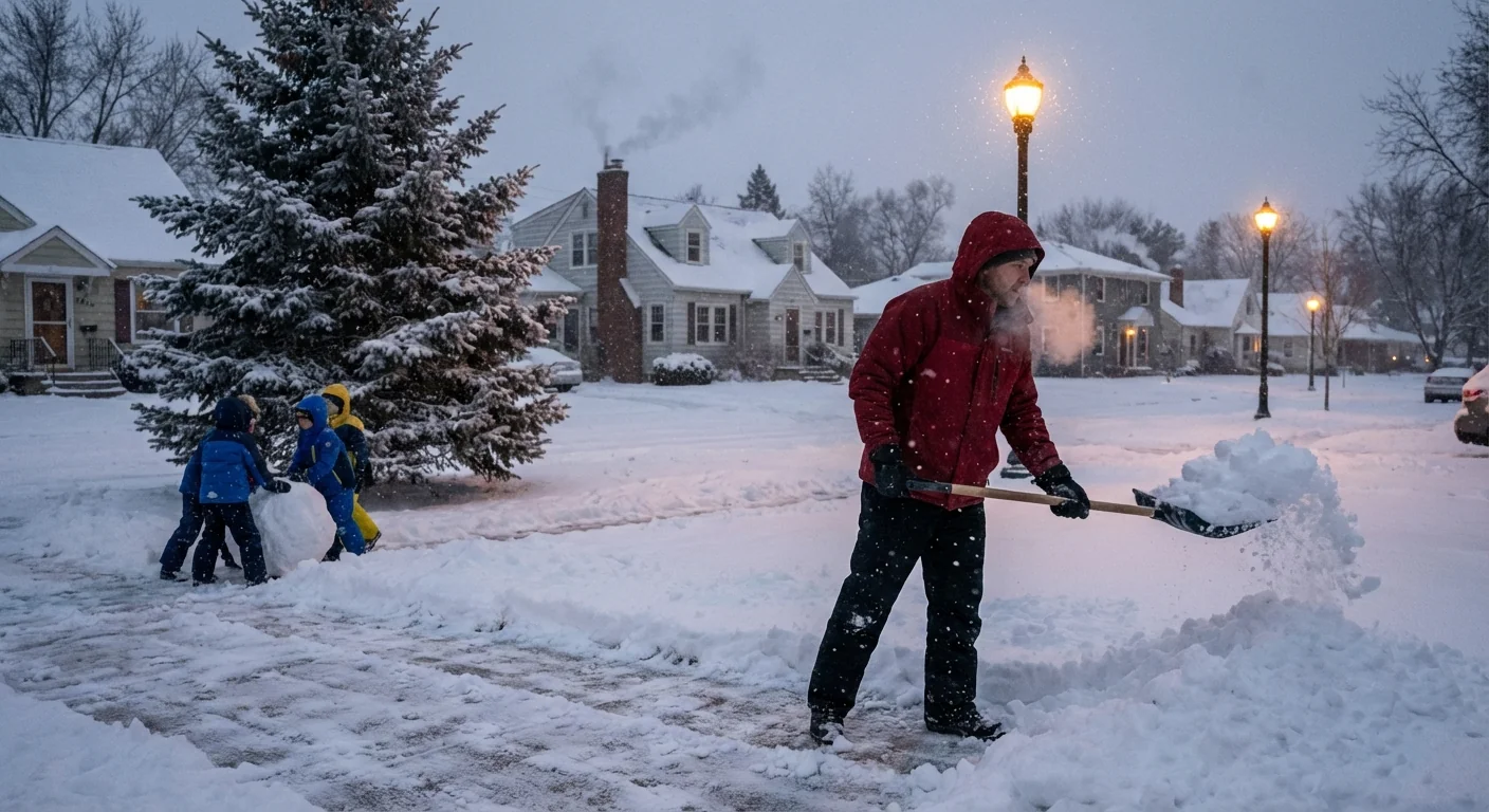
Shovel early, then again after the plow pass. A lighter second round prevents ice sheets tomorrow night.
What this storm says about our winters
Winters here are warming. That does not end snow. It changes how and where it falls. A warmer ocean feeds storms with more moisture. That can sharpen gradients, like we just saw, and boost short bursts of heavy snow. The season is shorter on average, but single storms can still be big. The mix line near the coast is creeping north, which means the city will ride that rain and snow edge more often.
Sustainability is part of every cleanup now. Road salt keeps us safe, but too much harms streams and soils. Use only what you need. Brine or treated salt works better and uses less. Pile snow on lawns or tree pits, not in the street. Clear catch basins so meltwater drains, and keep fire hydrants exposed for crews. These small steps add up across millions of shovels.
We will watch for a quick clipper midweek that could dust over fresh ice. For now, totals are locked, the cold is back, and the focus is safety. Take it slow this morning. Respect the plows, look out for your neighbors, and keep the drains and hydrants clear. Winter showed its sharp edges last night. Let’s round them off the right way today.


