Breaking: A powerful atmospheric river is slamming western Washington today, Thursday, December 11, 2025. Our desk confirms historic rain, fast rising rivers, and dangerous landslides across multiple counties. KING 5 is leading the region with live road and transit updates. For anyone traveling, every minute now matters.
What is happening now
Rainfall totals are pushing rivers to record levels. Soils are soaked, and slopes are failing. Skagit County officials have warned about 75,000 residents to be ready to evacuate. In Auburn, floodwaters have already caused heavy damage in neighborhoods and business districts.
Governor Bob Ferguson has declared a statewide emergency. He has also asked for an expedited federal emergency declaration. That move prepares the state to pull in extra resources fast. The goal is clear, protect people, stabilize travel, and keep lifelines open.
Expect more slides as the storm continues. Even when the rain eases, the ground will stay unstable. That means hazards will linger into the next few days.
Travel impacts and closures
Eastbound I-90 is closed near North Bend after debris flows trapped multiple vehicles. Crews are cutting channels and clearing rock, but more runoff is possible. In low-lying areas across Skagit and south King counties, water is over roads and into front yards. Detours are uneven and may change without notice.
Storm drains are overwhelmed in dense neighborhoods. Hydroplaning is a major risk on arterials and ramps. Shoulders are too soft to support disabled vehicles. Avoid stopping on or below saturated hillsides.
- Key travel impacts right now: I-90 closure near North Bend, urban street flooding, unstable highway shoulders, fast-changing detours near river crossings
Sea-Tac operations remain active, but delays are likely during peak squalls. Strong rain bands slow ground movement and reduce visibility. Leave early, and check your flight status before you leave your door. Cargo and mail deliveries may also run late.
Turn around, do not drive into water. A foot of moving water can sweep a car. Landslide danger remains even after the rain stops.
Destination insights for today
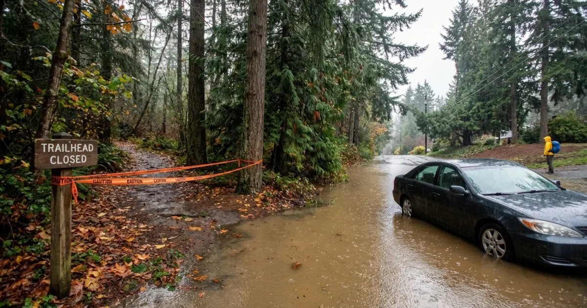
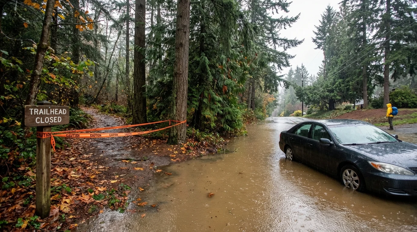
Travel plans to river towns in the Skagit Valley should pause. Farm roads and rural connectors flood first, and they are hard to navigate in the dark. Riverfront inns and campgrounds are at risk of isolation due to high water.
In the Green River and White River valleys, including Auburn and Pacific, side streets are washing out and parking lots are ponding. Do not leave your car in a low spot overnight. In the Cascade foothills near Snoqualmie and North Bend, expect trailhead closures and forest road washouts. Hiking and waterfall trips can wait. Coastal getaways on Whidbey and the Kitsap Peninsula may see tree falls and spotty power. Stick to main highways and confirm your lodging has backup heat.
[IMAGE_2]
How KING 5 is guiding travelers
KING 5 is pushing real-time road closures and weather alerts across TV, mobile, and web. The live crawl is listing route blocks, river stages, and evacuation zones. Reporters are confirming detours and showing passable options, block by block. Helicopter views and DOT cameras are giving drivers the picture they need to reroute fast.
Morning and evening commute windows will get special attention. Expect repeated updates for I-5 choke points, the valley floor grid, and the I-90 corridor. This is the feed to watch if you must be on the road.
What to do next
If travel is not essential, delay it. If you must go, choose daylight hours and paved, high ground routes. Refuel before you enter flood-prone areas. Keep your phone charged and your wipers fresh. Watch for water lines and mud on the pavement. Those are signs of slides above you.
Pack a simple storm kit for the car. Include water, snacks, warm layers, a phone charger, a flashlight, basic first aid, and a paper map.
A statewide emergency is active. Follow evacuation orders from local officials. If you are told to leave, go early.
Conclusion
This storm is a travel test for western Washington. Rivers are high, hillsides are moving, and roads are changing by the hour. With a statewide emergency in place, the smart move is to delay nonessential trips. If you must travel, plan like a pro and use KING 5’s live updates to guide every turn. We will keep reporting until the waters fall and the roads are safe. Stay alert, stay patient, and stay safe.