BREAKING: Wrightwood soaks and slogs through a Christmas atmospheric river
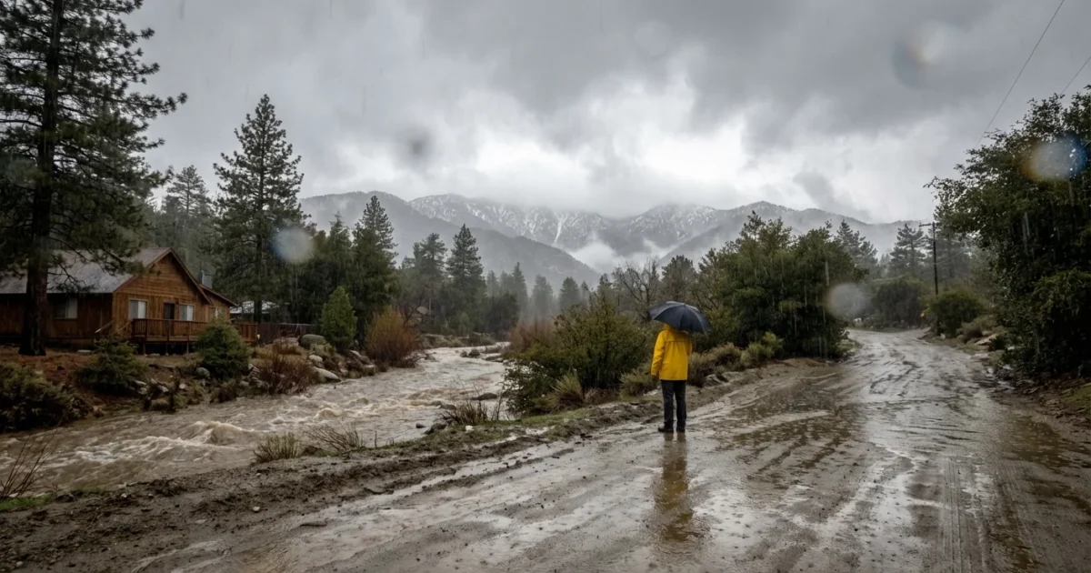
I am tracking intense Pacific moisture slamming the San Gabriel Mountains today. Wrightwood is taking the brunt with heavy bursts of rain at town level and wet, dense snow building above the ridgelines. This is a classic atmospheric river, warm and loaded, feeding bands that train over the same slopes. It is pounding creeks, filling culverts, and pushing roads to the edge.

Storm snapshot
Here is what is hitting Wrightwood right now. Low clouds, gusty south winds, and waves of heavy precipitation. Snow levels have swung near town at times, then climbed with each warm surge. That means rain on older snow in places, which weakens the pack and boosts runoff. The steep canyons above Highway 2 are shedding water fast. In short, the town sits under a firehose.
This setup is no surprise in a warmer Pacific. The air holds more water, so each plume wrings out more rain. The mountains wring out even more as air is forced upslope. When the core of the river passes, colder air will drop snow levels again. Expect a change back to snow showers late as the tail end slides through.
Travel is hazardous. Debris flows are possible on and below recent burn scars, including slopes near the 2022 Sheep Fire. Do not enter flooded crossings.
Impacts on roads and power
Plan for closures and delays. Chain controls are likely on Highway 2 near Big Pines and across the high passes. Highway 138 can see flooding at low spots and ice on shaded curves. Lone Pine Canyon Road often closes when rocks and mud start coming down. Crews will pace their plows with the heaviest bands, which may leave stretches unserved for hours.
Gusty winds and soaked soils raise the chance of falling limbs. Southern California Edison customers in and around Wrightwood should be ready for outages. Restoration can take time when access is limited by snow or slides. If you rely on medical devices, now is the time to switch to backup plans or relocate to a safe, powered location.
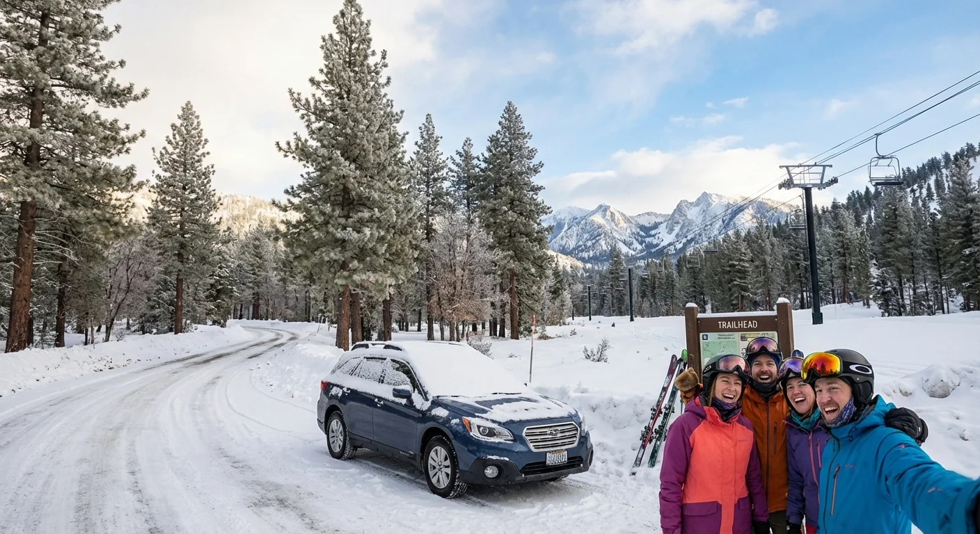
Ski lifts do not run in strong winds. Mountain High may cycle terrain, delay openings, or close early for safety. Forest roads and trailheads can shut with little notice. Keep cars off soft shoulders. Tow trucks will be busy, or unable to reach you at all.
What residents and visitors should do
You need reliable, real-time information. Cell service can dip, so download updates before you head out. These channels are essential in the Wrightwood area:
- Caltrans QuickMap and 511 for Highway 2 and 138 conditions
- San Bernardino County Sheriff and Fire alerts
- Southern California Edison outage map and text alerts
- Mountain High and Angeles National Forest status updates
If you must travel, use this order of steps:
- Check chain controls and closures for all legs, including return.
- Top off fuel, charge your phone, and pack warm, waterproof layers.
- Carry chains that fit, a shovel, sand or kitty litter, water, and snacks.
- Tell someone your route and schedule, then stick to it.
Build a 48 hour kit. Include medications, batteries, headlamps, first aid, a battery bank, and a paper map. Keep it in your car during storm weeks.
The science and what comes next
Atmospheric rivers are not new. What is new is their punch. Warmer oceans expand the pipeline of water vapor that targets California. The mountains get a double hit, first as rain on snow during warm cores, then as heavy snow when colder air arrives. That rain on snow can release stored water fast, cut through weak layers, and send slush and debris down chutes.
There is a flip side. These storms are recharging local soils and the Mojave Basin rim. The snow that does stick at high elevations will feed creeks in spring. But erratic freeze and thaw cycles can lead to crusty, unstable snowpacks and more avalanche days. Expect more days like this in future winters, with higher snow lines and sharper swings.
Outlook and recovery
The most intense bands will ease after tonight, but the risk does not end with the rain. Water will keep draining from the slopes. Ice will form on wet pavement as temperatures dip. Road crews will clear slides in bursts between passing showers. Utility teams will patrol lines and replace blown fuses and damaged hardware. Recreation areas will reopen in stages, tied to wind, visibility, and access.
Recovery in Wrightwood is fast when the weather allows it. Give crews space, pack patience, and keep your gear ready. Think beyond this week. Clean gutters and culverts around your property. Place rain barrels safely. Keep defensible space clear of loose debris. Simple actions reduce flood impacts and protect the watershed we all share.
I will continue to watch radar, snow levels, and ground reports in the hours ahead. If you are in Wrightwood, stay alert, stay flexible, and stay kind to the people working the storm so the rest of us can get home.


