Winter weather warnings blanket a wide stretch of the United States this morning. I am tracking a fast‑moving Alberta clipper racing from the northern Plains into the Upper Midwest, with a packed winter pattern firing on several fronts from Alaska to the Mid Atlantic. Snow, gusty winds, and rapidly changing visibility are already turning travel risky. The timing is tight, the storm is quick, and conditions will flip fast.
What is happening right now
The clipper is spreading light to moderate snow across North Dakota, Minnesota, and Wisconsin, with bands pivoting southeast through tonight. Typical clipper totals of 4 to 7 inches are expected for many communities. In Michigan, lake‑enhanced bursts will push local totals to 3 to 8 inches, especially downwind of Lake Superior and Lake Michigan. Out West, high terrain is stacking up much more. The Absaroka and Beartooth ranges have seen reports approaching 2 feet, with mountaintop gusts nearing 70 mph.
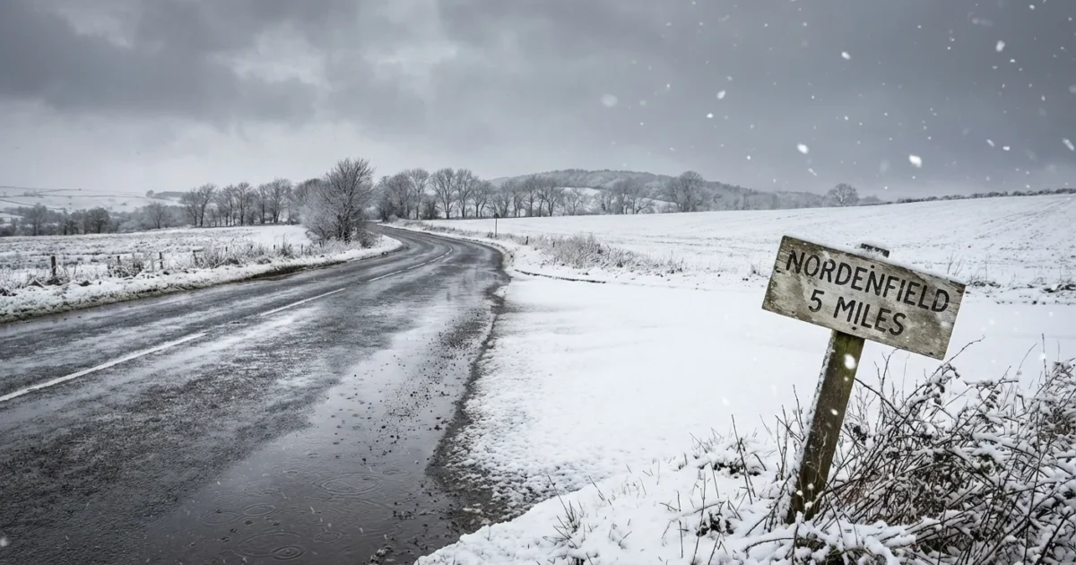
Many counties from the northern Plains to the Appalachians have active winter weather advisories and warnings. I am also seeing pockets of alerts in Virginia and the Carolinas where colder interior valleys could flip rain to snow or sleet. Expect sharp differences over short distances, even within the same county. Roads may be wet in one town and snow‑covered 10 miles away.
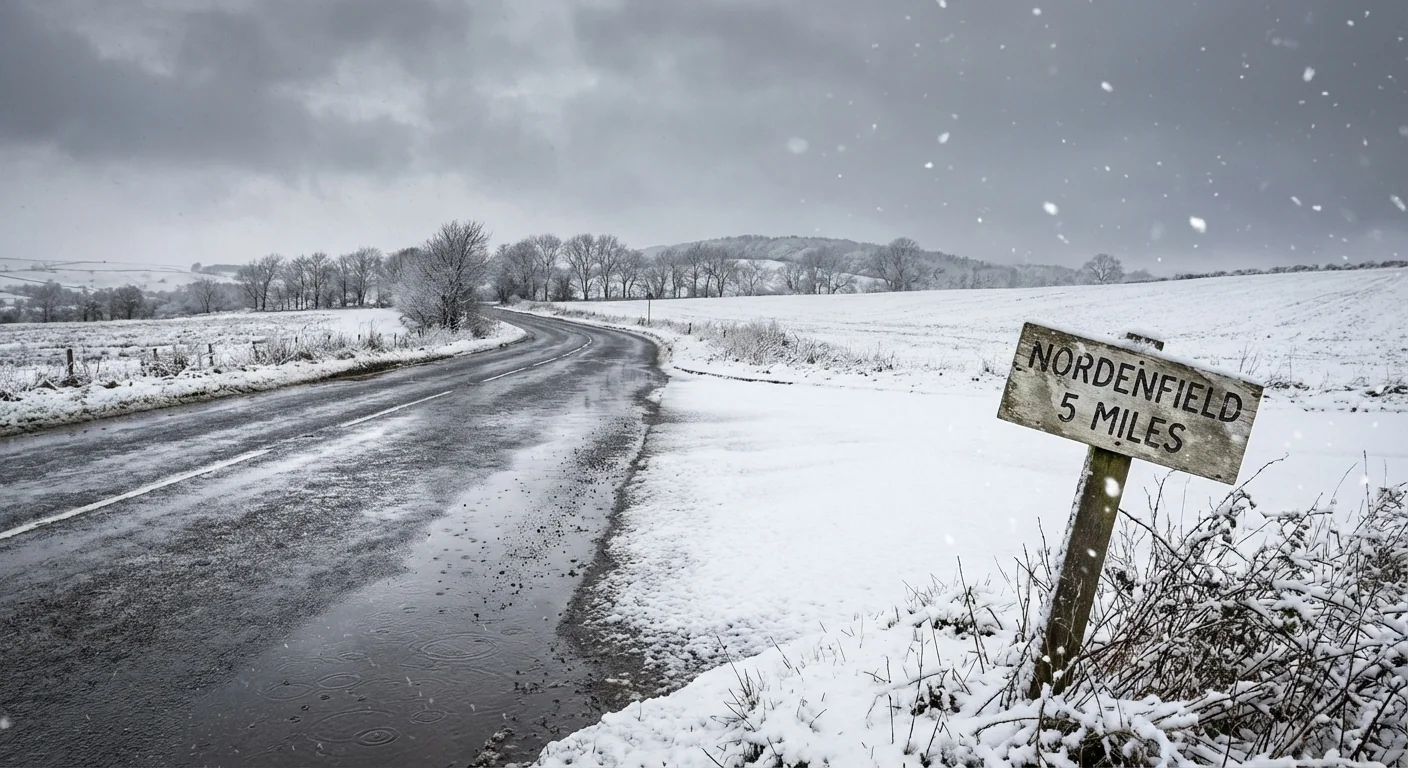
Whiteouts can develop in minutes in open country and on ridgetops. If visibility drops below a quarter mile, slow down, increase following distance, or delay travel.
Why this system is so widespread
Clippers move fast. They live on a strong jet stream, dive south from Alberta, then sweep east. They are usually moisture‑starved, but this one is tapping just enough Gulf and lake moisture to lay down plowable snow in stripes. Cold air is well placed, so snow ratios are efficient. That means fluffy accumulation from lighter precipitation.
Lake‑effect bands are firing because the Great Lakes remain relatively mild for early December. Warmer lake water adds heat and moisture to passing cold air, which boosts snowfall downwind. In the mountains, upslope flow wrings out deep moisture over the windward slopes, which is why totals are so high above 6,000 feet.
Warmer lakes and a wetter atmosphere increase the ceiling for early‑season snow bursts. Climate change does not erase snow, it redistributes and amplifies extremes. Expect sharper swings, heavier local bands, and more rapid transitions.
Region by region impacts and timing
Upper Midwest and northern Plains, Snow expands through today, then winds increase behind the clipper. Blowing snow will reduce visibility on open roads. The heaviest rates arrive this afternoon and evening, with the back edge clearing overnight.
Great Lakes, Expect lake‑enhanced snow tonight into Wednesday. Bands will shift with wind direction. Travel near the lakeshore will be very changeable. A five mile jog can miss the worst, or land you in heavy squalls.
Interior West mountains, Hazardous passes are likely. Strong ridge gusts and deep drifts will keep some high routes difficult or closed at times. Avalanche danger will rise on wind‑loaded slopes.
Mid Atlantic to the southern Appalachians, Colder hollows could see a quick thump of wet snow or a glaze of ice. Slushy roads this evening, especially above 1,500 feet.
Southeast foothills and Piedmont, A few brief wintry bursts are possible on the north side of the system. Most roads stay just wet, but bridges can ice first at night.
How to read winter weather warnings
- Winter Weather Advisory means impacts are expected, plan extra time and caution.
- Winter Storm Watch means conditions are possible within 24 to 48 hours, prepare now.
- Winter Storm Warning means hazardous conditions are imminent or occurring, avoid nonessential travel.
- Wind Advisory or High Wind Warning signals blowing snow risk even after the snow ends.
Build a winter car kit. Include a scraper, small shovel, sand or cat litter, flashlight, phone charger, warm layers, water, and snacks.
Safety and sustainability steps
Plows and salt trucks are rolling, but they cannot be everywhere at once. Crews will focus on primaries first. If you can, shift trips to midday when sun helps road salt. Choose transit or carpool to cut risk and emissions.
At home, lower the thermostat a couple of degrees, seal drafty windows, and avoid using gas ovens for heat. Charge devices before the peak wind window. Keep generators outdoors, far from doors and windows.
- Quick prep tonight, Fuel up, top off washer fluid, check tire tread, bring pets indoors.


