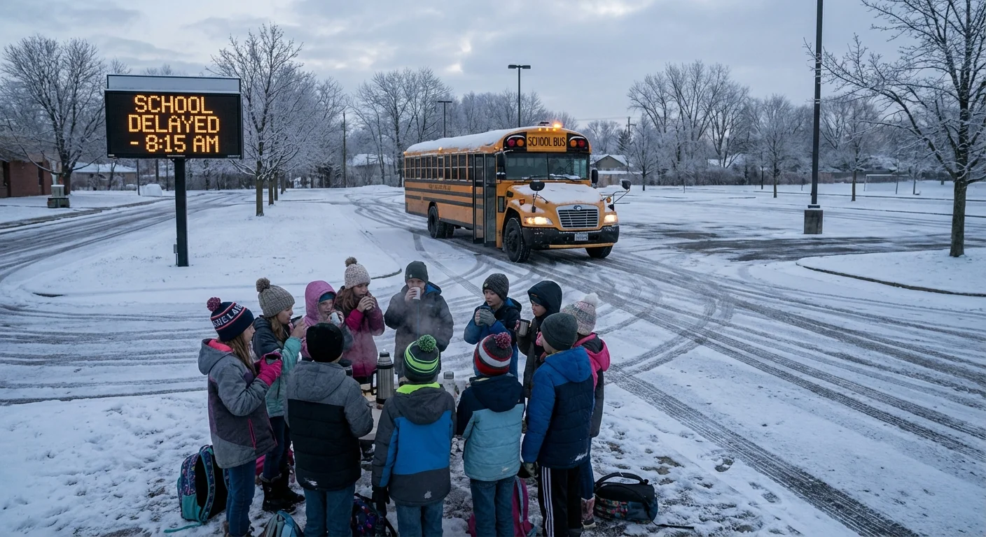
Snow, ice, and bitter cold are pushing schools to hit pause today. From the Upper Midwest to the Mid-Atlantic, districts are delaying start times, closing buildings, or moving classes online. I am tracking conditions and school calls as they change. Safety is the only metric that matters on a morning like this ❄️.
Where delays are hitting hardest today
A broad winter storm is rolling east across the United States this Wednesday, December 10, 2025. Minnesota is taking the first and heaviest punch. Global Academy in New Brighton is closed. Urban Academy Charter School in St. Paul shifted to an e-learning day. Many other districts are running on 2-hour delays to give plows and salt trucks room to work and to allow daylight to expose icy patches.
Michigan and Virginia report growing clusters of closures and late starts. As snow bands and freezing rain change hour by hour, many superintendents are issuing late calls to match the evolving forecast. In North Carolina’s high country, icy side roads and shaded hollows remain the weak links. On Tuesday, Avery County used a remote learning day, and Caldwell County ran a 3-hour delay. This morning’s glaze is still slowing bus routes on ridge tops and back roads.
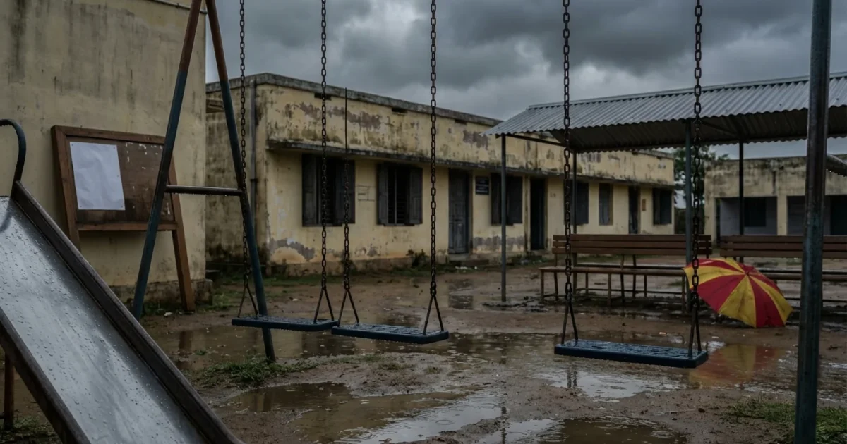
In India, a very different set of hazards is at play. Several states, including Tamil Nadu, Kerala, Maharashtra, and parts of Delhi-NCR, declared school holidays today. Cyclone Ditwah’s aftermath and cold-wave alerts are driving those decisions. The cause differs, but the goal is the same, keep students and staff safe.
Why this storm is so disruptive
This system is a collision of warm, wet air from the south with a deep pool of Arctic air. Where the warm layer rides over surface cold, rain freezes on contact. That creates black ice, which is far more dangerous than snow. In the Great Lakes, added moisture fuels intense snow bands. Visibility drops fast, even as roads briefly look clear.
A warmer atmosphere can hold more water vapor. That means when the air turns cold, storms can wring out heavier bursts of snow. Climate scientists also track how a warming Arctic can disrupt the jet stream. That can slow systems and increase temperature swings. The science is still advancing, but the pattern is clear. We are loading the dice for bigger moisture, sharper contrasts, and harder commutes.
Black ice looks like wet pavement. Assume shine means slick. Slow down, leave space, and avoid sudden braking.
How school leaders choose delay, closure, or remote
These are not easy calls. Districts run predawn road checks, talk with public works and utilities, and test building systems. They weigh weather timing against bus routes and daylight. They consider special education transportation and rural stretches that freeze first and thaw last.
Key factors include:
- Road grip on secondary and neighborhood routes, not just highways
- Timing of snow, ice, and refreeze during pickup and drop-off windows
- Wind chill for walkers, bus stops, and playground duty
- Power, heat, and water status in school buildings
- Staffing and crossing guard availability if schedules shift
Sign up for your district’s text or app alerts. Set a backup alarm. Pack a grab-and-go breakfast. Charge devices the night before.
What families should do right now
If your district announces a delay, use the extra time to prep. If classes move online, treat it like a normal school day with a shorter commute.
- Check the official district alert, then confirm bus stop times and location.
- Dress for layers, including head, hands, and waterproof shoes.
- For e-learning, test logins, camera, and mic. Keep chargers nearby.
- Plan pickup flexibility. Refreeze is common after 3 p.m., when the sun drops.
If your power goes out during e-learning, notify the school when safe. Most districts offer makeup options or flexibility for outages.
The environmental thread
Today’s split story, snow in the United States and cyclone impacts in India, reflects a shared reality. Warmer seas supercharge tropical systems. Warmer air supercharges precipitation. When cold air is present, we get heavy snow and dangerous ice. When oceans boil, we get stronger cyclones and longer recovery windows. Schools sit on the front line of these shifts. Every delay and closure is a small act of climate adaptation.


