BREAKING: Winter storm school closings sweep across multiple regions, from the Great Lakes to the Pacific Northwest and the Mid-Atlantic. Districts are shutting down to protect students and staff as heavy snow, flooding, and early ice challenge roads, buses, and power crews. I am tracking closures and conditions in real time and laying out what is driving them, what it means, and how to prepare.
What is happening now
Michigan: Dozens of districts close for student safety
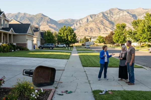
On Wednesday, December 10, dozens of Michigan districts halted classes as snow, wind, and patchy ice made travel dangerous before sunrise. Bad Axe, Caseville, Cass City, Ubly, and neighboring systems in Huron, Sanilac, and Tuscola counties moved quickly to close or delay. Many also canceled after-school activities. Some districts kept child care open where staff could arrive safely. Road crews needed daylight to catch up, and outages complicated bus routes and heating plans.
[IMAGE_1]
Pacific Northwest: Flooding and mountain snow strain schools
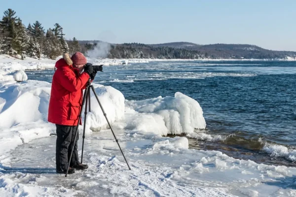
An intense atmospheric river soaked western Washington and northwest Oregon while the Northern Rockies piled up deep snow. Urban flooding pushed water into streets and parking lots. Some schools lost power. Others closed due to impassable roads and fast-moving water. In the Cascades and northern ranges, whiteout bursts made mountain passes risky for buses and supply trucks.
[IMAGE_2]
Mid-Atlantic: Early-season snow triggers delays
On December 5, the D.C. region saw its first measurable snow. Totals were modest, but timing and icy side streets led to delays and closures in parts of Loudoun and Prince George’s counties. It was a clear reminder. Even light snow can disrupt schools when it arrives early in the season and temperatures swing around freezing.
Why districts close during winter storms
School leaders make the call before dawn. They drive test routes. They talk with transportation chiefs and utilities. They assess salt supplies and bus yard conditions. Three factors dominate every decision. Are roads safe for buses and teen drivers. Is there stable power and heat for buildings. Can staff and students get to school and home again without risk.
Ice is the top hazard. It is invisible at 5 a.m., and a thin glaze can turn a routine route into a crash scene. Wet heavy snow also breaks branches, which takes out power and blocks streets. Floodwater is no place for a school bus. It hides potholes and can rise fast.
Ice, not snow totals, is often the trigger for a closure. A half inch of ice can shut down an entire region.
The climate signal behind today’s disruptions
This week’s pattern is a snapshot of a warming world. The Pacific storm firehose, known as an atmospheric river, is powered by moisture-rich air that has been warmed by the ocean. Warmer air holds more water. When that air lifts over mountains, it wrings out torrents of rain and deep, heavy snow.
Across the Great Lakes, fall and early winter lake waters run warmer than they used to. That can juice lake effect bands, which drop intense snow on narrow corridors. Then temperatures can flip. We end up with freeze, melt, refreeze cycles that polish roads into ice.
The Mid-Atlantic is feeling the volatility too. Fewer cold days overall, but bigger swings. When a cold shot lines up with a wet system, early-season snow arrives on warm ground, and slushy roads quickly refreeze at night. Schools must plan for stop and start winters that change by the hour. This is the new baseline for operations and safety.
What families and schools can do today
Families and educators can blunt the chaos with a few simple steps that work in any region.
- Sign up for district text alerts and enable location warnings on your phone.
- Keep devices and portable chargers topped up before each storm.
- Prepare a quick remote learning packet, paper and digital, for short closures.
- Lay out a backup child care plan with neighbors or relatives.
- Review safe walking and bus stop plans, including reflective gear.
Districts should publish clear closure decision times, 5 a.m. is common, and share the exact channels they use to notify families.
Do not drive through floodwater. Turn around. Downed lines and hidden debris can be deadly.
The bottom line
I am seeing a multi-region winter pattern that is hitting schools at once. Michigan closed widely to protect students from icy roads and outages. The Pacific Northwest is juggling flooding and mountain snow. The Mid-Atlantic already had an early wake-up call. This is not random. A warmer atmosphere is loading storms with more moisture, then temperature swings are turning that moisture into complex hazards. Smart planning, fast communication, and basic storm prep will keep kids safer while we ride out this week’s weather.


