BREAKING: Winter Storm Warnings Posted As Snow, Ice, Arctic Cold, And Northwest Flooding Hit At Once
I am confirming winter storm warnings across the Upper Midwest and into parts of the Northeast. Heavy snow, a glaze of ice, and strong winds are moving in fast. At the same time, the Pacific Northwest is dealing with major flooding from a powerful atmospheric river. The nation faces two very different winter hazards at once, and both are dangerous.
What A Winter Storm Warning Means
A Winter Storm Warning signals hazardous winter weather that is imminent or already happening. It can threaten life and property. Warnings are typically issued 12 to 36 hours before the worst conditions. That window is your time to act, not to wait.
Winter Storm Warning means heavy snow, sleet, or freezing rain is expected soon. Stay off the roads if you can.
In a warning, expect rapid drops in visibility, slick roads, and strain on the power grid. If you lose power in extreme cold, indoor temperatures can fall quickly.
Region By Region: The Setup And The Hit
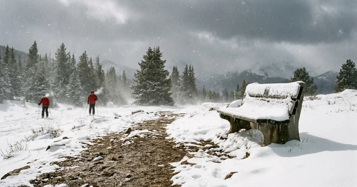
An Alberta clipper is sprinting out of Canada and across the Upper Midwest. Clippers are fast, compact storms. They can still punch hard. I am tracking snow totals of 4 to 8 inches for wide areas from the Dakotas to Wisconsin and Michigan, with locally higher amounts. Gusts will top 30 miles per hour at times, which means blowing and drifting. The combination will cut visibility and glaze over roads in minutes.
Mountain zones are a different story. Higher terrain from the northern Rockies can see 1 to 2 feet where bands stall. That is serious loading on trees and lines. Icing is also possible along the southern and eastern edges of the snow shield, especially where warmer air noses in aloft.
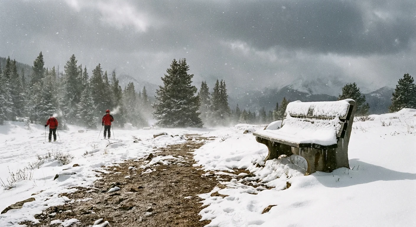
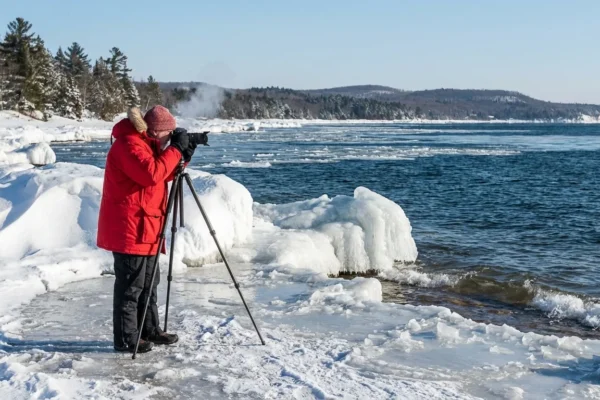
The cold behind the clipper is sharp and dangerous. Arctic air will drive temperatures 20 to 40 degrees below normal across the Midwest and into the Northeast. Record lows are on the table in some states. Millions will stay below freezing through the day. That cold locks in any ice and deepens snowpack, extending impacts even after the snow stops.
Now, the contrast. The Pacific Northwest is not getting snow. It is getting too much water. A long plume of Pacific moisture, an atmospheric river, is unloading torrential rain. Flooding, mudslides, and river surges are ongoing. Evacuations and road closures are in effect in several communities. This is still a winter storm story, just with rain instead of snow.
Why These Extremes Are Happening Together
This pattern lines up with what we see in a warming world. Warmer oceans add moisture to the air. When storms form, they can wring out heavier precipitation. That is why the Northwest is flooding while it is still winter. At the same time, the high altitude jet stream can wobble more, which can pull Arctic air south. When that cold air collides with moisture, snow and ice spike fast.
Think of it as more energy in the system. More moisture where storms tap the Pacific. Sharper cold where the Arctic air drops south. The result is split hazards across the map, but a unified impact, high risk to people and infrastructure.
What You Need To Do Now
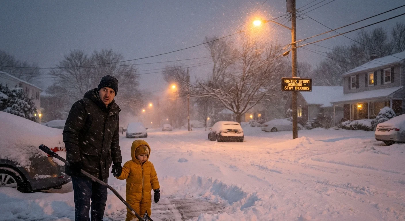
If you are under a Winter Storm Warning, plan to stay put. Postpone nonessential travel. Charge phones and backup batteries. Check heat sources and carbon monoxide alarms. Know where your warm layers, flashlights, and medicines are.
- Build a 72 hour kit, water, food, meds, flashlights, batteries
- Keep devices charged, including power banks
- Fill your gas tank, or charge your EV early
- Bring pets inside and check on neighbors
- Move snow shovels, salt, and sand to the door
If you must travel, go early and keep it short. Tell someone your route and timing. Pack a car kit with blankets, snacks, and a scraper.
- Slow down and increase distance
- Avoid back roads that drift shut
- Watch bridges and overpasses for ice
- Never drive through flood water
Heat your home safely. Keep generators outside, far from doors and windows. Use space heaters with tip sensors only.
This is also a resilience test. Communities can reduce risk by hardening the grid, protecting floodplains, restoring wetlands, and updating building codes for wind, snow load, and ice. Green infrastructure, like rain gardens and urban trees, slows runoff and cools cities in summer, which eases grid stress year round.
The Bottom Line
This is a high impact winter moment. Heavy snow and ice in the Upper Midwest and Northeast, and dangerous flooding in the Pacific Northwest, are striking at once. I will continue to track the storm and the cold. Follow your local National Weather Service office for timing where you live. Prepare now. Stay off the roads if possible. Check on one another. Lives depend on it.

