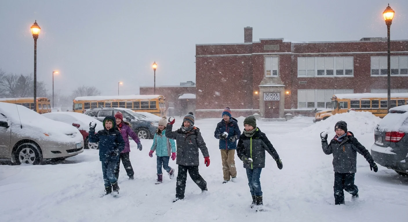
BREAKING: Schools close across multiple states as a powerful atmospheric river slams the Pacific Northwest and a fast winter storm tears across the Northern Plains. Districts from Seattle to Minneapolis are shutting doors, moving to remote plans, and urging families to stay off icy roads. I am tracking widespread flooding, high winds, and whiteout snow that are already straining transport and power systems.
What’s happening right now
Two high impact systems are hitting at once. In western Washington and northwest Oregon, an atmospheric river is unloading torrents of rain. Rivers are rising fast. Low roads and basements are flooding. Rescue crews have already pulled people from high water around the Seattle area. In the northern Rockies and northwestern Wyoming, more than a foot of snow has fallen, with drifts growing along passes and ranch roads.
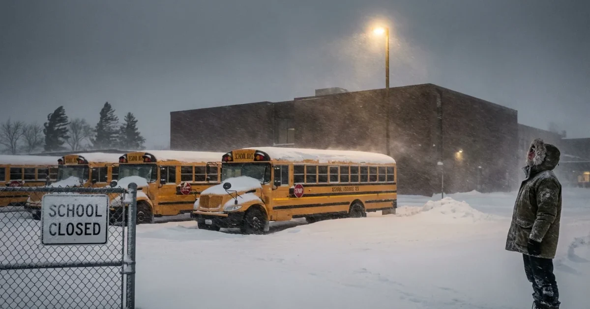
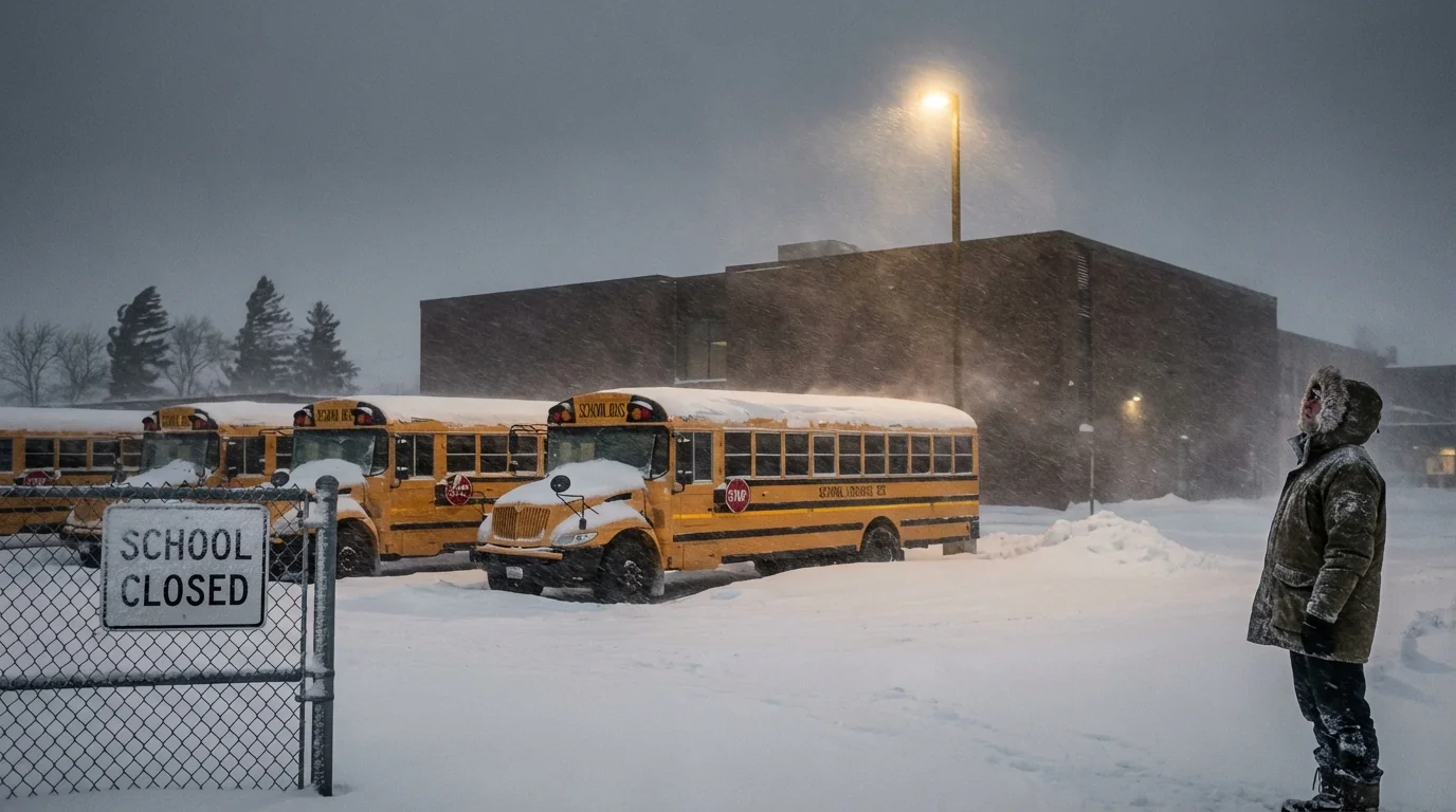
At the same time, a sharp winter storm is racing across North Dakota, Minnesota, Wisconsin, and Montana. Freezing rain is glazing highways. Winds are strong. Snow is cutting visibility to near zero in open country. County sheriffs are issuing no travel advisories. Many districts are canceling buses and classes today for student safety. More than 18 million people are now under active winter weather alerts across the West and Upper Midwest. That number will shift as warnings are upgraded or extended.
Why schools are closing, and how decisions get made
Closures are not only about snow depth. District leaders look at ice risk, wind, flooded routes, and power. They talk with county emergency managers and highway crews before dawn. If buses cannot safely navigate hills, bridges, or known flood spots, schools close. If power is out in key buildings, even a light snow day becomes a shutdown. In flood zones, closures may last longer. Rivers in the Pacific Northwest are forecast to crest later this week, which means continued bus detours, waterlogged sidewalks, and damaged culverts.
For the Upper Midwest, ice is the tipping point. A thin glaze can turn a green light into a crash scene. Once plows and sanding crews gain ground, districts can reopen. But blowing snow may refill roads for days after the main band passes.
Do not drive through flooded roads. Turn around. Water hides washouts, downed lines, and fast currents.
The climate signal behind the chaos
This back to back hit is not random. Warmer Pacific waters load the atmosphere with more moisture. That feeds stronger atmospheric rivers that wring out over the Coast Range and Cascades. More water falls in less time, which raises flood risk even in familiar rain zones. In the Northern Plains, a warmer baseline can turn storm edges into ice rather than powder. That makes travel more dangerous and power lines more fragile.
Jet stream swings can also stack events. A deep trough grabs cold air, while a strong subtropical plume drives moisture north. When these meet, storms intensify. Add long term land changes, like paved surfaces and reduced floodplain storage, and runoff spikes. Schools sit inside that system. When roads fail, class plans fail.
How families and schools can prepare today
Plan for closures to last beyond the first headline. Flood crests and ice cleanup often lag the storm by a day or more. Parents should set a simple routine for remote days. Know the district’s alert system, and check it early in the morning. Keep devices charged. Pack paper worksheets for when the power blinks.
Administrators should prepare for staggered returns. Inspect routes for downed trees and damaged shoulders. Coordinate with utilities on heating and internet restoration. Food service teams may need grab and go pickups for students who rely on school meals.
- Where to get reliable updates: district websites and texts, local NWS alerts, state DOT road cameras, and utility outage maps.
Store a 72 hour kit, with water, shelf food, meds, chargers, flashlights, and a battery radio. Add snow gear for kids.
What to expect next
In the Pacific Northwest, saturated soils will keep slides and tree falls likely even after the heaviest rain ends. Rivers are expected to crest later in the week, which may push some schools to extend closures or shift to remote learning. In the Upper Midwest, a brief lull may follow, then lake effect snow could redevelop as winds back. Travel windows will open and close. Crews will also face salt shortages and rising costs. Cities can cut salt use with early brining, better plow timing, and sand in sensitive watersheds to protect streams.
If your school sits near a river or a tidal reach, plan for closures through the crest and at least one day after, to allow damage checks.


