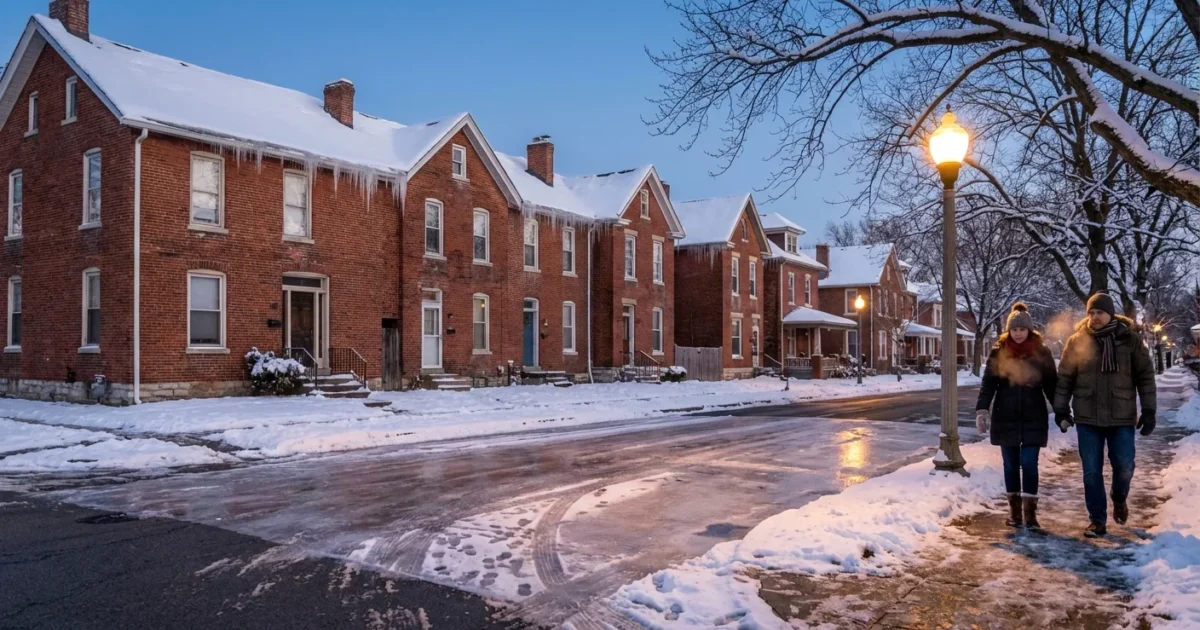
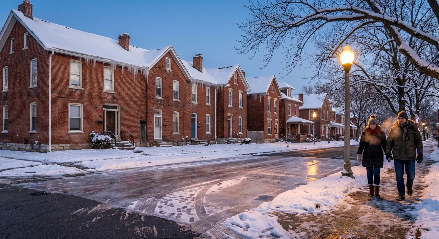
Breaking: Heavy snow has locked in over Indianapolis this afternoon, and the cold is closing in fast. I am tracking steady bands building toward heavier bursts through late day. A Winter Storm Warning is in effect for Marion County from 11 AM to midnight EST. Travel is already difficult in many spots, and it will get worse as temperatures fall.
What is happening right now
Indianapolis sits at 29°F, with light snow thickening at times. The core of this system slides over central Indiana today, pulling deep moisture into colder air. Expect persistent snow to intensify through the afternoon and early evening. Totals of 4 to 6 inches are likely for much of the metro, with a few pockets higher.
Road treatments are struggling as snowfall rates increase. Visibility will dip under the heavier bands. Once the sun sets, temperatures drop into the teens. By daybreak, readings are near or below 0°F, and wind chills fall well below zero. That cold will lock up anything wet, creating glare ice on untreated surfaces.
Roads turn slick quickly under heavier snow, and wind chills below zero can be dangerous. Limit travel and cover exposed skin if you must go out. ⚠️
Why this storm packs a punch
This is a classic setup for central Indiana. A low pressure center is tracking east of the city. To our north, colder Arctic air is spilling in behind it. The two meet over the I‑65 and I‑70 corridors, where lift is strongest. That lift squeezes moisture into steady snow, with bursts that can lay down an inch in an hour.
The climate context
Indiana winters are warming on average, but that does not cancel big snows. A warmer atmosphere holds more water. When true cold arrives, storms can wring out heavier snow in shorter windows. We are seeing that today, as temperatures hover near freezing early, then tumble. Expect more winter swings like this in coming years, with brief thaws followed by sharp freezes.
Travel and safety impacts
Roughly four dozen counties are under travel advisories. In Marion County and suburbs, plows are active, but snow can outpace treatment during peak bands. Ramps, bridges, and neighborhood streets are the first to ice. Black ice risk rises fast after sunset as temperatures crash. Flights and buses may see delays. The deep cold tonight raises concerns for exposed pipes, pets, and people without reliable heat.
Power issues are possible where wind nudges lines and where snow piles on tree limbs. This looks like a mainly powdery snow, which is better than heavy, wet snow for outages. Even so, the cold itself creates strain on the grid during the evening peak.
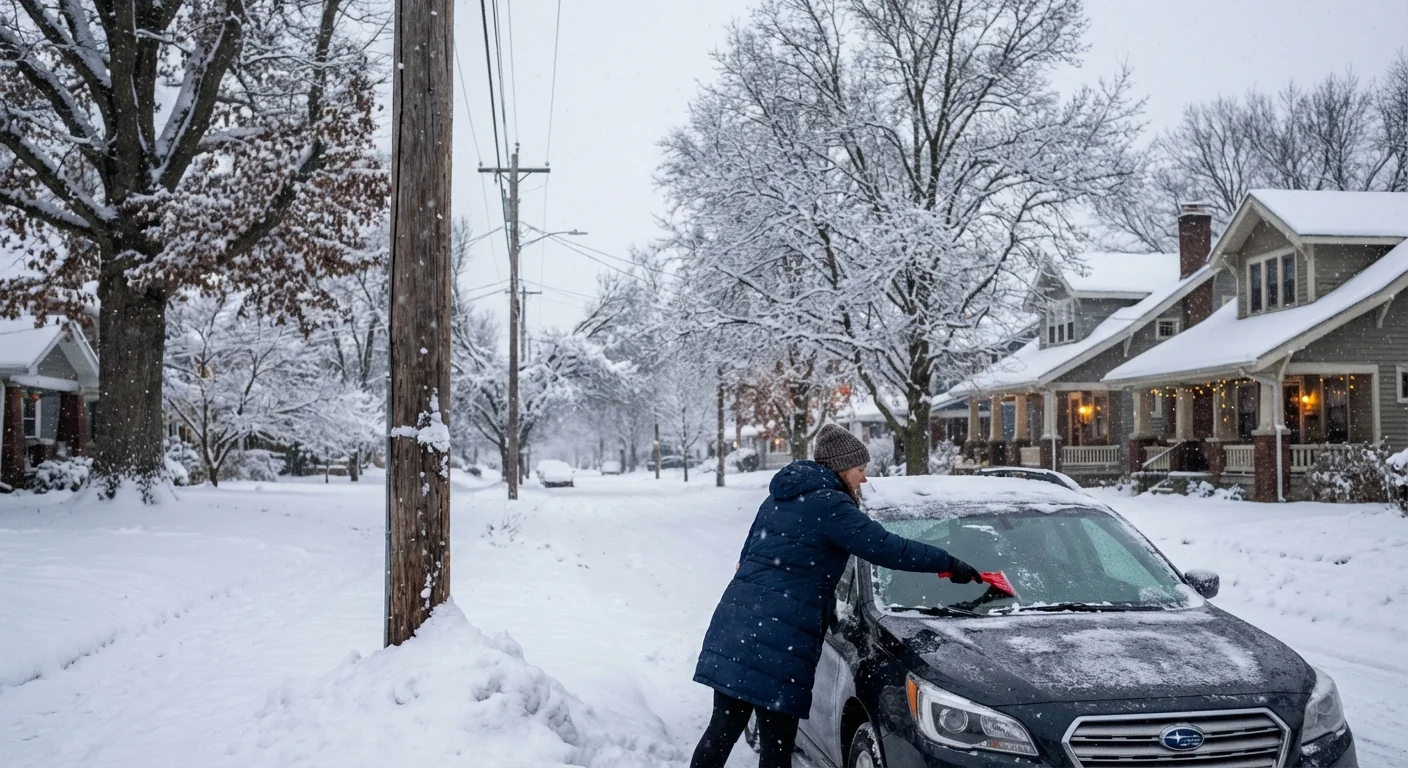
Shovel early and often to cut salt use. If you need deicer, use sand for traction or a chloride blend labeled pet and plant safe. ❄️
What to do now
- Through late afternoon, avoid nonessential trips. If you must drive, slow down and leave space. Keep lights on.
- Before evening, clear walks and driveways, charge phones, and set faucets to a slow drip to protect pipes.
- After sunset, bring pets inside, check on neighbors, and layer up if you step out, hat and gloves are a must.
- Overnight, keep heat at a steady setting, close curtains, and open cabinets near exterior pipes for airflow.
Conclusion
Indianapolis is in the teeth of this winter storm, and the cold will flip the switch from messy to dangerous after dark. The snowfall window is short, but it is intense enough to snarl travel and test our cold‑weather readiness. Stay off the roads if you can, look out for one another, and take simple steps now to save energy and reduce salt runoff. I will continue to track the bands and the plunge in temperatures as the evening unfolds. Stay warm, stay safe, and stay tuned.


