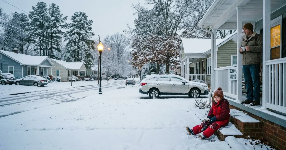
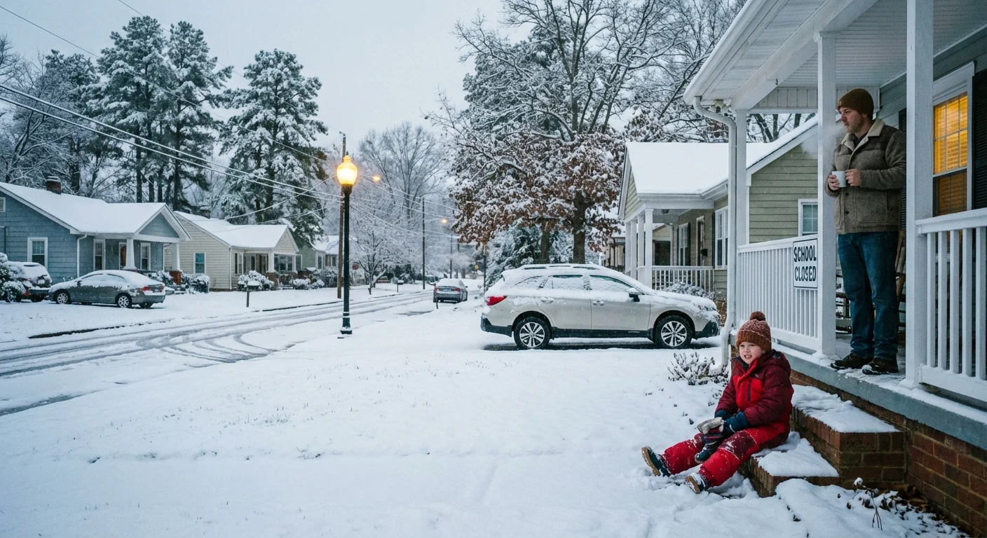
BREAKING: Winter Storm Closes Schools Across North Carolina, Remote Learning Kicks In
Snow, bitter air, and slick roads have shut down a wide swath of North Carolina today. I am confirming widespread closures, delays, and remote learning across the Piedmont Triad, Triangle, and parts of Eastern North Carolina. The timing on a Monday is tough. Families are juggling childcare, work, and lessons at home as black ice lingers on neighborhood streets and rural bus routes.
What Is Happening Right Now
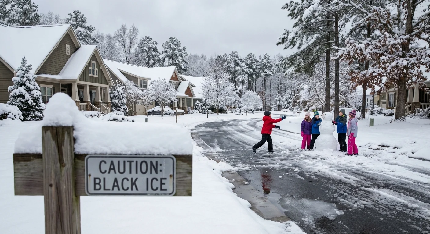
A Winter Weather Advisory is in effect for central North Carolina today, December 8. Light to moderate snowfall arrived before sunrise. Temperatures dropped quickly, which turned wet roads into ice. The risk is highest on bridges, shaded back roads, and hills that see less road treatment.
Major districts are closed today. Wake County, Durham, Chapel Hill–Carrboro, Johnston, Wilson, Nash, Franklin, and Warren County Schools are not holding in-person classes. Some systems switched to remote instruction to avoid losing instructional time. Person County and Edgecombe County moved online. Durham Tech also shifted to remote operations.
In the Piedmont Triad, the picture is mixed. Elkin City, Mount Airy City, Rockingham County, and Yadkin County closed. Stokes, Surry, and Wilkes are remote learning. Alleghany County is on a two hour delay. Eastern counties have a patchwork of plans as the wintry band nudges east. Wayne County is dismissing early. Halifax is closing schools around midday to beat the refreeze window.
Black ice is forming again as temperatures stay below freezing. Use extra caution on untreated roads and sidewalks.
Why Schools Decided To Shut Down
These calls are cautious and data driven. Leaders weigh bus route safety, timing of road treatment, and how long subfreezing air will last. Early morning lows cooled road surfaces fast, which limited the effect of salt and brine. Many districts have already used banked days this fall, so remote learning is the pressure valve that protects classroom time.
Safety comes first for walkers, teen drivers, and buses on rural routes. Even a thin glaze can send a school bus into a ditch. That is why you see full closures in big urban systems and remote options in nearby counties. Local terrain, tree cover, and elevation all matter during a light but icy event.
If you must drive, leave extra room, stay off cruise control, and treat every bridge like it is icy.
The Weather Pattern, Explained
This storm is a classic Carolina clipper, fast and sharp. A quick moving low tapped into cold air that slid in late Sunday. The ground was still cool from the weekend chill, which helped snow stick on secondary roads. As the system pulls away, skies try to clear, but temperatures lag. That is a setup for a late day refreeze.
Climate science adds an important layer. A warmer atmosphere holds more moisture. When a cold air mass undercuts that moisture, short lived winter storms can drop impactful snow and ice. We see fewer deep freezes over a season, yet the swings are sharper. That raises the odds of black ice mornings around early season events.
What Families Can Do Today
Keep plans simple. Remote days work best with a clear schedule, a charged device, and a backup for lunch if school meals are delayed. If your district is closed without remote learning, use the time to prep for Tuesday. Power outages are not widespread right now, but a few gusty bands are still possible.
- Check your district app or email every two hours for updates.
- Charge laptops, phones, and hotspots, then set logins before class time.
- Line up a neighbor or family contact for childcare backup.
- Set shoes and salt near the door to manage icy steps.
Expect make up day decisions later this week. Districts will announce how remote days count toward hours and how closures affect calendars.
What To Expect Next
Road crews will make progress this afternoon, but melting will be limited under cold air. Many districts will reevaluate by early evening. Watch for announcements between 5 and 8 p.m. The biggest question is the morning refreeze. If clouds clear and winds ease, ice hardens again before sunrise.
- Monitor for a second round of delays for Tuesday morning.
- Look for bus route changes on hills and gravel roads.
- Watch cafeteria updates if deliveries were postponed today.
- Track any extracurricular cancellations through the evening.


