BREAKING: Snow emergency levels climb as Winter Storm Fern hits Ohio
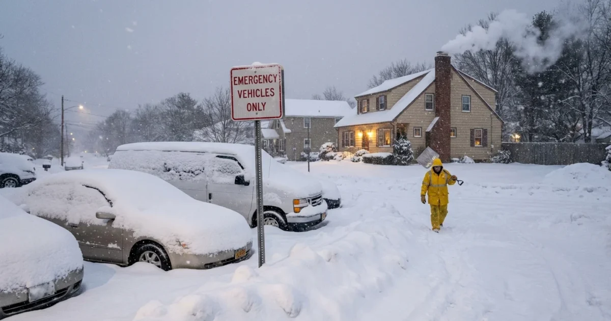
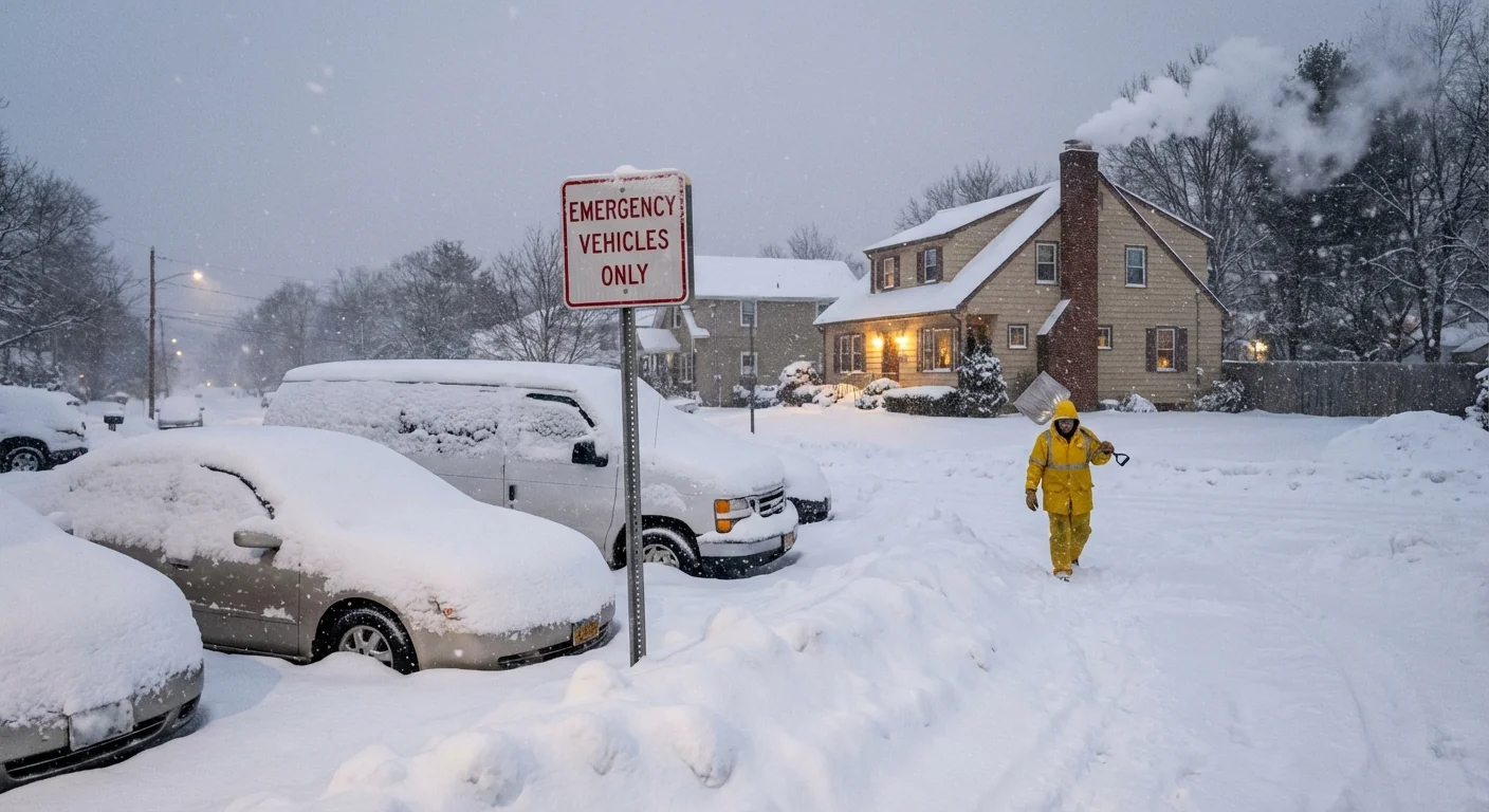
Heavy snow, sharp wind, and fast icing are moving across Ohio. County sheriffs are issuing snow emergency levels as conditions change. I am tracking road sensors, plow reports, and county alerts right now. If you must travel, know your county’s level before you go. This storm has teeth. ❄️
What each snow emergency level means
Ohio uses three simple levels. They carry real weight during a winter storm.
- Level 1: Roads are hazardous. Snow or ice is present. Drive with caution.
- Level 2: Only necessary travel is advised. Check with your employer about work.
- Level 3: Roads are closed to non emergency traffic. You may be cited if you drive.
At Level 1, you can usually move with care. At Level 2, think twice, then check with your boss. At Level 3, the call is clear. Stay off the roads unless you are essential or emergency staff under local guidance. Schools and offices often use these levels to help decide closures. Closures are not automatic, so watch for official notices from your district or employer.
Level 3 carries legal consequences for non essential drivers. Do not assume your county matches your neighbor’s county. Levels can change mile by mile.
Who sets the level, and why counties differ
In Ohio, each county sheriff sets the snow emergency level. They base it on local plow capacity, crash data, wind, visibility, and ice risk. That is why Franklin County may be at Level 2 while Delaware is at Level 1, or the reverse. County lines matter today.
Do not rely on a single statewide claim. Check your county sheriff’s website or verified social feeds for current status. Use Ohio DOT traffic resources for closures and travel times. If you cross county lines, check each county on your route. Storm bands are uneven, and wind can turn wet snow into glaze ice in minutes.
Save your county sheriff and ODOT pages to your phone. Keep your battery high. If power blips, your saved links still work.
The climate signal behind the snow
Winter Storm Fern formed in a sharp temperature gradient. Cold Arctic air met a surge of milder, wetter air from the south. Warmer air holds more moisture. That can load storms with heavier snow. When surface temps hover near freezing, the snow is wetter and denser. That adds weight to trees and lines, and it slicks roads faster.
Ohio sits downwind of the Great Lakes. Lake effect and lake enhancement add bursts of snow where wind lines up with open water. The lakes have been trending warmer into early winter in many recent years. That can increase late fall and midwinter moisture, even as total season snowfall varies. Climate change is not a steady line for snow totals. It creates bigger swings. Longer fall warmth, quick freeze ups, and rain to snow flip events raise ice risk. Today’s setup is a textbook example of that volatility.
Travel and work decisions, hour by hour
Your best move is simple. Match your plan to your local level, then build in time. If your county is at Level 2, talk to your employer now. Remote options cut risk and help plows clear lanes. Fewer cars mean faster recovery and fewer crashes. That is good for safety and good for emissions, since idling in gridlock burns fuel with no benefit.
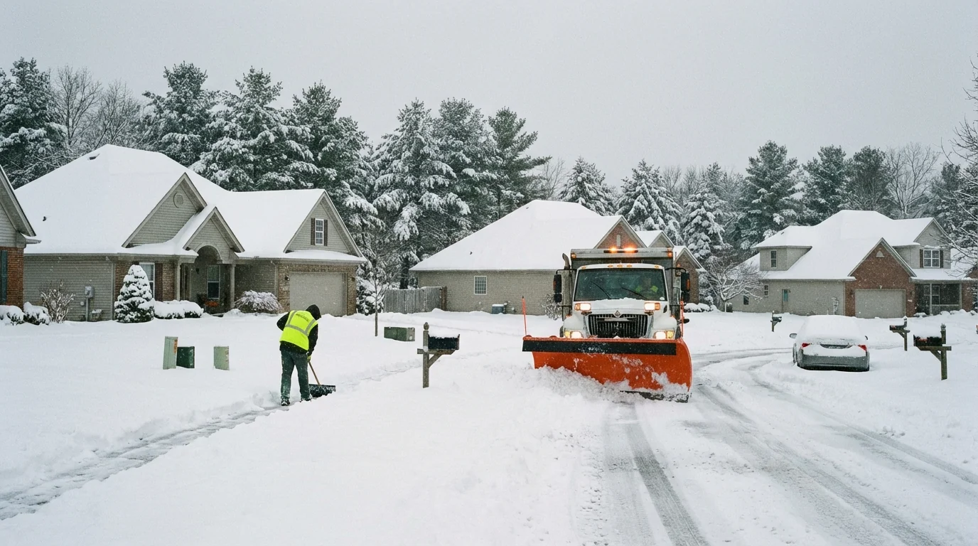
If you must drive, slow down and leave space. Snow tires and full wiper fluid help. Keep a small kit with a scraper, gloves, a phone charger, and sand or kitty litter for traction. Do not crowd plows. Give salt trucks room to work. Spread only the salt you need on your driveway. Extra salt washes into streams and harms fish and soil. A coffee can of sand adds grip without the runoff.
Here is a simple plan before you go:
- Check your county’s level and your employer’s status.
- Map a route that avoids high bridges and open ridges, which ice first.
- Top off fuel or charge. Clear all windows, lights, and sensors.
- Tell someone your route and arrival time. Take it slow. 🚗
What I am watching next
Bands on the west and north sides of the low will pivot across central and northern Ohio through the afternoon. Wind gusts will pick up behind the front, which will drop wind chills and create blowing snow. That could push more counties to Level 2 or Level 3 for the evening drive. Power lines may sag under wet snow in pockets. If you lose power, report it, then keep doors and windows closed to hold heat.
I will keep monitoring county alerts, highway cameras, and plow progress as Fern moves east. Expect updates on levels, road closures, and timing for the changeover to lighter snow. Stay flexible, stay patient, and stay informed. Smart choices today keep the grid stable, protect road crews, and save lives. That is resilience in action during a winter on a warming planet.


