Snow is falling hard across the District, and the storm is only getting messier. I am tracking a fast change to sleet and ice this afternoon that will lock in slick roads and sidewalks through tonight. Travel will be slow. Cold air will hold on into early week, so what falls today will stick.
What is happening right now
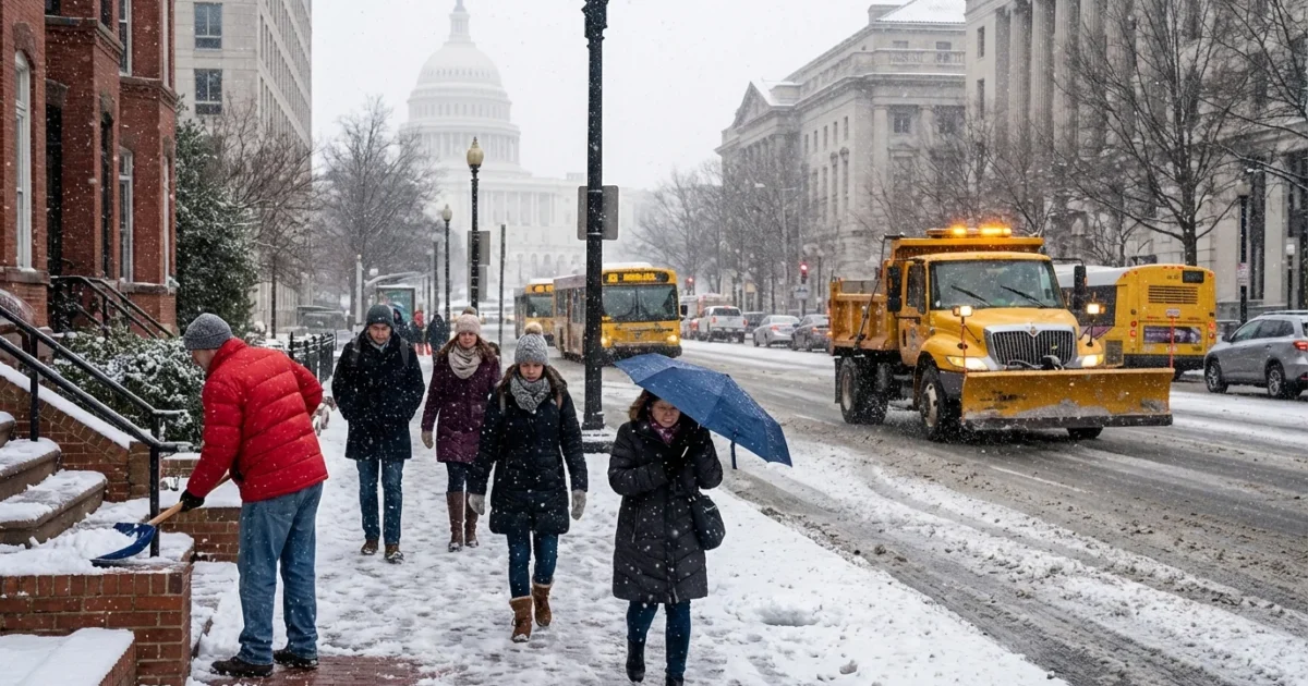
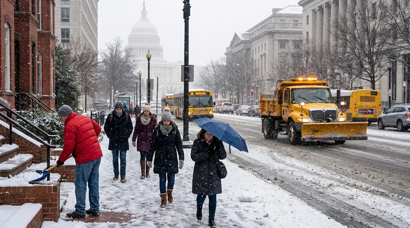
Steady snow is covering the DC metro this morning. The core of the city has picked up a few inches, with higher totals in upper Northwest and along the Maryland line. South and east of the city, snow is wetter and heavier. That is a sign of warmer air sneaking in above the surface.
Temperatures are near freezing in most neighborhoods. Treated main roads are slushy. Side streets, bike lanes, and sidewalks are icy. Plows and salt trucks are out, but the rate of snow and sleet will challenge them. Expect visibility to drop in any heavier band.
A warm layer is moving in a few thousand feet above the city. That layer will flip flakes to sleet, then to a glaze of freezing rain in spots. The change will start south of the Beltway, then push north through downtown and into Montgomery and northern Prince George’s late afternoon.
The changeover window runs from early afternoon through evening, south to north. A quick burst of sleet can pile up fast. A thin glaze of ice is likely on untreated surfaces. Power lines and tree limbs are most at risk south and east of the city.
The science behind today’s messy mix
This storm is classic winter volatility in a warming climate. Cold air is shallow near the ground. A wedge of warmer air is parked above it. Snowflakes fall into that warm layer, melt, then refreeze as pellets or freeze on contact at the surface. That is why one zip code keeps snow while the next gets ice.
Warmer oceans are fueling the storm’s moisture. That adds punch to the snow at first, then to the sleet and freezing rain. The urban heat of downtown can raise surface temperatures a degree or two. That small bump still leaves many sidewalks icy, especially in shade. Our winters are trending milder, but they are also getting spikier. That means more mixed precipitation events and higher ice risk when cold air undercuts warm, wet air above.
Timing and impacts on travel and power
Snow holds into midday for most of the District. The mix line noses in from the south by early afternoon. The evening commute may be the worst period, with sleet and freezing rain on top of compacted snow.
- Late morning to early afternoon, snow, moderate at times, roads snow covered and slushy.
- Mid to late afternoon, change to sleet in the city and inside the Beltway, icy conditions expand outward.
- Evening, pockets of freezing rain possible, especially south and east, scattered slick power lines and limbs.
- Overnight into Monday morning, light wintry mix tapers, refreeze sets in, black ice likely.
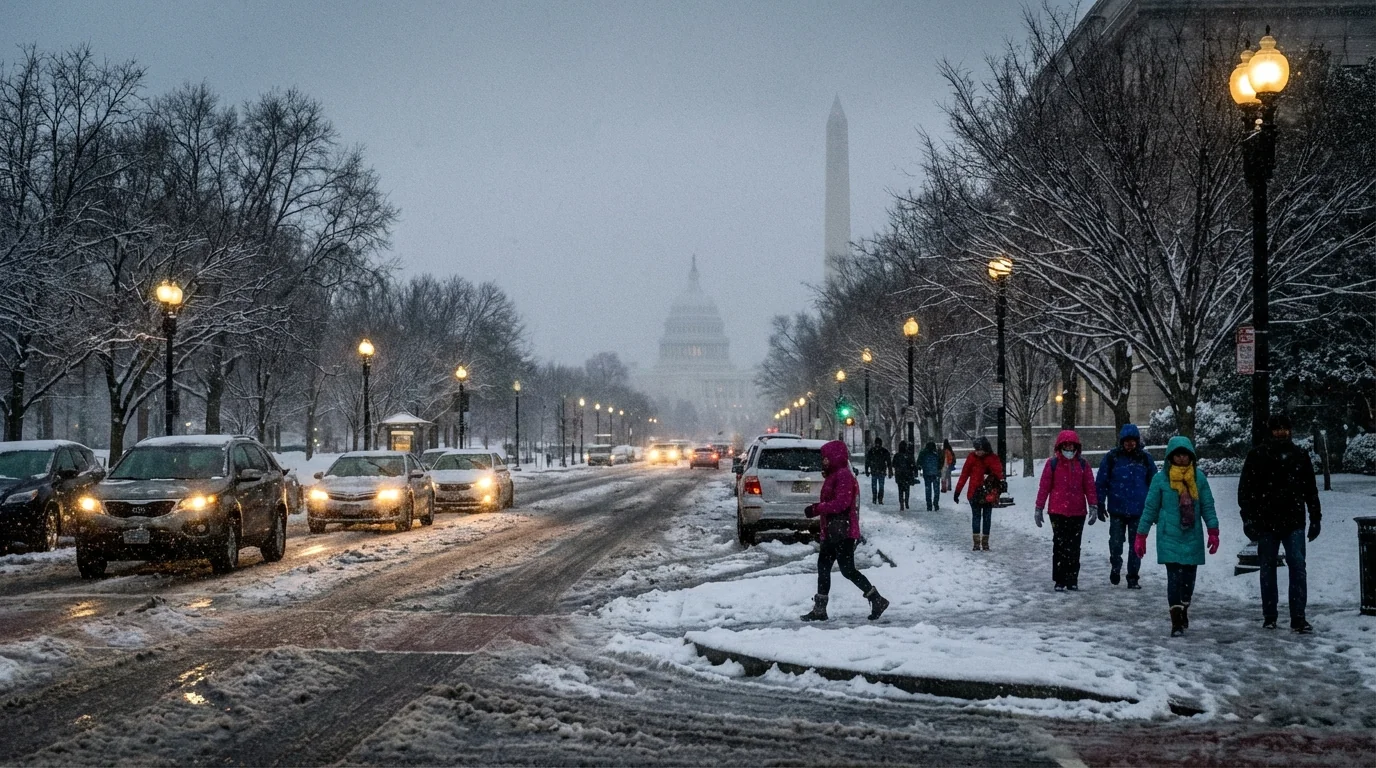
If you must travel, plan extra time and give plows room. Bridges, ramps, and overpasses will ice first. Buses will run slow. Metro rail is a safer bet, but walks to stations could be treacherous.
Shovel early and often to keep snow from bonding to pavement. Use sand or calcium magnesium acetate instead of rock salt near trees and pets. Clear storm drains so melt water can flow. If you can, take transit and avoid idling. It cuts emissions and keeps roads clear for crews and emergency vehicles.
Climate and community, preparing smarter
Salt saves lives on the road, but it harms the Anacostia and Potomac when overused. It also burns soil and tree roots. Smart salting matters. Use only what you need, and sweep up extra for reuse. Today’s wet snow plus ice is hard on the urban canopy. Limbs already stressed by past heat and drought can break under this weight. Keep an eye on street trees near parked cars and sidewalks. Report downed limbs and live wires. Do not touch any line.
This storm also tests our energy use. Heat demand spikes in cold snaps, then ice brings outage risks. Set thermostats to a steady, safe level and seal drafts. That reduces strain on the grid and keeps homes more stable if power flickers.
What to do next
Right now, get your final errands done before the sleet arrives. Treat steps and walkways, and check on neighbors who may need help. Keep phones charged. If you are driving, slow down and leave space. Black ice will be invisible after sunset. Expect lingering slick spots into Monday morning, even if skies brighten.
I will keep tracking the changeover and the heaviest bands as they move through the city and Maryland suburbs. Conditions can shift block by block. Stay alert to new advisories. We will get you through this, safely and sustainably. Stay warm, stay patient, and take it step by careful step. 🌨️


