A fast-hitting winter storm has flipped the morning routine across a broad swath of the Midwest, Northeast, and Mid-Atlantic. I am tracking widespread closings and delays as snow, sleet, and pockets of freezing rain turn side streets into ice sheets and cut visibility on main roads. More than 100 schools and institutions have already changed schedules, especially in Western Pennsylvania and Central Ohio. Many shifted to two-hour delays or e-learning. Several counties have posted snow emergencies as plows race the clock.
What is happening right now
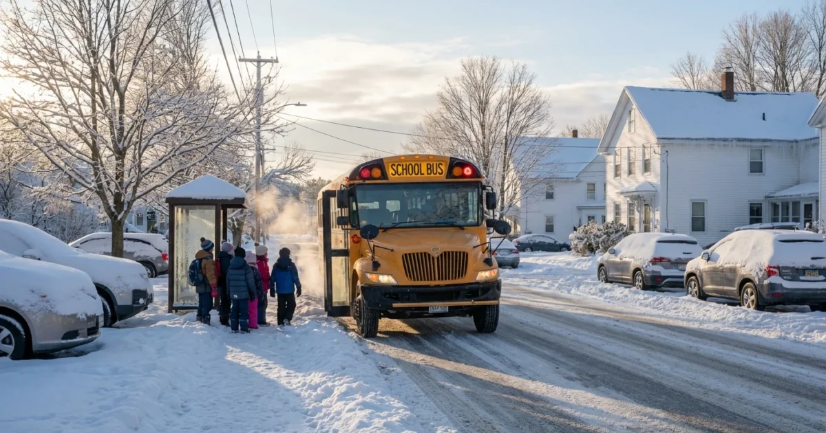
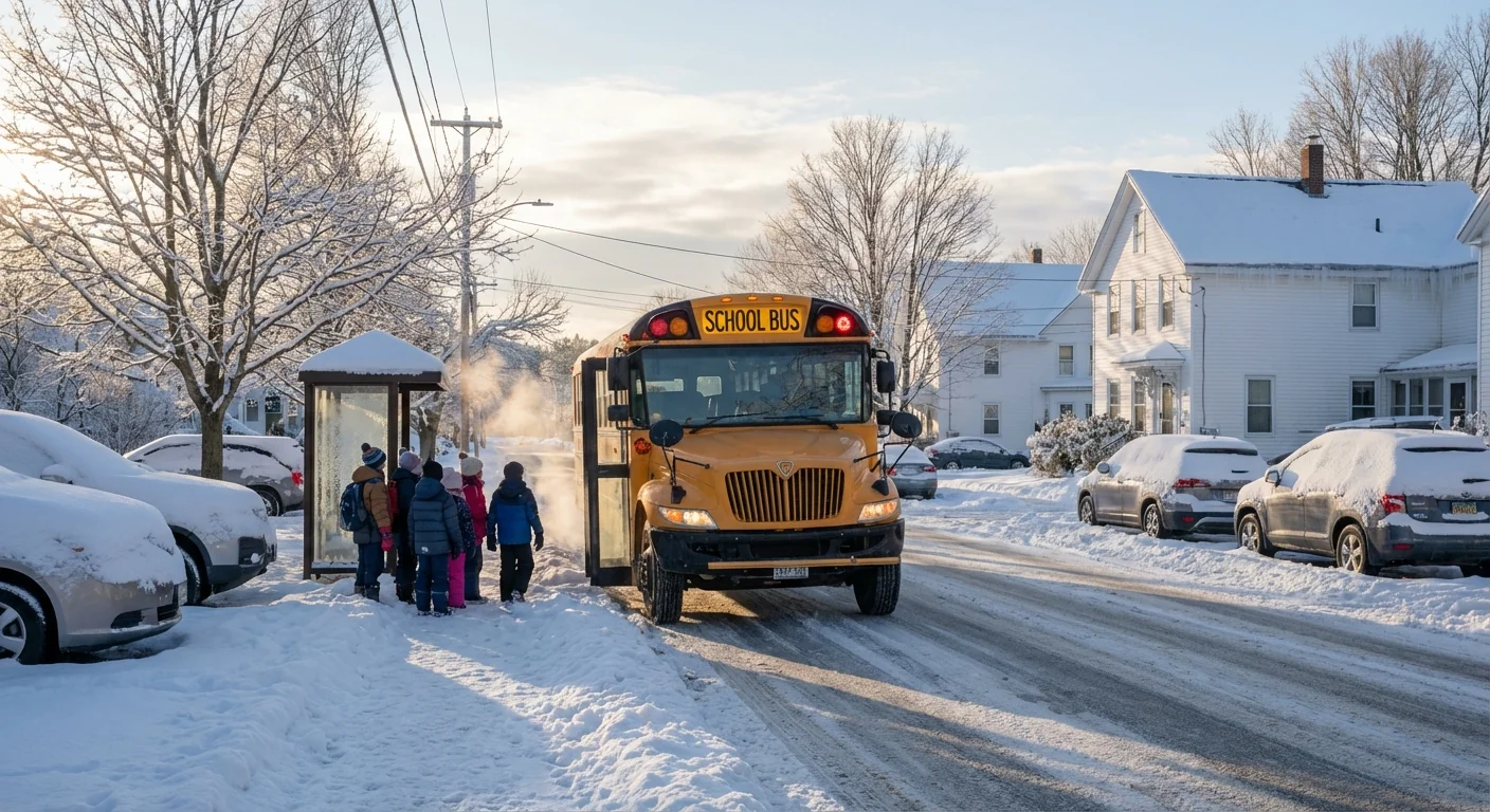
Bands of snow and mixed precipitation are pushing east in waves. The steep temperature gradient means one town gets fluffy snow while the next town sees a glaze of ice. That sharp change is the key hazard today. It turns routine bus routes and early commutes into a high-risk window.
Interior New England and parts of Upstate New York are seeing solid accumulation. The Mid-Atlantic is riding the edge of the freeze line. That has led to many staggered starts, especially around Washington and Baltimore. Urban districts with treated main roads have tried adjusted schedules. Rural and suburban districts, with longer and hillier routes, leaned toward closures.
Why leaders call closures and delays
The decision happens before dawn, and it is data driven. Superintendents, road crews, and emergency managers compare pavement temperatures, plow progress, radar, and the expected timing of a changeover from snow to sleet. The aim is simple, keep students and workers off the road during the worst hour.
Two-hour delays buy time for salt to work and plows to clear secondary roads. Closures come when ice is expected to linger or when a quick burst of heavy snow hits during bus runs. Remote learning and telework are now standard backup plans. Districts and agencies push updates through text and email alerts, automated calls, and website banners. For many families, those alerts will hit again around lunchtime as the second wave of the storm builds to the east.
Enable text and app alerts from your school district, employer, and local emergency office. Check again 30 minutes before you leave.
The climate signal inside this storm
This is an early season system with a warm ocean feed and cold air draining from Canada. The added moisture boosts snowfall rates where the air stays below freezing. Near the freeze line, the warmer atmosphere aloft turns flakes to sleet or freezing rain before they hit the ground. That mix zone has stretched across several states today.
Climate studies show mixed winter events are becoming more common in many eastern regions. Warmer background air supports more freezing rain and sleet near storms, not only snow. That means more mornings like this, with slick side streets even when highways look wet. It also means more salt use, more strain on stormwater, and more pressure on school and work schedules to stay flexible.
How to prepare and stay informed
Keep your plan simple. Treat this morning and the next commute window like a rolling hazard period. If your area delayed, expect changing conditions through the afternoon as temperatures wobble near freezing. If you must drive, slow down early, leave long gaps, and avoid sharp turns on untreated roads.
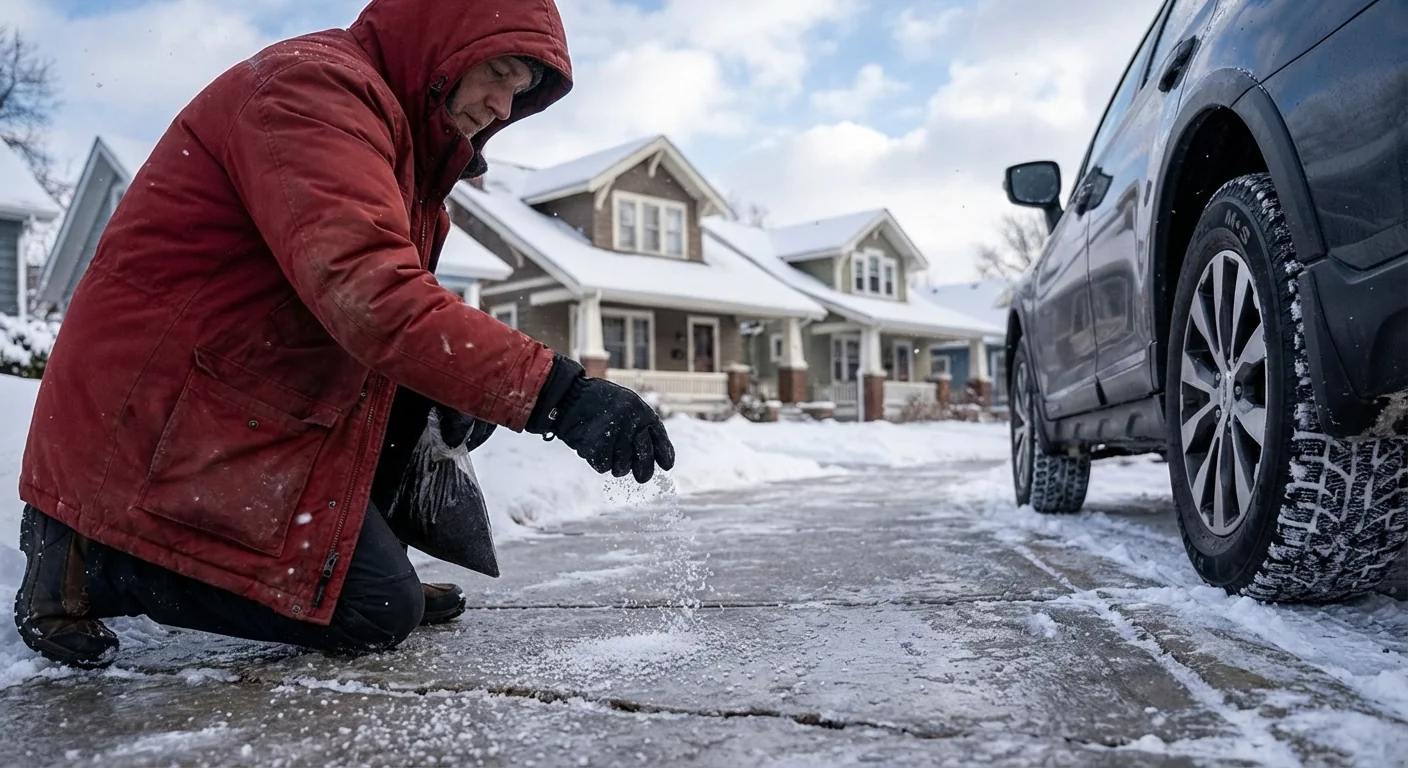
- Clear steps and sidewalks early, then recheck for refreeze.
- Use small amounts of salt or sand on trouble spots, not full coverage.
- Keep devices charged for alerts and e-learning.
- If you have winter tires, now is the time to use them.
Black ice forms fastest on bridges, overpasses, and shaded neighborhood roads. If a road looks wet and glossy, assume it is ice.
Sustainability decisions, made in minutes
Today’s closures and delays are also environmental choices. Well-timed delays reduce crashes and prevent overuse of salt. Many road crews now pre-treat with brine, which uses less salt and works faster. Calibrated spreaders also cut waste. Schools that flip to e-learning or stagger starts cut morning traffic, which lowers emissions and leaves room for plows.
Families can help. Shovel first, then use the least deicer that gets the job done. Sweep up leftover salt after the melt to keep it out of streams. Employers, keep telework options ready on marginal days like this. Small steps add up across a region.
Use brine or calcium magnesium acetate when possible. These options can reduce harm to pets, plants, and waterways compared with rock salt.


