BREAKING NOW: Winter Weather Advisories Blanket Parts of the Northeast
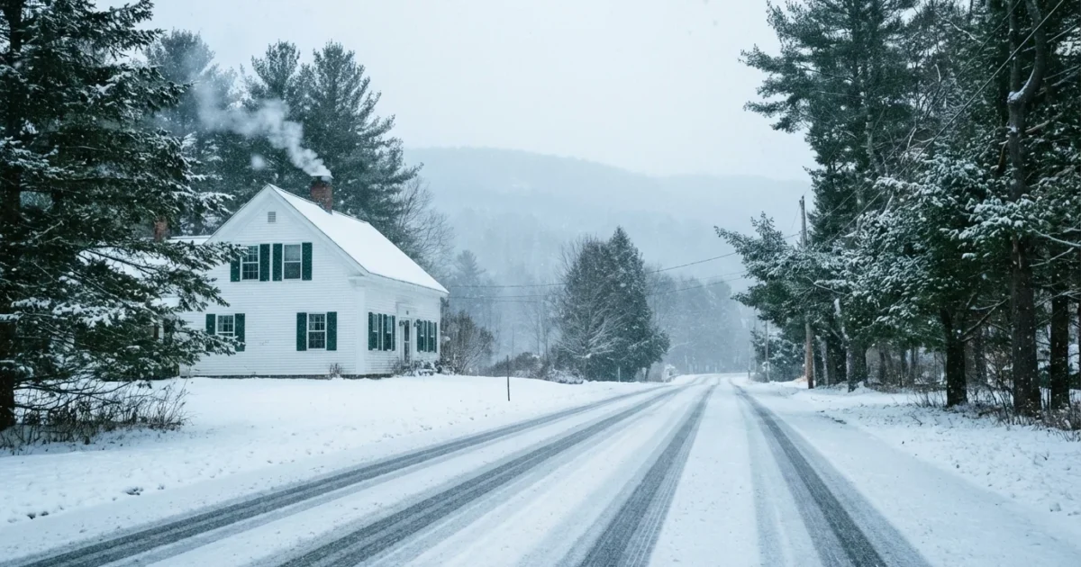
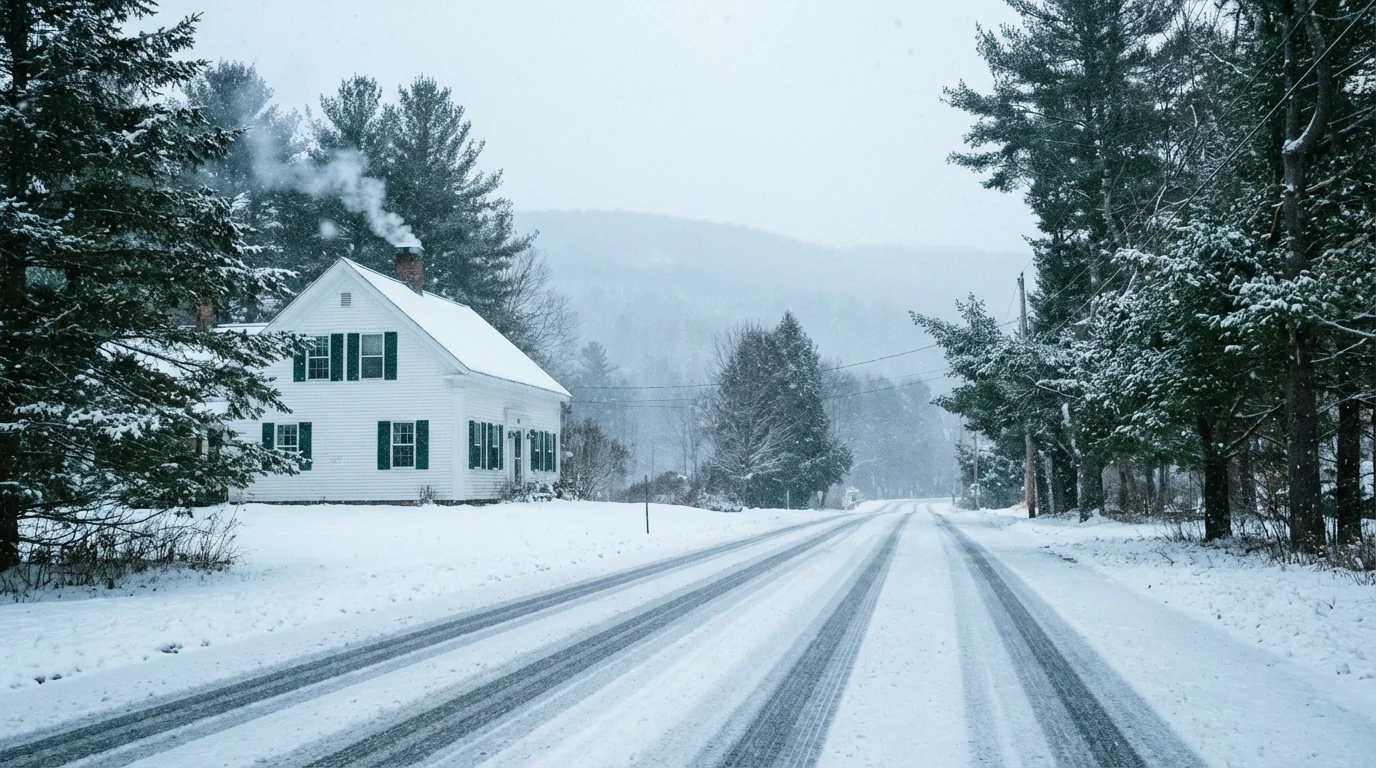
Snow returns to the Northeast this weekend, and I am tracking it hour by hour. Winter Weather Advisories are now in effect across parts of Massachusetts and Pennsylvania ahead of a Sunday hit of snow. Timing lines up from early Sunday morning through Sunday evening. Road conditions will slide fast as snow bands build. Expect reduced visibility, slick pavement, and delays.
Advisories include five Massachusetts counties, including Worcester, Middlesex, Essex, Hampshire, and Franklin. In Pennsylvania, Schuylkill County is under an advisory for early Sunday. Guidance is also tightening for York and Adams counties, where totals look lower but still travel worthy.
What These Advisories Mean
An advisory signals light to moderate snow that can still cause problems. It does not take much to turn bridges and untreated roads icy. Wet snow will be part of this, especially near the coast and valleys where temperatures ride near freezing. Winds look modest, 10 to 20 miles per hour, with higher gusts on exposed hills. That can blow snow across open roadways and cut visibility during the heaviest bursts.
If you must drive Sunday, slow down, leave extra space, and watch for black ice on ramps and bridges.
Timing and Totals by Area
Massachusetts, inland and north
Snow starts before dawn Sunday, peaks late morning into mid afternoon, then tapers in the evening. Expect 2 to 4 inches for most of Worcester, Middlesex, and Essex counties. Higher hills in Hampshire and Franklin counties could see 3 to 6 inches. Coastal communities may see more mixing, which can cap totals to 1 to 3 inches.
Pennsylvania, east central
Schuylkill County faces a quick hitting burst early Sunday. Plan on 2 to 5 inches, highest on the ridges. Roads will turn slick during the morning push, with improving conditions by evening as the snow eases.
Pennsylvania, south central
York and Adams counties sit near the rain snow line. Current signals point to 1 to 3 inches, with slush more likely on lower roads. Totals jump on higher ground west and north of the cities. Precipitation winds down Sunday evening.
Why This Storm Fits a Warming World
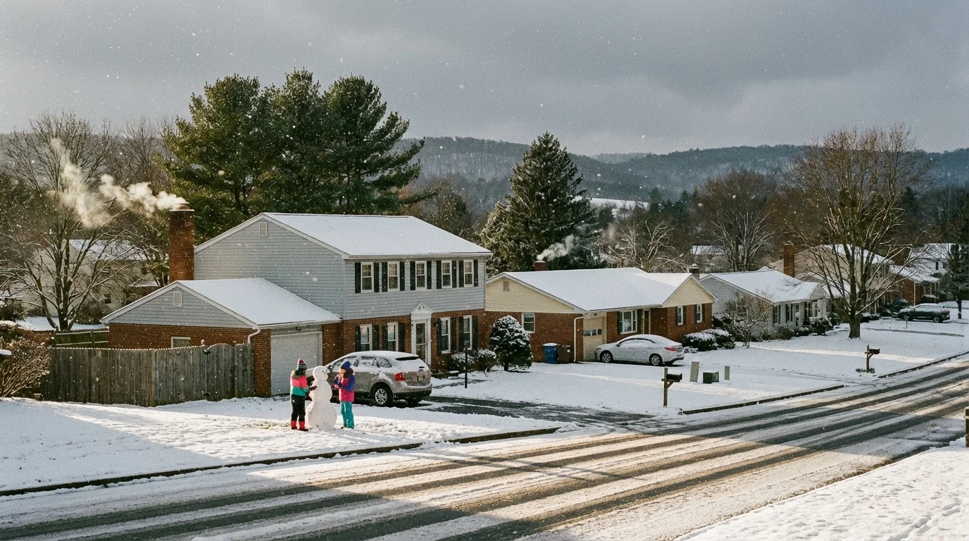
This setup shows how a warming climate changes winter weather. Warmer air holds more moisture, so storms can wring out heavier snow in short bursts. At the same time, the freezing line is creeping north. That means sharp gradients over short distances. One town can get a slushy inch while the next ridge gets five. We also see wetter snow more often. That increases the weight on trees and lines, even in modest events, and it raises outage risk when winds pick up.
These swings are becoming the new normal. Fewer snow days in some years, but the storms that do hit can be intense. Planning around that, from road treatment to transit schedules, helps reduce emissions and keep communities safer.
Travel and Sustainability Guide
Get ready now. A few simple steps will make Sunday smoother and safer, and they can cut your environmental footprint.
- Pack a car kit with a scraper, small shovel, warm layers, snacks, water, and a flashlight.
- Use eco friendlier deicers like calcium magnesium acetate. Sand can help with traction.
- Shovel first to remove as much snow as possible.
- Scatter a light layer of salt only where needed.
- Keep salt off lawns and drains to protect streams.
- Sweep up leftover salt after the storm.
Keep an eye on local updates. Check your local National Weather Service office for hourly forecasts and advisories. Use your state 511 site or app for road conditions. Follow county alert systems for closures. If you heat with gas or oil, clear outside vents to prevent carbon monoxide buildup.
Charge your phone, top off your tank or battery, and set alerts from your county and school district before you go to bed.
The Bottom Line
Snow arrives Sunday and brings a quick but messy day across parts of Massachusetts and Pennsylvania. Plan for slower travel, keep plans flexible, and treat this as a high impact, low to moderate total event. Check NWS, your state DOT, and county alerts for real time updates. Stay safe, stay patient, and keep it sustainable.


