Brace for a biting wind, Alabama. A sharp surge of Arctic air is racing in this weekend, and I am tracking a broad Wind Advisory now expanding across the state. Gusts will be strong enough to rattle porch furniture, bend tree limbs, and make driving a challenge. The cold behind this front will add real risk, especially after dark.
What is happening now
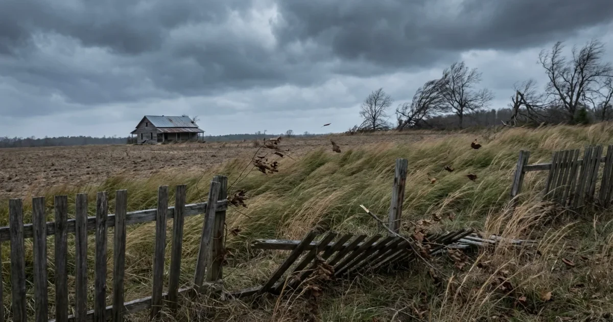
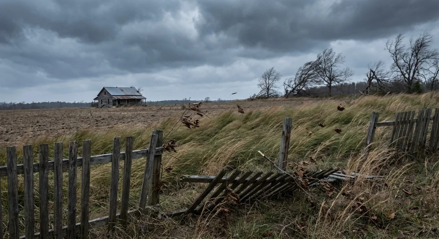
A tightening pressure gradient is building across Alabama as the cold front dives south. That is the simple reason the wind will roar. Many areas will see sustained winds in the 20s, with gusts that could hit 30 to 45 miles per hour at times. That is enough for isolated limb breaks, spotty power outages, and blowing debris. Wind chills will drop fast once the sun goes down.
Southeast Alabama faces the core of the advisory on Saturday. The Wiregrass stays windy into Sunday morning. West Alabama carries the double punch, strong gusts and extreme cold alerts, as the Arctic air settles in overnight.
Who is in the path and when
Expect the earliest surge of wind across West Alabama this afternoon and evening. The front then sweeps into Central and Southeast Alabama tonight. By Saturday, the strongest gusts focus from the Chattahoochee Valley to the Florida line. The Wiregrass could hold 30 to 40 mile per hour gusts into early Sunday. Bridges and overpasses will be extra gusty, so plan for a steady grip on the wheel.
High profile vehicles, like trucks and vans, will feel the push on east to west routes. Loose items and holiday decor should be secured before nightfall. If you live near open fields or higher ridges, your gusts will run a little stronger.
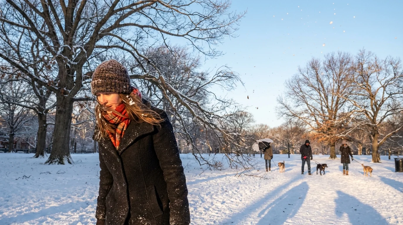
Wind chills will drop into dangerous territory after sunset. Limit time outside, cover skin, and check on neighbors.
Why the winds are this strong
Think of the atmosphere like a hill. Air rolls from higher pressure to lower pressure. The steeper the hill, the faster the wind. A strong high is building over the Plains while low pressure exits the Southeast coast. That steep pressure change squeezes Alabama in between, which is why the wind will peak as the front passes.
This cold blast fits a larger climate story. The planet is warming, yet we still get harsh cold shots. A warming Arctic can disrupt the jet stream at times. That wobble can allow quick southbound bursts of polar air. The long term trend remains warmer overall, but weather still swings. When the jet dips, our winds crank, and our wind chills bite.
How to prepare and stay safe
Small steps now will protect your home and community. Tie down trash bins, patio chairs, and trampolines. Park away from large trees if you can. Fully charge phones and battery packs before evening. If you rely on medical devices, confirm backup power plans.
- Bring in or secure loose outdoor items.
- Delay burning or outdoor grilling in gusty periods.
- Use extra caution on bridges, overpasses, and rural two-lanes.
- Prepare for brief outages with flashlights, not candles.
Layer up, even for quick trips. A windproof outer layer turns a raw night into a manageable one.
If you use a generator, run it outside, well away from doors and vents. Never heat with a stove or grill. Space heaters need a clear three foot zone and a stable plug, not a power strip. Pets feel the wind chill too, so bring them in early.
Save energy and cut peak demand. Lower the thermostat a couple of degrees, close drafts, and run major appliances in off hours.
Climate, forests, and resilience
Strong wind on frozen or stressed trees can add to limb loss. In neighborhoods with older oaks and pines, recent drought and heat have weakened some wood. That increases the odds of scattered outages during gusts like these. Long term, communities can plant a mix of native, wind firm species and manage urban canopies with regular pruning. Smarter grid upgrades, like sectionalizing lines and using underground runs in key corridors, also cut outage time after wind events.
What happens next
The worst wind arrives with and behind the front, then eases late Sunday from west to east. The cold lingers into early next week, with crisp mornings and clear nights. Roads stay dry for most, but black ice can form near bridges after any brief showers. Keep checking official county alerts for exact timing, since local gusts will vary by terrain.
This is a classic winter setup, fast, sharp, and noisy. Secure the basics, respect the wind, and look out for each other. Alabama knows how to handle a cold snap, and a few smart moves today will make the weekend safer for everyone.


