A fast building winter storm is zeroing in on the Philadelphia region. Snow arrives this weekend, with pockets of ice and a hard freeze behind it. Travel will turn tricky. Power lines and tree limbs will be stressed. This is a sharp, short hit of winter, then a deep chill. ❄️
Storm at the doorstep
I am tracking a compact low pressure system racing out of the Tennessee Valley, then redeveloping near the Mid Atlantic coast. That handoff will pull Atlantic moisture into cold air over Pennsylvania. The result is a quick burst of heavy snow for many, and a wintry mix along and southeast of I-95. The exact rain snow line still wobbles, but the setup favors snow for the city at the start.
Snow pushes in from southwest to northeast Saturday afternoon. It intensifies after sunset. The worst travel window looks like Saturday evening into early Sunday, when snowfall rates can briefly top an inch per hour. By late Sunday morning, the storm pulls away. Skies clear, winds pick up, and temperatures plunge.

Who gets snow and when
Center City, West Philly, and South Philly start as snow late afternoon. The city could flip to a brief sleet or freezing rain mix overnight if warmer air noses in aloft. Streets will ice fast where plows have not passed. Expect a messy, crusty layer by daybreak Sunday, then a refreeze at night.
North and west suburbs, like Montgomery, Bucks, Chester, and Delaware Counties, stay colder. These areas look favored for the most pure snow. Bursts of heavy flakes are likely Saturday night. Elevated neighborhoods from Roxborough to Chestnut Hill can hold snow longer, with slick hills and side streets into Sunday.
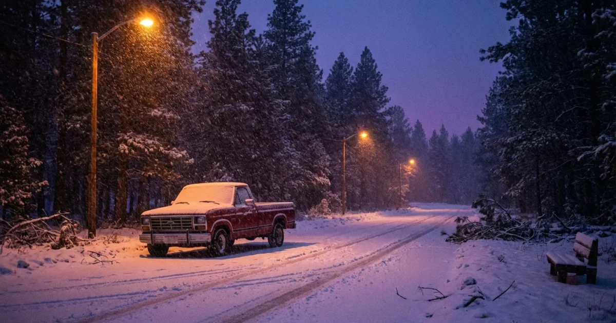
Lehigh Valley and the Poconos sit in the coldest air. Snow dominates here with light, powdery texture. Blowing and drifting will reduce visibility as winds increase on Sunday. Wind chills will bite.
South Jersey and northern Delaware ride the sharp edge. Camden and Gloucester may swing from snow to sleet, then back to snow as the storm exits. Farther south toward Atlantic and Cape May, a change to rain is possible. Any rain will freeze quickly Sunday evening.
As the storm pulls away, a surge of Arctic air drops wind chills into the single digits and below zero in the higher terrain Sunday night. Any slush will become concrete. Plan for a hard refreeze on untreated surfaces.
Black ice will form rapidly Saturday night into Sunday morning. If it looks wet, assume it is ice.
Why this storm is packing a punch
Two forces meet over our region. A shot of cold, dense air has slipped in from the north. At the same time, the ocean is feeding the storm with moisture. Warmer coastal waters store more heat and vapor, which storms can wring out as heavy snow when surface air stays below freezing.
Our winters are warming over the long term. That shifts more events toward mixed precipitation near big cities, where pavement and urban heat matter. It also means stronger moisture streams when storms do form. The result is what we are seeing now, sharp gradients over short distances. A few miles can decide who gets dry powder, who gets slushy mess, and who gets a glaze that knocks out power.
Staying safe and sustainable
Crews are pre-treating major routes with brine. Plows will stage near key interchanges and hospital zones. Salt is useful, but it drains into rivers and harms aquatic life. We can keep streets safe and protect water by using only what we need, and by clearing snow early.

- Park off emergency routes, clear sidewalks early, and go easy on salt
- Keep storm drains open to reduce ice and street flooding
- Delay nonessential travel during the peak Saturday evening period
- Lower your thermostat a few degrees during peak grid hours to ease strain
Charge phones and backup batteries now. Fill your gas tank or charge your EV. Check on older neighbors and anyone without reliable heat.
A coffee cup of salt covers a sidewalk. More does not melt faster. Use sand or kitty litter for grip on ice.
If you must drive, keep blankets, water, a scraper, and a small shovel in your car. Plan for sudden whiteouts and drifting on open stretches. SEPTA and regional rail may run with delays. Expect slower service as crews keep switches and platforms clear.
What comes next
The storm exits Sunday, but the cold deepens Sunday night. Refreeze is the top risk into Monday morning. Quiet weather returns early week, with sunshine but a stubborn chill. I will track the next system and the temperature trend as the pattern reloads.
Stay with me through the weekend. I will update timing and precipitation type as the rain snow line moves. Keep alerts on, and check official warnings. Keep your space warm, your pace slow, and your footprint light. This is a winter shot with a climate edge. We can ride it out safely, together.


