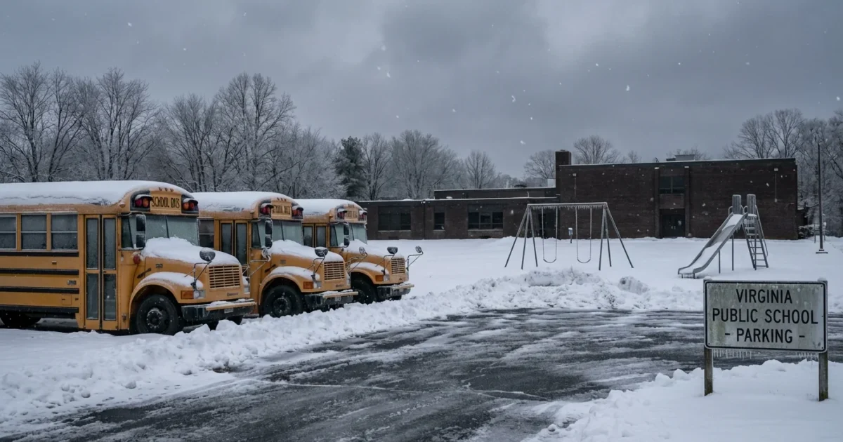
BREAKING: Snow and ice shut down schools across Virginia today. Districts from the Blue Ridge to Tidewater have pulled buses, closed buildings, and shifted plans as a fast-moving winter storm builds in. I am tracking closures, the science behind the setup, and what families should do next.
What’s closed, and why it matters
A Winter Weather Advisory is in effect today for parts of Virginia, including Charlottesville and Albemarle, from 5 a.m. to 5 p.m. Snow totals of 1 to 3 inches are likely. Up to 4 inches are possible along the Blue Ridge. That is enough to glaze secondary roads and hills. It also creates risk on early bus routes and afternoon activity runs.
I can confirm these school divisions closed or delayed today because of hazardous travel:
- Augusta County Schools
- Rockbridge County Schools
- Staunton City Schools
- Waynesboro City Schools
- Williamsburg-James City County Public Schools
WJCC is fully closed. There is no remote learning today. All activities and professional development are canceled. Several districts in central and southwestern Virginia expect 2 to 3 inches. That will slow plows and cause scattered outages. In southeast Virginia and across the border into northeast North Carolina, early dismissals and cancellations are also in play as bands shift east.
Road conditions will worsen where snow bands line up on untreated surfaces. Expect slick bridges, shaded curves, and black ice near sunset.
Decisions can change as the storm evolves. Keep your alerts on, since an advisory can upgrade quickly if bands stall.
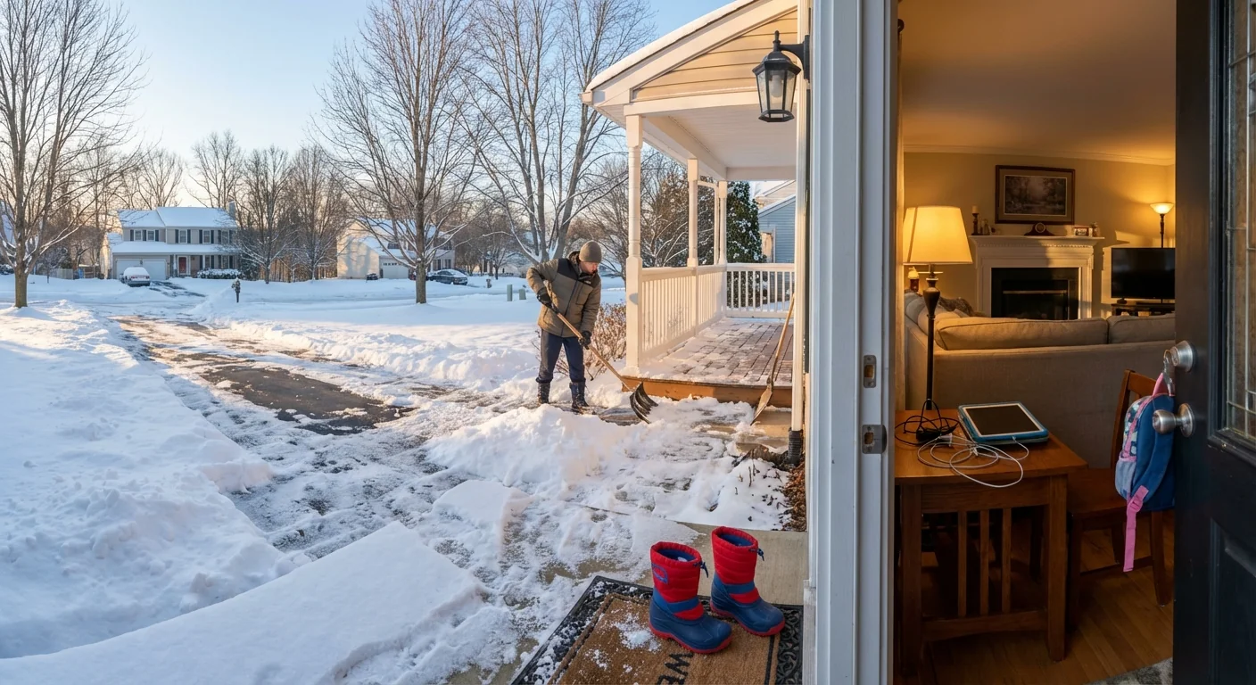
What parents and caregivers should do right now
This is a practical day. Safety comes first. Instruction can adapt. Your plan should be simple and flexible.
- Check your district’s direct alerts, then your school’s email and social channels.
- Arrange childcare or a neighbor swap if your student is home and you must work.
- If your student has devices, plug them in and gather logins, even if remote is not expected.
- Clear steps and porches early to prevent ice. Keep salt use light and focused.
Save a 30-minute window before first class time to download assignments. School platforms can get overloaded when everyone logs in at once.
Buses may not roll on steep routes, even if a district opens late. High school activities and practices are likely canceled. Grab-and-go meals may still be available at select sites. Check those times before driving.
The weather setup, and the climate signal
This is the second snow event of the season for many in the state. Cold air has slipped south from the Great Lakes. A quick-moving wave is pulling in Gulf moisture. The overlap is brief, but it is enough to produce a broad shield of light to moderate snow.
Warmer oceans and a warmer atmosphere hold more moisture. That can feed heavier bursts of snow when the air over us is cold enough. Climate change also increases winter whiplash, the flip between mild spells and short, sharp freezes. That volatility makes planning harder for schools, road crews, and families.
Use less road salt when you can. Extra salt runs into streams and hurts aquatic life. Shovel early, sand for traction, then spot treat icy patches.
What comes next
Snow tapers from west to east through the day. Plows will improve main roads first. Many side streets stay slick into the evening, especially in the Shenandoah Valley and Blue Ridge foothills. Watch for a refreeze tonight as skies clear.
Districts will review roads before dawn on Tuesday. Some could keep a delay to let sun and crews work. Activities and exams may shift this week. Expect makeup days later in winter, or a move to remote or hybrid plans where policy allows.


