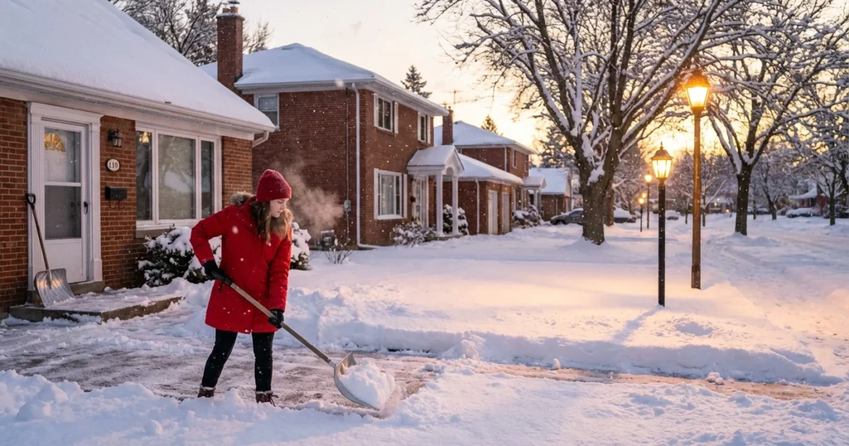
BREAKING: Snow totals are surging as a powerful winter storm spreads across the Mid-Atlantic and Northeast. I am tracking heavy snow, pockets of icing, and sharp gradients that will make your street look different from the next town over. Western Pennsylvania sits under winter storm warnings with plowable snow stacking up. The Philadelphia region is battling a messy mix, where a small shift in temperature flips rain to ice to snow in minutes. Travel will be tough. Power outages are possible. Plan now.
Where the snow is piling up
The storm is leaning on cold air west and north, and pushing milder air near the coast. That means heavy, steady snow in parts of Western Pennsylvania. It also means a tug of war between snow and ice across the Philly area. In narrow zones, snow rates are intense. Totals can jump quickly when one of these bands parks overhead.
I am watching the rain and snow line wobble near major highways and rivers. Just ten miles can mean the difference between a slushy coating and a heavy shovel job. Expect the biggest numbers where cold air holds at the surface and winds feed moisture into the same neighborhoods for hours.
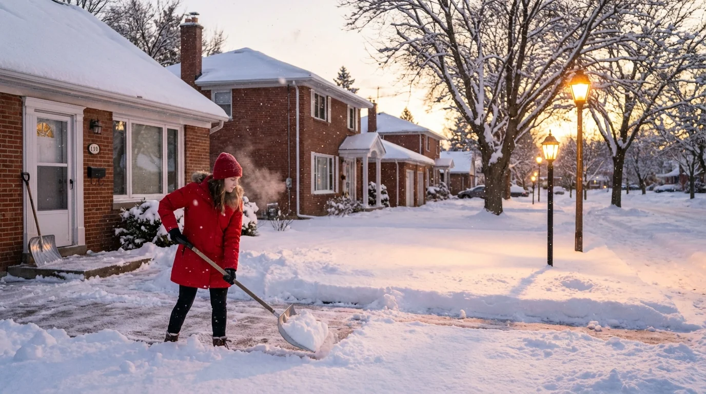
Roads will ice fast this evening as temperatures dip. Expect sudden whiteouts under heavier bands, downed tree limbs on saturated soils, and flight delays. If you must travel, build extra time and carry winter gear.
Why your total keeps changing
Forecasts are shifting because the storm is still evolving. The low pressure center is deepening, and that changes wind direction and temperature hour by hour. When winds turn slightly, the rain and snow line moves. When the atmosphere lifts faster, snow bands form and totals spike.
Snow type matters. Fluffy snow stacks higher because it has more air and less water. Wet snow is heavy and compacts under its own weight. Today many areas sit near freezing, which favors dense, heavy snow. That adds strain to branches and power lines, even with modest totals.
Another wild card is banding. Think of it like weather traffic jams. Air piles up, rises, and dumps snow in narrow streaks. These stripes can double totals in one suburb while a nearby town sees just a few inches. It is not random. It follows the storm’s internal structure. That is why I am updating totals in tight time windows.
Commuter guide to real-time tracking
You can read the storm from your block. Watch temperature, wind, and radar trends. If you are near 31 to 33 degrees, small shifts have big effects. Snow can flip to sleet fast. Side streets refreeze in minutes after sunset.
- Check your local alerts for new warnings and transit changes.
- Look at radar loops to spot pivoting bands that may stall.
- Note temperature at your location, not just the regional average.
- If snow turns to sleet, expect lower totals but higher icing risk.
🚌 Transit agencies are already issuing detours and delays. That is a smart move during icing and poor visibility. Work with the system, not against it. If you can telework or shift your hours, do it. If you must ride, allow buffer time, keep batteries charged, and expect reduced service as crews clear routes.
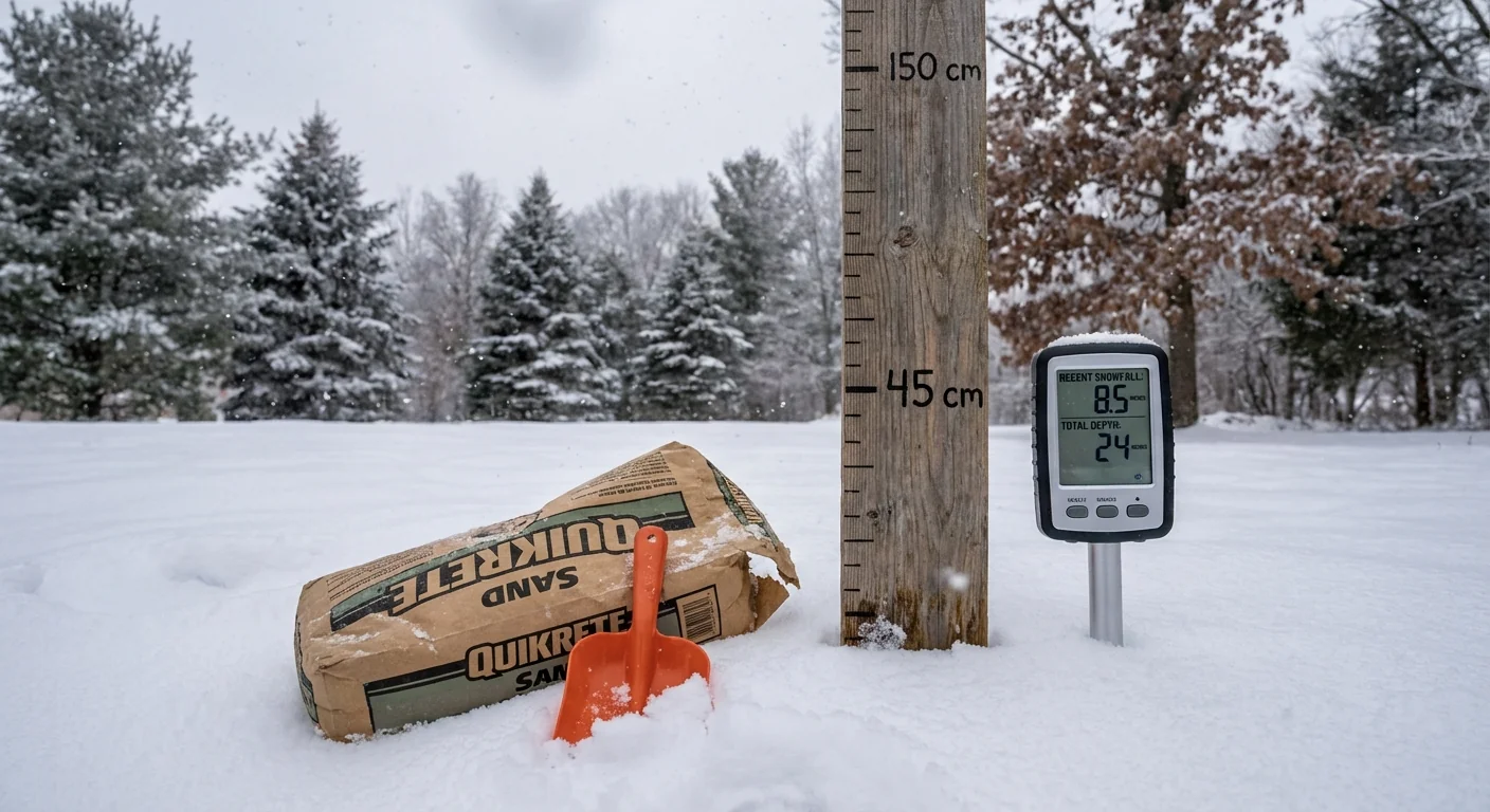
Measure snow on a flat, level board away from walls and trees. Brush the board every few hours for an accurate running total. Go easy on salt to protect waterways, use only what you need, and switch to sand for traction near trees.
The climate signal behind the snowfall
This is a classic near-freezing storm. A warmer atmosphere can hold more moisture. When that moisture meets cold air, the result can be very heavy snow. We see fewer long cold spells in many cities, but when conditions line up, storms squeeze out intense bursts. That matches what I am seeing today, short windows of rapid accumulation.
Warmer seas also feed coastal lows with extra energy and water. That boosts snowfall on the cold side and increases icing risk near the mix line. The infrastructure stress is real. Heavy, wet snow loads lines and trees, followed by a freeze that locks in damage. Climate resilience means better tree trimming, buried lines where possible, and smarter salting to protect streams.
What I am watching next
As the storm matures, bands may pivot and slow down. That would raise totals in a few corridors while cutting them downwind. Colder air will slide in tonight, turning slush into ice on untreated roads. Wind will pick up along the storm’s backside, which can break branches already weighed down.
I will update snow totals as bands form, fade, and shift. Expect uneven amounts across short distances. That is the defining feature of this storm. Measure where you are, and plan for the worst of the next three hours, not just the last three.
Conclusion: This storm rewards patience and smart choices. Track your local conditions, not just the big map. Respect the mix line. Protect your commute and your community with safer travel, lighter salt use, and steady check-ins with neighbors. Stay warm, stay alert, and I will keep you ahead of the next band. ❄️

