Breaking now: a massive winter storm is surging across the U.S. I am tracking a 1,300 mile swath of snow and ice in real time. Power outages are rising. Roads are closing. Thousands of flights are canceled. The storm is expanding and evolving by the hour. Your best tool tonight is a storm tracker, used the right way. Here is how to read it, and what it means for your safety.
A giant winter engine is rolling now
This system is drawing Gulf moisture into Arctic air. That mix is building heavy, wet snow and a dangerous glaze of ice. The storm’s core is spinning across the heartland, then lifting into the Midwest and Northeast. The outer edge is a shield of lighter snow. The inner edge is a tight band of intense snow that can stall over one region for hours.
Warmer air high above the ground is slipping over a shallow layer of surface cold. That is why some cities get snow, then sleet, then freezing rain, then back to snow. Small shifts in temperature matter. A two degree change can flip safe roads into ice.
How to read the storm tracker in real time
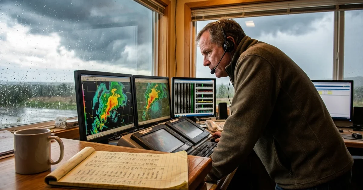
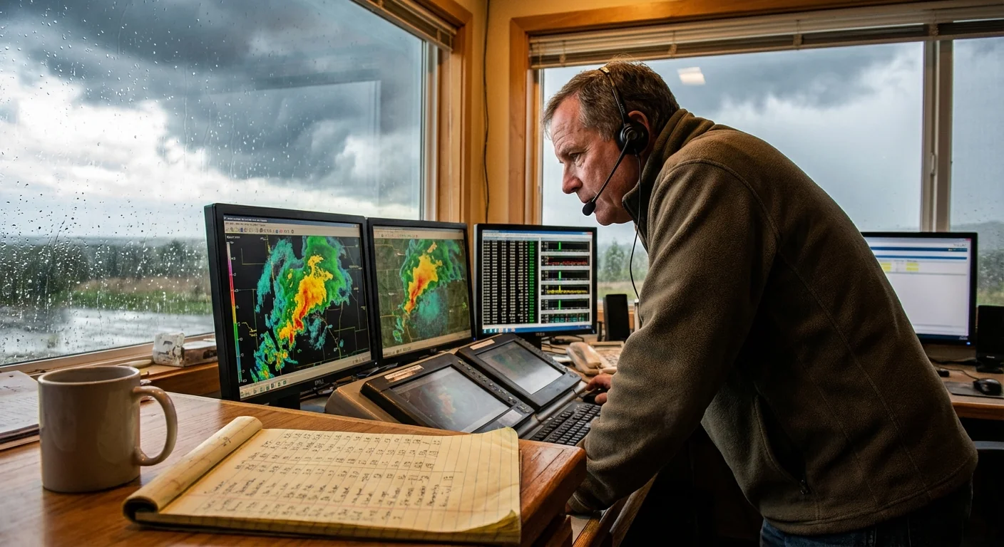
Open your radar layer first. Look for the classic comma shape. The head of the comma holds the heaviest snow. The tail often drags bands that pulse and fade. Many apps color snow in blue, mixed wintry precipitation in pink, and rain in green. The pink stripe is where sleet and freezing rain are most likely.
Zoom in on that stripe. If it sits over your route, delay your trip. Watch the movement over 30 to 60 minutes, not just a single frame. Looping shows speed, direction, and how fast bands rebuild.
Spot the mix line
The snow to ice line is sneaky. Bright, speckled radar returns can signal sleet. Smooth, steady returns with surface temps at or below 32 can point to freezing rain. Wind barbs and surface temps, if your app has them, add detail. Gusts near that line can drop ice coated limbs.
On radar, a narrow bright band near the pink zone often means sleet and icing. Plan around it for two to six hours.
Layer in alerts next. If your tracker lets you, overlay watches and warnings. That shows not just what is falling now, but what is expected to intensify overnight.
Alerts and what they mean for you
Winter alerts are simple once you know the categories.
- Winter Weather Advisory, travel will be slowed, use caution and extra time.
- Winter Storm Watch, conditions are likely soon, prepare and adjust plans.
- Winter Storm Warning, hazardous travel is expected, stay put if you can.
- Ice Storm Warning, damaging ice is likely, expect tree and power line problems.
- Blizzard Warning, severe wind with snow and whiteouts, travel can be life threatening.
Turn on notifications for your county. Phones pick up local bulletins fast. Road cameras from your state DOT can confirm what radar implies. If the camera shows glassy roads, radar colors do not matter. It is slick, period.
Avoid nonessential travel on ice glazed roads. A thin glaze can defeat even four wheel drive.
Air travel is severely disrupted. Use your airline app for rebooking. Do not go to the airport without a confirmed seat. You will save time, money, and stress.
Travel, power, and sustainability choices right now
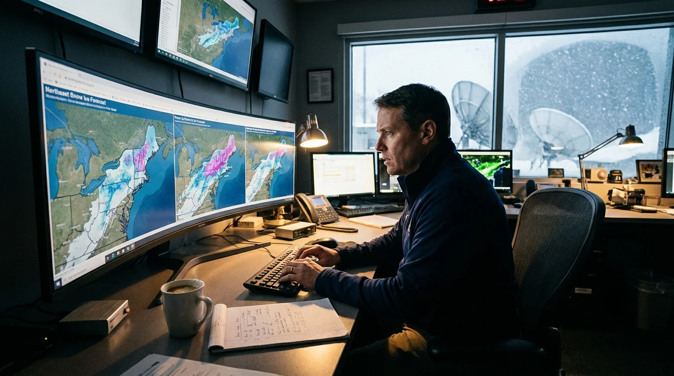
Heaviest snow and ice areas will stress the grid. Wet snow and ice add weight to branches and lines. If the forecast map shows your town near the ice maximum, prepare to be without power. Charge devices. Fill water jugs. Set freezers to colder settings to buy time.
Forecast maps tonight highlight where the storm stalls. That is where snow totals jump and ice thickens. If your tracker offers hourly projections, check the freezing line every three hours. A small nudge can change everything for the morning commute. ❄️
Lower your energy use if you can. Drop your thermostat by two degrees to reduce grid load. Delay laundry and dishwashers until off peak hours. Close curtains to hold heat. These small steps help when thousands of homes need power at once.
Never run generators indoors. Keep them outside, away from windows. If you use space heaters, plug them directly into the wall, not a power strip.
If you lose power, close off one room, wear layers, and check on neighbors who may need help.
The next 24 hours
The storm moves east tonight, but the mix line will wobble. Expect wraparound snow on the backside and bursts of wind. Visibility can drop in seconds under these bands. Tomorrow morning may start quieter, then worsen again as the low deepens.
Use this quick plan:
- Check your storm tracker every few hours. Watch the loop, not just a still image.
- Monitor alerts for your county, plus state road reports and outage maps.
- Adjust early. Reroute, reschedule, or shelter in place until conditions improve.
This storm is a real time test of awareness. Warmer air in a changing climate holds more moisture, so winter storms can be wetter and more intense. That means heavier snow and more ice risk for the same path. Stay alert, stay flexible, and use your tracker with purpose. I am monitoring the radar and alerts throughout the night. I will update as the storm shifts. Knowledge, and a few smart choices, can keep you safe.


