BREAKING: Tornado Watch Issued for Georgia as Severe Storms Target the State
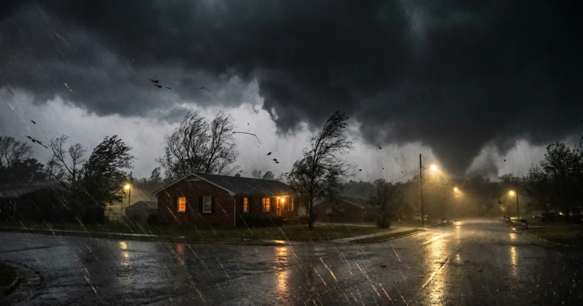
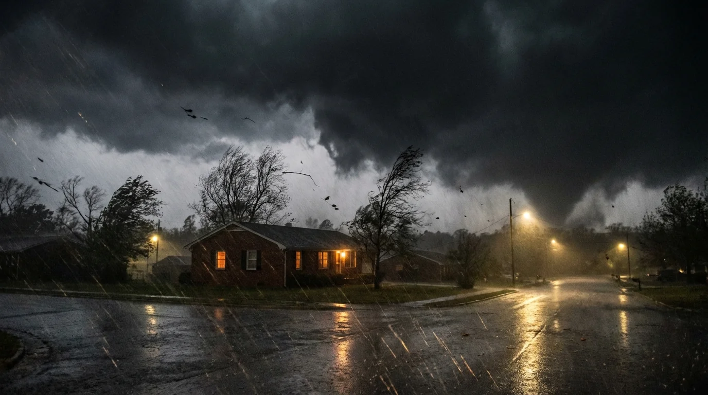
A fast moving storm system is pushing into Georgia today. I am tracking dangerous storms building to our west and racing east. A tornado watch is now in effect for parts of the state. A flood watch also includes metro Atlanta, with heavy rain likely. This is a double threat, tornadoes and flash flooding, with the worst risk this afternoon and tonight. Stay alert.
Tornado and Flood Watches: What They Mean
A tornado watch means the atmosphere is primed for tornadoes. Thunderstorms can quickly spin, so be ready to move to shelter if a warning is issued. A flood watch means heavy rain can cause rapid rises in creeks, streets, and streams. Flash flooding can happen with little notice, especially in low spots and underpasses.
Expect storms to move west to east. Western Georgia sees the first round. Metro Atlanta faces severe weather as the line marches in later, then central and eastern counties into the night. Nighttime storms are more dangerous. Many people are asleep, and tornadoes are often wrapped in rain.
The Setup and Why This Is Dangerous
This system already produced tornadoes in Mississippi. The same energy is now feeding on warm, humid Gulf air over Georgia. Winds change direction and speed with height, a classic recipe for rotating storms. Ahead of the main line, a few discrete cells may turn severe quickly. Then a squall line forms, with pockets of damaging wind and brief tornadoes that can spin up with little warning. Torrential rain falls in bands that train over the same areas, increasing flood risk.
Climate science points to a clear backdrop. A warmer atmosphere holds more water vapor, which boosts rainfall rates in intense storms. The Gulf of Mexico is warmer than in past decades, adding fuel and moisture. The Southeast is seeing more cool season severe weather and more high end downpours. That is why today’s flooding risk deserves the same attention as the tornado threat.
Keep phones charged and on loud tonight. Wireless emergency alerts and NOAA Weather Radio can wake you up if a warning is issued while you sleep.
Threat Breakdown: What To Expect and Where
Tornadoes are possible in any storm that becomes intense and isolated. In the main line, brief tornadoes can form along kinks and bows in the line. Many will be rain wrapped, hard to see, and fast moving.
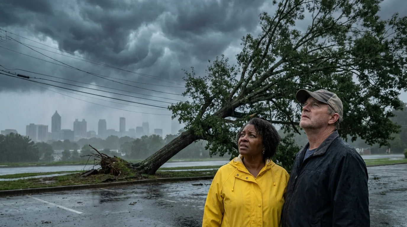
Damaging winds are likely in stronger storms. Saturated ground plus high gusts can bring trees down. That leads to power outages and blocked roads. Large hail is possible in the most intense cells before the line organizes. Flooding will threaten urban areas and small creeks. Repeated downpours can overwhelm storm drains in metro Atlanta. Avoid basements that take on water during heavy rain.
Prepare Now
You still have time to lower your risk before the worst arrives. Focus on simple, high impact steps.
- Identify your safest room, lowest floor, interior, no windows
- Charge phones, power banks, and keep shoes and helmets by the door
- Bring pets inside and park cars away from large trees
- Clear street drains and gutters to help water move off your block
- Secure outdoor items so they do not become projectiles
Have at least two ways to get alerts, NOAA Weather Radio, a trusted app, and local TV or radio. Keep a flashlight and extra batteries nearby. 📻
If a Warning Is Issued
Move fast. Every second matters.
- Go to your safe place, lowest interior room, small and windowless
- Cover your head and neck, helmets and thick blankets help
- Put on sturdy shoes, falling debris and broken glass are common
- Avoid windows, do not try to see the tornado
- In a car or mobile home, get into a sturdy building right away if you can
Never drive through flood water. Turn around. Most flood deaths happen in cars. Just one foot of moving water can sweep a vehicle away.
Safer Communities After the Storm
Severe weather is a climate risk Georgia will face more often. Stronger downpours stress storm drains and creeks. Cities can cut flood damage with green infrastructure, rain gardens, tree canopies, and permeable pavement. Homes can add rain barrels and back up sump pumps. Utilities can reduce outages with smarter tree trimming and targeted underground lines. You can help today by keeping your block’s drains clear and using LED flashlights instead of candles. If you use a generator, run it outside and away from windows to avoid deadly carbon monoxide.
We will keep tracking this volatile setup through the night. Keep your plan simple. Know your safe room. Keep alerts on. Respect flooded roads. This is a high impact storm day for Georgia. Stay ready, and act fast when warnings hit. ⚠️


