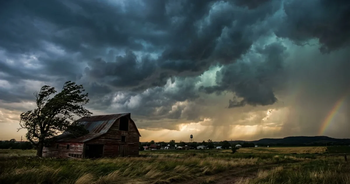
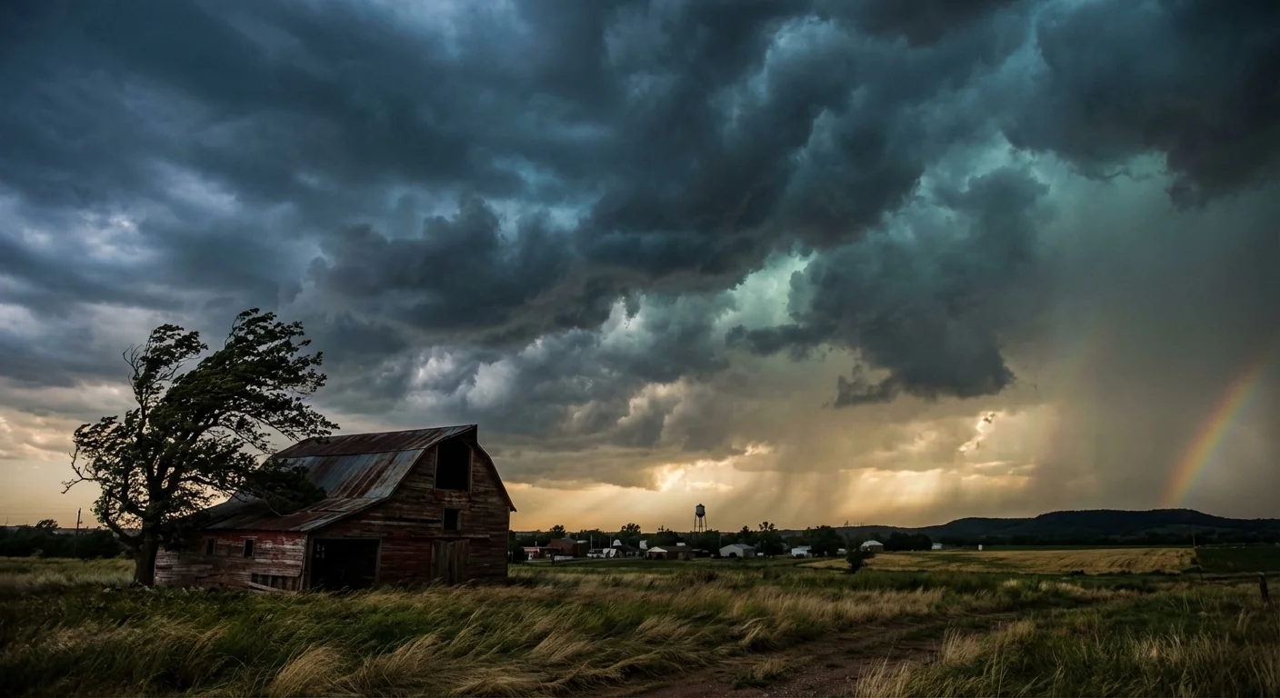
Purcell, Oklahoma is on edge tonight as severe storms fire along the I-35 corridor. I am tracking a fast, violent line racing through central Oklahoma. The setup is classic spring weather in winter. Warm, humid air has rushed north. Dry, cooler air is pushing in from the west. Where they collide, storms are exploding. Tornado warnings have been issued in parts of the state, and the atmosphere over McClain County is primed for rapid changes.
What’s hitting Purcell right now
Storms are towering west of town, then sweeping east into Purcell and Lexington. The main risks are large hail, damaging straight-line winds, and a quick tornado spin up near any storm that turns tight. Rain rates are high in the heaviest cores. That means brief flooding near low spots and along small creeks, especially near the Canadian River valley.
This burst arrived early in the season. Strong winds higher in the sky are feeding storm rotation. Warmth and moisture from the Gulf are fueling the updrafts. If a storm turns right and slows, it can tighten into a tornado with little warning. That is why warnings may feel sudden tonight. Keep alerts on and stay close to shelter.
Why this arrived early this year
We expect severe weather in spring. But this year, the ingredients gathered sooner. Winters here are trending warmer. That gives storms more access to warm, moist air. When a strong jet stream lines up over that air, it raises the risk for early season outbreaks. One or two warm days in a row do not prove climate change on their own. Still, the long-term trend favors more days with fuel for storms outside the old calendar window.
We are also seeing sharper flips between very warm and cooler air. Rapid swings stress the atmosphere. That can help storms grow fast, then become severe. This is not new for Oklahoma, but the timing and frequency are shifting. Communities like Purcell along I-35 feel those changes first, since many storm tracks ride that corridor.
What to do right now in Purcell and along I-35
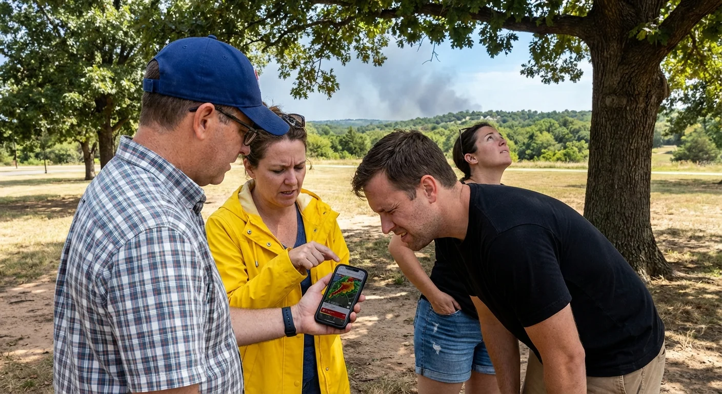
If you are in or near Purcell, act now. Do not wait for a siren. Have two ways to get alerts. Turn off silent mode on your phone. Charge devices and keep a flashlight ready.
If a tornado warning is issued for your location, shelter immediately. Go to a small, interior room on the lowest floor. Avoid windows. Cover your head with a helmet or thick cushions. Do not stay in a vehicle or under a bridge.
- Move vehicles inside or under sturdy cover if you can do it quickly.
- Bring pets indoors and keep carriers handy.
- Put on closed-toe shoes and keep photo ID in a pocket.
- Gather a go kit with water, meds, and a battery radio.
- If you live in a mobile home, plan now to reach a safer building.
Know your warning shapes. Watch means conditions are favorable. Warning means a storm is happening or imminent. NOAA Weather Radio and local alerts are the fastest ways to know your zone. If you see a polygon on a map, act only if you are inside it.
Power, water, and road safety
Power hits from wind and hail are likely as storms peak. Try to unplug sensitive gear. If you have home solar with a battery, make sure it is topped up and set to backup mode. After the line passes, watch for flooded lanes near the river valley and low crossings. Even a few inches of fast water can lift a small car.
Avoid the lowest spots near creeks that feed the Canadian River. Turn around at water over the road. Nighttime floods are hard to judge and often deeper than they appear.
Building long-term resilience starts with simple, local steps. After this event, consider:
- Trimming weak branches away from roofs and lines
- Installing a safe room or reinforced interior closet
- Adding rain gardens or permeable driveways to slow runoff
- Securing rooftop solar or generators to code for wind
What I am watching next
I am watching for storms to train along I-35, which could raise flood risk. A second push of wind behind the front may follow the first wave. That can bring more gusts and fresh power issues. Hail cores may pulse through the evening, then slowly weaken after midnight as the low moves east. If a storm anchors near Purcell, the tornado risk will climb fast. Keep helmets and shoes by your shelter spot until all warnings expire.
This is a serious night, but it is also manageable with clear steps. Stay weather aware, not scared. In Purcell, rapid action saves lives when storms move this fast. Keep alerts on, shelter early when told, and check on neighbors after the all clear. Our climate is shifting the goalposts, but our preparation can keep pace. We will update as conditions change. Stay safe, Purcell.


