BREAKING: Syracuse Locked in a Fierce Lake Effect Snow Burst, Whiteouts and Drifting Hit Morning Commute
Syracuse woke up inside a snow machine today. Bands off Lake Ontario locked onto the city before dawn, laying down fresh powder, cutting visibility, and turning the morning drive into a crawl. Temperatures hover near 20°F (−6°C), which keeps roads slick and salt slow to work. The setup favors quick changes. A quiet block can turn into a white wall in seconds.
The Situation Right Now
Light snow is steady across the city, with heavier pulses swinging through. A Lake Effect Snow Warning covers Onondaga, Madison, and southern Oneida Counties until 7:00 AM Friday. In the most persistent bands, snow can fall at 1 to 2 inches per hour. Total accumulation of 6 to 12 inches is on the table, with the highest amounts north and east of the city.
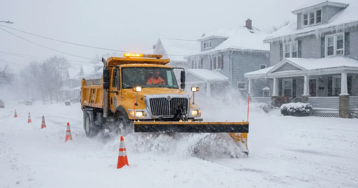
Winds are a problem on their own. Gusts near 40 mph are lifting snow into drifts and blowing it back over plowed lanes. That creates churned up surfaces and sudden whiteouts, especially in open areas and on north south roads. This is a dangerous combo for drivers and pedestrians. If you must travel, slow down, leave space, and watch for plow crews.
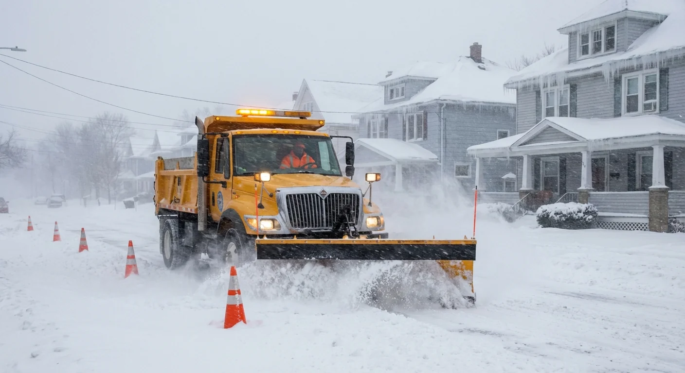
Whiteout means zero detail ahead, not just low clouds. If tail lights vanish, ease off, signal, and exit when safe. Do not stop in a travel lane.
How the Lake Effect Engine Turned On
Cold, dry air moved across the long, open stretch of Lake Ontario overnight. The lake is warmer than the air above it, so it fed heat and moisture into the flow. That rising, loaded air formed clouds, then snow. A steady west northwest wind lined up a long fetch over the lake, focusing bands like a fire hose.
As the bands moved inland, friction from the land, plus small hills, squeezed the flow and sharpened the snow. The Tug Hill Plateau amplified lift to the northeast, which is why areas toward Central Square and Camden often spike higher totals. Syracuse sits at the edge of that enhancement, so the band wobbles in and out. A five mile shift can mean a dusting on one side of town and a half foot on the other.
The most intense snow arrives in bursts as the band pivots. Expect these swings through the morning, with a gradual weakening as winds ease and the low level air dries a bit this afternoon. Temperatures may climb into the upper 20s, which helps plows gain ground, but slush will refreeze after sunset.
Local Impacts and Safety
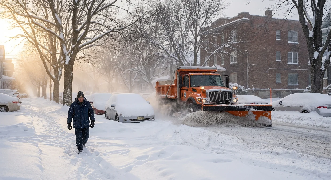
This event is classic lake effect, quick, localized, and disruptive. The morning commute was slowed by slick on ramps and reduced sight lines on higher bridges. Drifts are forming near open fields and across east west roads. Side streets remain rutted until plows can cycle through.
Power interruptions are possible where gusts hit tree limbs already loaded with snow, though widespread outages are not guaranteed. Keep devices charged, clear your furnace and dryer vents, and check on anyone who relies on electric medical equipment.
Clear storm drains and hydrants near your home. It helps firefighters and reduces street ponding during the next thaw.
Sustainable winter choices
Today’s response affects tomorrow’s water and soil. Rock salt works slowly at 20°F and below, so use less and focus on shoveling early and often. Sand can add grip without the chloride load. Keep piles out of waterways and away from storm drains. If you run a snowblower, avoid long idling and keep exhaust pointed away from doors and vents.
- Pack an emergency car kit, blanket, small shovel, traction grit, flashlight, phone charger, water, and snacks.
Climate Context, What Today Says About Tomorrow
Warmer Great Lakes hold more heat later into fall and early winter. When the first Arctic shots arrive, the lake to air contrast is larger. That fuels taller clouds and heavier snow bands, often with higher snowfall rates early in the season. We are seeing that play out today. Over time, as winters warm, the season of open lake water may shift, and more events cluster in the early winter window. Late season events could fade when earlier freeze up caps the lake. For now, Syracuse sits at the crossroads of cold air surges and warm lake water, which means more days like this when the wind lines up.
Conclusion
Syracuse is in the teeth of a classic lake effect burst, sharp, local, and fast changing. Expect more snow bursts, gusty winds, and tough travel through the day, with gradual improvement later. Keep safety first, help crews by clearing walks and hydrants, and choose smart winter habits that protect our water and soil. This is winter in a warming world, and today, the lake is writing the forecast. Stay alert, stay warm, and take it slow.


