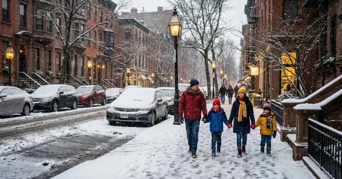
Snow is coming. I am tracking a fast, moisture rich winter storm that will slide in Saturday night and peak on Sunday. Measurable snow is likely across the Philadelphia region and much of south central Pennsylvania. The exact inches will depend on a narrow zone of sleet and freezing rain. That zone will wobble near the I‑95 corridor. Plan for plowable snow in many neighborhoods, then a bitter blast right behind it. ❄️
What to expect on Sunday
Snow breaks out from west to east Saturday evening. It turns steady overnight. The heaviest push targets pre dawn through late morning Sunday. Roads will slick up quickly during that window. Snow then eases to light snow or drizzle by afternoon, with lingering flurries at night.
Here is my latest accumulation outlook based on the current track and temperature profile:
- North and west suburbs, higher elevations, 4 to 8 inches, locally more in persistent bands.
- Philadelphia and the I‑95 corridor, 2 to 5 inches, lower if sleet mixes for several hours.
- South Jersey away from the coast and northern Delaware, 1 to 3 inches with a longer sleet window.
- Coastal zones, a coating to 2 inches before a change to rain or icy mix.
These ranges reflect the tug of cold air at the surface and a shallow warm layer aloft. If that warm layer noses farther inland, sleet will compress totals fast. If the cold holds stronger at the surface and aloft, the city spends more time in all snow and totals nudge higher.
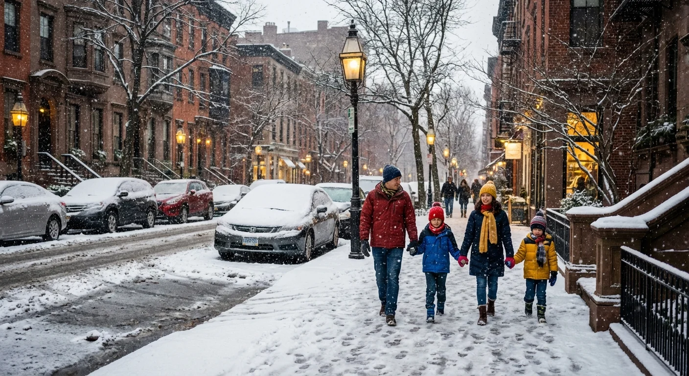
Travel will be hazardous early Sunday. Expect quick reductions in visibility, slushy highways, and icy side streets. Give plows and salt crews room to work.
Timing at a glance
Most spots start 7 to 11 pm Saturday. The peak intensity comes 3 to 10 am Sunday. Tapering begins late morning west, early afternoon east. Winds increase during and after the storm, with gusts 25 to 35 mph by evening.
Why the inches are hard to pin down
Small shifts in storm track make big changes on the ground. The storm pulls Atlantic moisture into air that is just cold enough for snow. A thin layer of above freezing air can slip in a few thousand feet up. That layer turns flakes to sleet before they hit the street. Sleet stacks up slower than snow. It also locks up like ball bearings, which makes roads worse even with lower totals.
The sharpest gradient sets up near the urban corridor. One neighborhood could see powder. Five miles away, pellets and glaze cut totals in half. Snow bands add another twist. If a narrow band parks over you for two hours, your yard can jump by several inches. If it misses, you stay closer to the low end.
The cold behind the storm
Once the system passes, Arctic air pours in. Temperatures fall through the 20s Sunday evening. Many will wake to teens on Monday. Wind chills dip to the single digits. Melted slush will refreeze after dark. Black ice will be an issue on untreated surfaces and bridge decks.
Power crews may deal with spotty outages where ice clings to lines and trees. Gusty winds will shake weakened limbs. If you lose heat, have layers and blankets ready. Limit use of space heaters to one wall outlet with clear space around it.
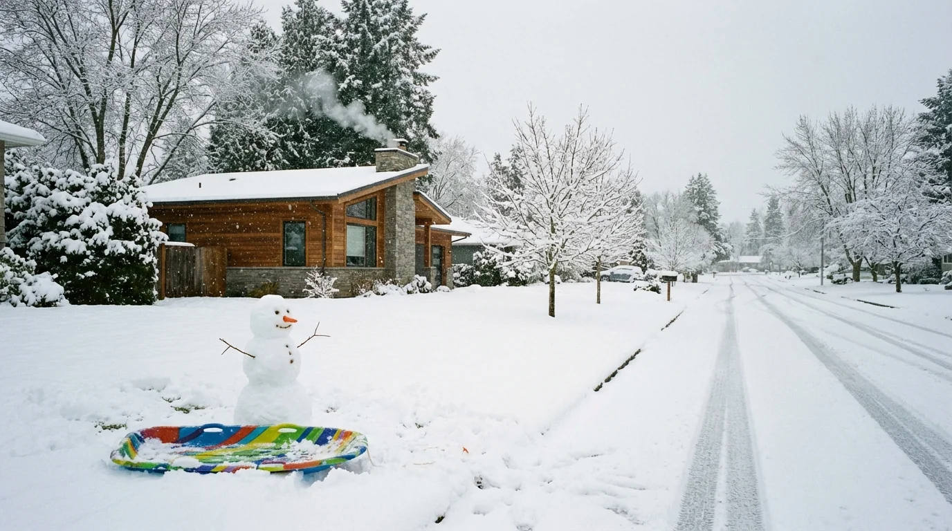
Expect a refreeze Sunday night. Anything wet can turn to ice. Slow down, test your footing, and assume black ice on shaded pavement.
Climate context
This weekend is a snapshot of our new winter reality. Our region’s winters are milder on average, yet storms can still deliver heavy bursts of snow. Warmer oceans feed storms more moisture. That moisture can fall as heavy snow when the air briefly tips below freezing. It can also fall as sleet or freezing rain when a warm layer slides in. That is why we are seeing sharper rain snow lines and wider ranges over short distances.
Snow removal and salt use now demand a smarter touch. Brine works well ahead of snow. Too much rock salt harms streams and soils. It also corrodes cars and infrastructure. I will be watching how road agencies balance safety with watershed health through the event.
Prepare smartly and sustainably
- Shovel early and often to keep snow light and reduce strain, then re clear before the refreeze.
- Use salt only where needed, and add sand for traction on cold shaded spots.
- Clear storm drains and hydrants so meltwater has a place to go and crews can reach connections.
- Check on neighbors, especially seniors and those without strong heat.
Keep a small kit in the car, warm layers, a scraper, a flashlight, a phone charger, and some water.
This is a dynamic setup. I am updating live as the mixing line wobbles and bands develop. For now, plan for several inches of plowable snow in many suburbs, less with sleet near the city, and a coastal mix. The cold snap after the storm may cause more problems than the storm itself. Prepare today, travel with care on Sunday, and stay weather aware as I track every shift.


