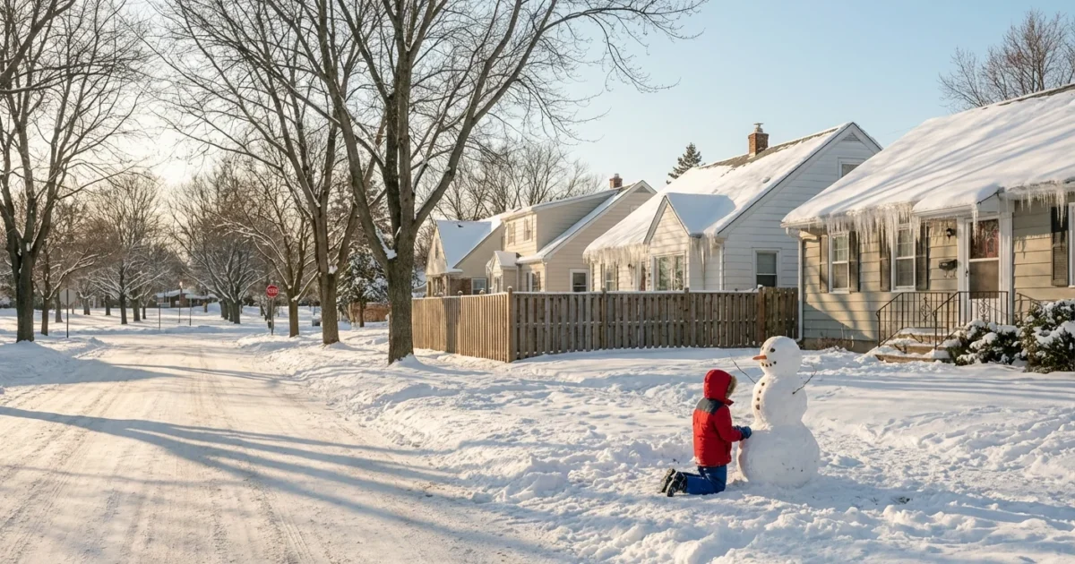
Breaking: Snow is set to blanket the Philadelphia region on Sunday. Our latest analysis shows a plowable event for many neighborhoods, with bitter cold and gusty winds tagging along. Travel will get tricky fast. Here is what to expect, why totals will vary by block, and how to prepare without harming streams and streets.
How much and when
Snow arrives Sunday morning from southwest to northeast. The steadiest snow is likely midday through evening. Roads turn slick as temperatures hold in the 20s and low 30s. The storm taps Atlantic moisture, so snowfall rates could spike during the afternoon.
Our current accumulation ranges:
- City of Philadelphia and nearby suburbs, 3 to 6 inches, highest north of the city.
- North and west suburbs into the Lehigh Valley, 5 to 9 inches where snow stays pure and powdery.
- South Jersey, Delaware, and the coastal plain, 1 to 4 inches where mixing or rain trims totals.
- Immediate coast, a coating to 3 inches, with more slush than fluff.
A narrow band could overperform. If that sets up across the city corridor, some spots may push past 6 inches. If the coastal low runs a bit warmer, totals sink near the river and shore.
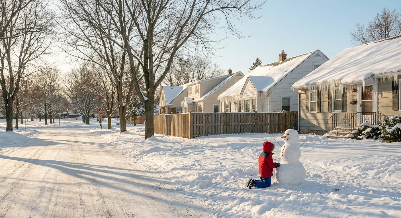
Travel could become dangerous Sunday afternoon and evening. Expect low visibility, slick roads, and blowing snow.
Winds increase late day, gusting 25 to 35 mph inland, 35 to 40 mph near the coast. Wind chills fall into the single digits and teens by night. Blowing and drifting snow will reduce visibility on open stretches and bridges.
Why your neighborhood total will differ
This storm is a tight dance of ocean heat, inland cold, and track. Small shifts decide big winners and losers.
The storm track
The low is forecast to pass near the Delmarva and then off the New Jersey coast. If it slides 50 miles east, colder air wins, and snow totals jump. If it tucks closer to the coast, warmer air sneaks in, and totals drop south and east.
The rain snow line
That line sets up near the I-95 corridor and over South Jersey. It wobbles as the ocean feeds in milder air at low levels. A two degree change can flip snow to rain for an hour, then back to snow. That swing can cut totals by several inches in a very small zone.
The rain and snow line is the wild card. A 30 mile shift could swing totals by several inches.
Banding and terrain
Snow bands form where lift is strongest. Under a band, rates can hit one inch per hour or more. A few miles away, flakes may look lighter. Higher ground north and west cools more, which helps totals there.
City heat effect
Urban heat lingers on streets and rooftops. Early in the storm, that can limit stickage in Center City. As rates pick up and pavement cools, even treated roads will turn white.
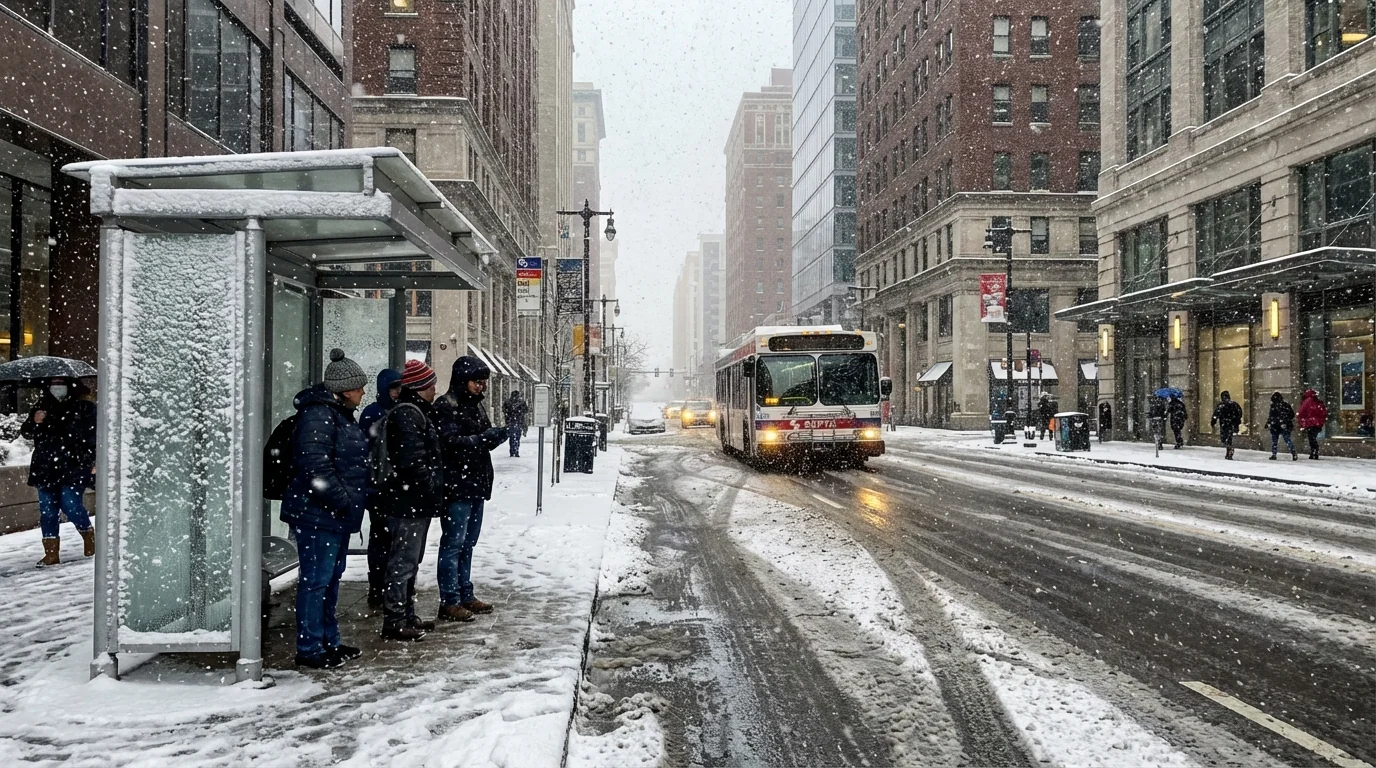
Cold, wind, and power
Temperatures crash behind the storm. Expect teens and low 20s Monday morning. Gusts Sunday night could cause spotty tree damage, mainly where snow is wet and sticky near the mix line. Energy demand will spike in the evening. Close curtains, block drafts, and lower the thermostat one or two degrees to ease the load during peak hours.
Prepare with purpose
You can get ready today and do it in a way that protects waterways and wildlife.
- Shovel early and often, clear storm drains, and keep hydrants visible.
- Use salt sparingly, switch to sand or traction grit on cold shaded spots.
- Charge phones, check flashlights, and avoid running generators indoors.
- Secure trash and recycling so wind and plows do not spread litter.
- Choose transit where possible Sunday afternoon and evening.
Use a pet safe de-icer and sweep up leftover salt after the storm. It keeps chloride out of streams and saves your soil and garden.
If you must drive, slow down and give plows room. Black ice will form Sunday night. Side streets and untreated roads will stay slick into Monday morning.
The climate signal behind the snow
Warmer oceans hold more moisture. When polar air slides south, that extra moisture can turn into heavier snow. The Mid-Atlantic now sees longer fall and spring, with fewer snow days overall. Yet the biggest storms can still pop when cold and moisture line up. That is the setup this weekend. The flip side, the rain snow line now swings harder, which boosts the bust risk near the coast and urban core.
Bottom line
Plan for plowable snow in Philadelphia and a heavier hit north and west. Lighter, slushier totals are likely toward the coast. The worst travel window runs Sunday afternoon into late evening, with bitter wind chills by night. Small track shifts will change the map, so check back for our updates as the storm tightens up.

