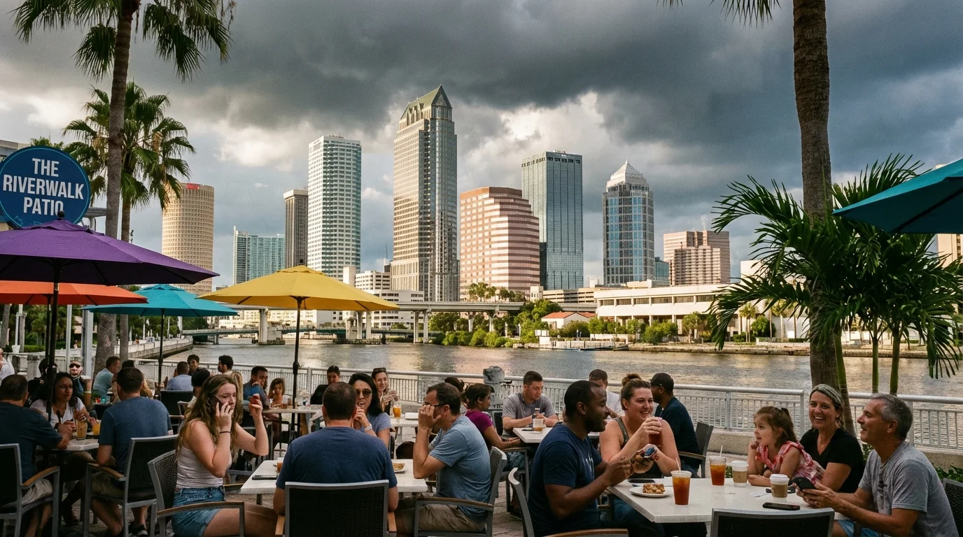
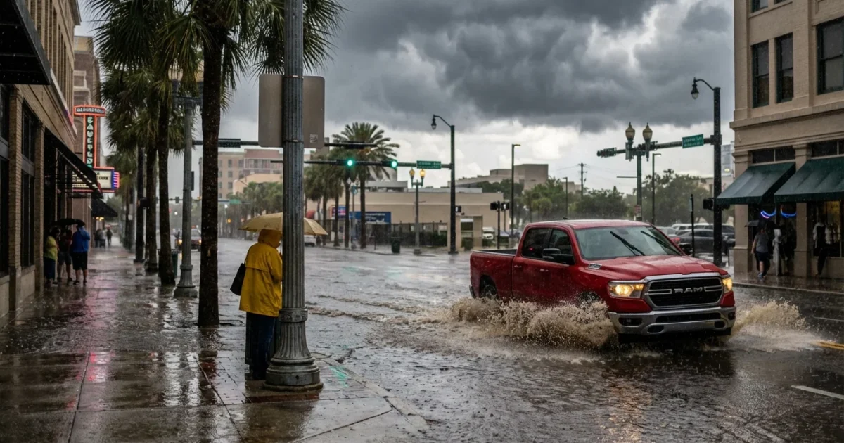
Breaking now: a fast line of storms is pushing into Tampa Bay tonight, with flashes of lightning and brief heavy rain. The hit will be sharp, then it moves out. Behind it, our stretch turns bright and mild. Plan for a sunny reset, with temperatures running a bit warmer than normal. Outdoor plans are back on the table, with a few evening storm caveats later this week.
Storms Tonight, Sunshine Loading
Expect downpours and rumbles to sweep west to east through the evening. Most cells will be quick movers. Rain rates can spike for a few minutes, so watch for ponding on busy corridors. Gusty pockets are possible under stronger cells, especially near the bay and along I-275. Lightning will be the main hazard. Once the line passes, skies will slowly clear overnight. Humidity dips, and a fresh breeze arrives by morning.
Have alerts on. A quick burst of rain can hide flooded lanes. Never drive through water. Lightning can strike ahead of the rain.

Why This Is Happening
A cool front is sliding into a very moist Gulf air mass. That clash lights up storms as the line meets sea breeze boundaries near the coast. Gulf waters have stayed warm into winter in recent years, which keeps the air loaded with moisture. More moisture means storms can wring out heavy rain, even in a short window. As the front fades to our south by morning, high pressure builds in. That brings calmer winds, more sun, and a steady warm-up through the week.
Your Week, Day by Day
The pattern flips after tonight. Expect mostly sunny skies and mild afternoons, with temperatures a bit above the January average. Morning air will feel crisp, then warm quickly by midday. A few evenings may bring a stray storm along the sea breeze, mainly inland and south of Tampa.
- Sunday: Bright, breezy, and comfortable. Highs in the mid 70s. Cool evening with lows near 60.
- Monday: Sunny start. Highs mid to upper 70s. A spotty inland shower late, most areas dry.
- Tuesday: Mostly sunny and warm. Highs near 80. Light gulf breeze sets up in the afternoon.
- Wednesday: Sunny to partly cloudy. Slight chance of an evening thunderstorm east of I-75.
- Thursday: Warmest day. Highs near 80, a few clouds late. Isolated evening rumble possible.
Isolated thunder returns late week, but it will be brief and hit or miss. Most of us stay dry on any given day. Plan with confidence, and keep a flexible hour in the evening if your event is outside.

Commutes and Outdoor Plans
Morning drives will be smooth after tonight’s cleanup. Dry roads and a light breeze will help air out the city. Afternoons will warm quickly, so hydrate and pace outdoor work. Gardeners will welcome the sun, but new plantings may need a midweek drink. Boaters can expect improving conditions, with light chop after the front passes. Keep an eye on late day cumulus building inland. If clouds tower, lightning is possible near sunset.
Set a daily check at 3 pm. If you see bubbling clouds with dark bases, wrap up on fields, courts, and docks within 20 minutes.
Climate and Sustainability Check
This warm January stretch fits a larger pattern for Florida. Winters are trending milder as the climate warms. Warmer Gulf waters add moisture and energy to passing fronts. That can mean short, intense downpours and more lightning, even outside summer. Our sunny week will also nudge urban heat. Dark pavement, tight blocks, and low shade can push neighborhood temperatures several degrees higher in the afternoon.
Small steps help. Shade trees and light colored roofs cool homes and streets. Rain barrels capture tonight’s runoff for a thirsty garden later this week. Storm drains clear the fastest when we keep leaves and litter out. As sea levels rise, even short cloudbursts can back water into low spots. Parking a few inches higher and scouting alternate routes now reduces headaches later.
Tonight’s rain is brief, but it is a reminder. Heavier bursts are becoming more common in a warmer climate. Build a habit of checking the sky and checking the drain near your home.
The Bottom Line
Storms move through Tampa Bay tonight with lightning, brief heavy rain, and a few gusty pockets. By sunrise, the turn begins. Expect a sunny, mild run into late week, with highs in the upper 70s and near 80 at times. Keep alerts on tonight, then enjoy the reset. Plan your miles in the morning, book your patios for lunch, and leave a little room for a stray evening rumble later in the week. Umbrella tonight. Sunglasses tomorrow. ☀️🌧️


