Breaking: Montgomery County extends its snow emergency, and Montgomery County Public Schools will stay closed Monday and Tuesday after a powerful winter storm. Crews are plowing through deep drifts and compacted ice. The big question now is Wednesday, Jan. 28. The decision will hinge on how roads, sidewalks, and school sites recover tonight and early morning.
What the extended snow emergency means
The extension is not just a headline. It changes how the county moves and how schools plan. A snow emergency triggers parking restrictions on marked routes. It clears the way for plows and emergency vehicles. It also means road crews will focus first on major corridors, bus lanes, and hills.
- Do not park on snow emergency routes to avoid towing
- Expect plows to cycle on major roads before neighborhoods
- Give snowplows space, and never pass a working plow
- Use designated shelters and warming centers if you lose heat
This storm left heavy, moisture rich snow. It packs down quickly under traffic. That creates a hard layer that takes longer to scrape away. Salt works slower in bitter cold, especially at night. Side streets and shaded curves will lag. Sidewalks remain a shared responsibility for residents, property managers, and schools.
Black ice will reform this evening and early morning. Assume wet pavement will refreeze. Slow down and leave extra stopping distance.
How MCPS makes the call
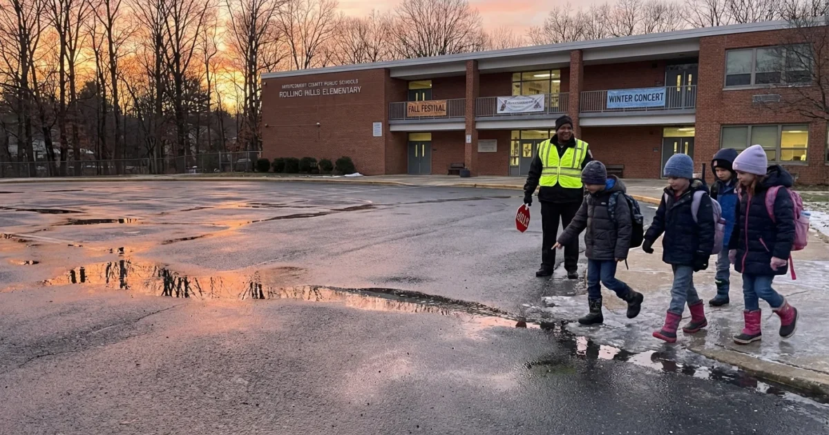
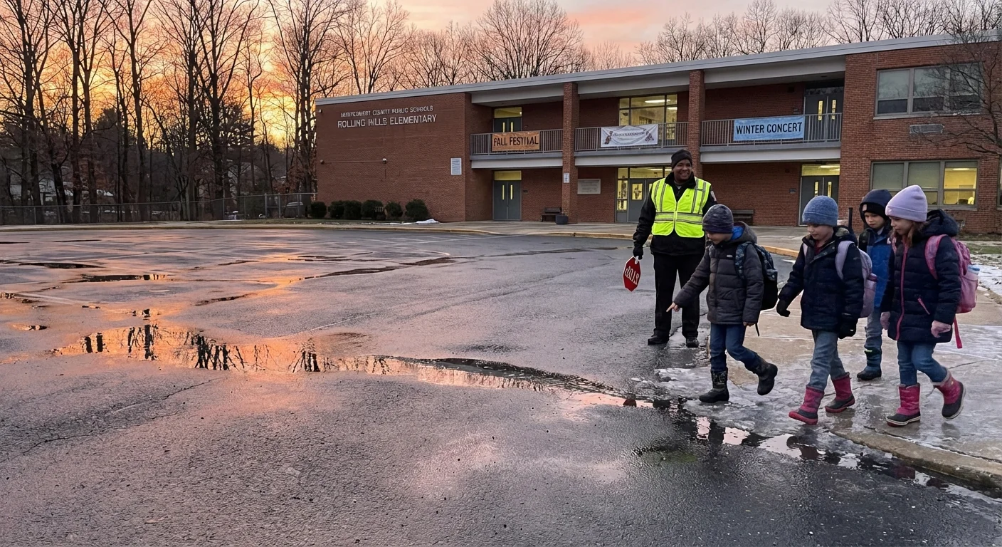
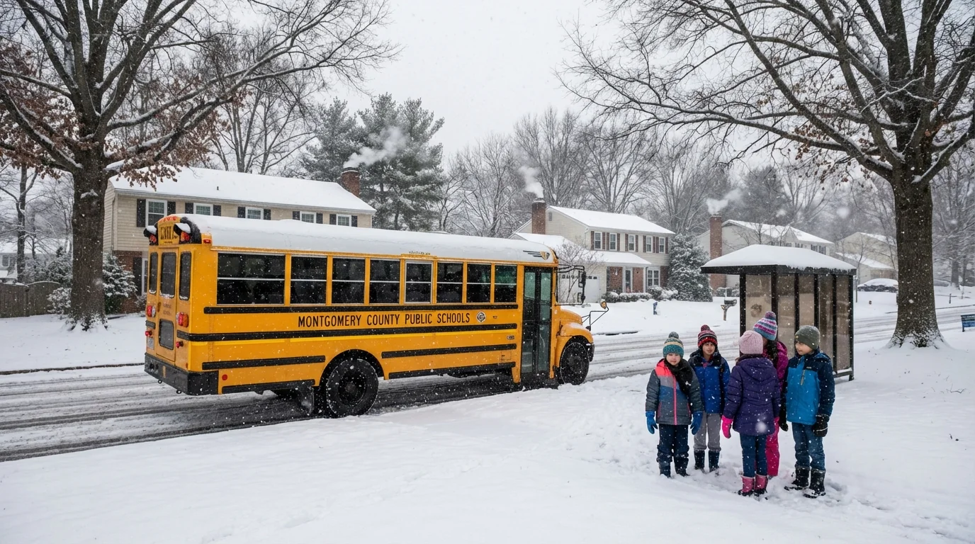
Here is how the school decision comes together, step by step. Transportation staff and county road crews drive key routes before dawn. They check bus yards, school parking lots, and loading zones. They look for plow berms, ice sheets, and blocked turning lanes. Special attention goes to hills, bridges, and rural stretches where buses struggle.
MCPS weighs several factors. Are main roads passable for full size buses. Are sidewalks and crosswalks cleared for walkers. Can special education and magnet routes run safely across the county. Are school lots de iced enough for staff to arrive and for emergency access.
Leaders review the forecast, pavement temperatures, and wind chill. They also consider timing. A late thaw at noon does not help a 7 a.m. route. If conditions are mixed, MCPS may order a delay to allow sun and crews more time. If surface conditions and access remain poor, closure remains on the table.
Families should expect an update later today or early Wednesday morning. The call will balance student safety with the need to restore learning. It will be shaped by how fast crews can cut through packed snow and how cold the night gets.
The weather setup and what comes next
This storm drew Atlantic moisture into a deep pool of Arctic air. That mix produced heavy, sticky snow and quick drops in visibility. Gusty winds drifted snow back onto treated lanes. Today, the air remains cold and dry behind the system. That means little natural melting before midday.
A few light snow showers are possible, but the big impact now is refreeze. Temperatures will dip again tonight. Expect a hard glaze on untreated surfaces by dawn. If skies clear, sun works on dark pavement Wednesday afternoon. Sidewalks and shaded routes, however, will lag into the evening.
Warmer oceans feed more moisture into winter storms. That can supercharge snowfall when cold air is in place. At the same time, our region still sees sharp temperature swings. These wild swings stress roads, buses, and buildings, and they complicate the school decision window.
How families can prepare now
While we wait for Wednesday’s call, small steps will make a big difference. Think safety first, then think sustainability.
- Clear a path from your door to the sidewalk and the nearest bus stop
- Shovel storm drains and hydrants near your home to prevent ice dams
- Use salt sparingly, and switch to sand or calcium magnesium acetate when possible
- Pack traction aids, dry socks, and gloves for walkers and riders
- Give yourself extra travel time, and plan for a delay or a closure
Use less salt. Chloride loads harm streams and trees. Shovel early, then apply a light layer of eco friendly deicer. Reapply only if needed.
Schools, resilience, and the path forward
Closures carry a cost, but they can also support smarter operations. MCPS can set back heat in empty buildings to save energy. Transportation can reduce idling at depots to cut diesel fumes. Grounds teams can target priority entrances and ADA routes first. Each step lowers fuel use and pollution while improving safety.
The district’s shift toward electric school buses also helps in storms. Electric buses deliver steady torque on slick starts, with zero tailpipe emissions near students. Pair that with better salt management and permeable surfaces on campus, and winter operations get cleaner and safer.
This storm is a reminder. Our winters may bring fewer snow days in some years, then drop a high impact system like this one. Warmer air holds more water. When cold settles in, that extra moisture falls as heavy snow. Planning for that reality is now part of the school day.
Conclusion: I am tracking plow progress, pavement temperatures, and school site access through the evening. Expect an update on Wednesday, Jan. 28 status as crews report overnight conditions. Keep sidewalks clear, drive gently, and watch official MCPS and county alerts. Safety first, smart choices always, and a climate wise winter playbook for the days ahead. ❄️


