A cold, glittering flip of the calendar is on the way. I am tracking a light, steady snow that will slip into New England this New Year’s Eve, then linger into New Year’s Day. It will not be a blockbuster storm. It will be just enough to paint roads, chill the air, and test travel plans at the stroke of midnight ❄️.
What to expect tonight through New Year’s Day
Snow develops this evening, first across western and central areas. It reaches Greater Boston late evening and pushes into coastal New Hampshire after midnight. The snow will stay light for most of the night. It will taper to flurries or drizzle by late morning in many towns.
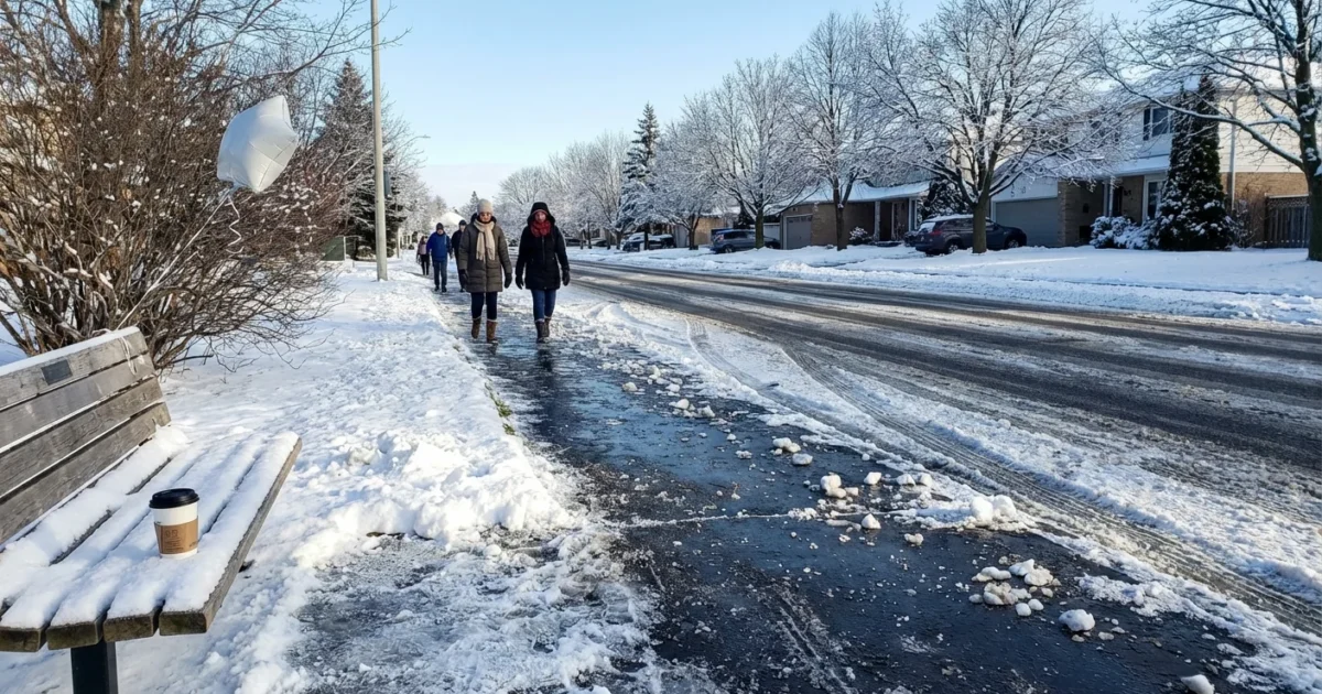
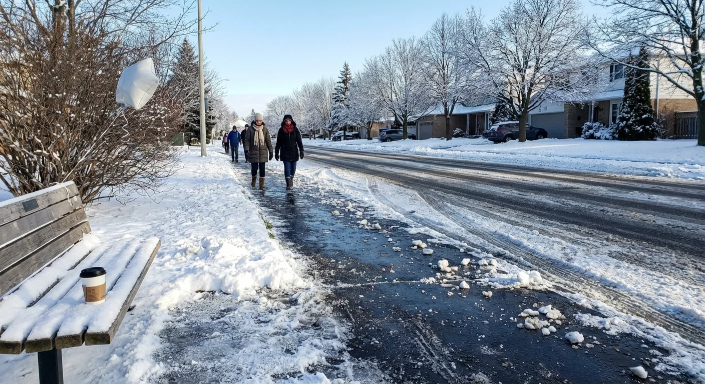
Air temperatures hold in the 20s. A noticeable breeze makes it feel like the teens at times. Wind gusts near 20 miles per hour add a bite and reduce comfort outdoors. Most spots see a coating to a couple of inches on untreated surfaces. Side roads, ramps, and bridges turn slick fastest. Visibility drops in bursty bands, especially after midnight.
Expect the most slippery conditions from 11 p.m. to 6 a.m. That is the prime window for black ice and light accumulation. By early afternoon New Year’s Day, roads improve with daylight and road treatments, but shady spots stay icy.
Impacts on celebrations and travel
Outdoor countdown events will feel sharp and wintry. Standing still will make the cold feel worse. If you are watching fireworks or gathering in city squares, layer up and cover your face.
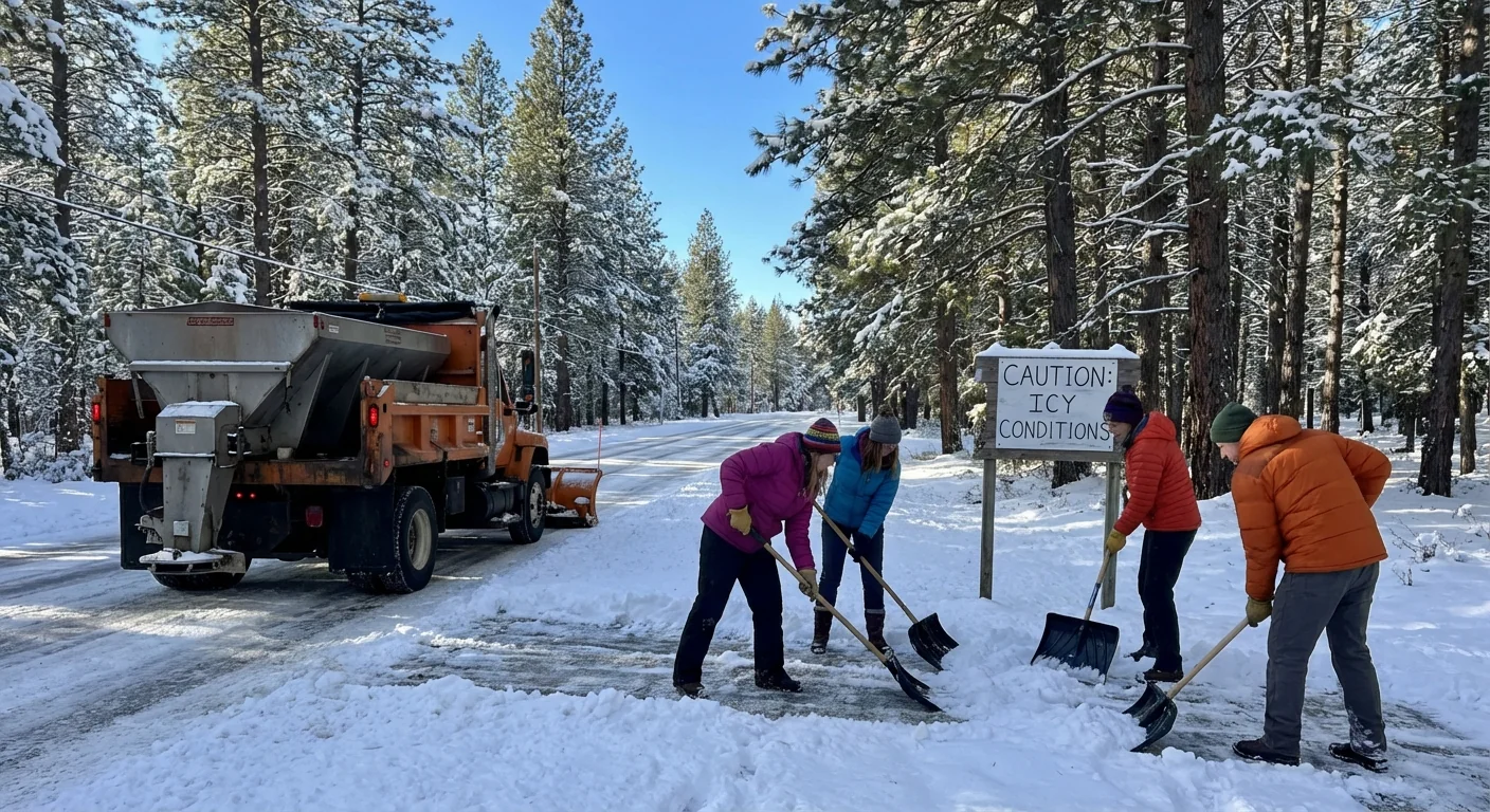
Overnight travel needs patience. Even a half inch can cause spinouts on ramps and overpasses. Plows and salt trucks will be out, but bursts can outpace treatment for a time. Morning flyers should check airline apps and arrive early. Commuter rails and buses often run holiday schedules with weather tweaks.
Black ice risk peaks near and after midnight. Slow down on bridges and untreated side streets. Give road crews space.
A few fast moves help tonight:
- Wear warm layers and waterproof boots with grip
- Keep phones charged, pack gloves and a hat
- Use sand or pet safe de-icer on steps, not rock salt
- Check transit and event updates before leaving
The climate backdrop
This light snow sits inside a bigger winter story. New England winters are warming. Average cold snaps are shorter. That does not mean snow vanishes. It means more swings. We are seeing more freeze and thaw cycles, even inside one day. That cycle builds black ice, damages pavement, and complicates road treatment.
Warmer air can hold more moisture. That boosts the odds of slushy snow and mixed precipitation. Coastal areas, including Greater Boston, now flip from snow to rain more often when storms track north. Inland valleys still bank snow, but totals are spread out. Tonight fits the pattern. Modest snow, marginal air, a quick exit.
This matters for drinking water and ecosystems. Heavy salt use washes into rivers and wetlands. It stresses fish and raises chloride levels in lakes. Lighter, smarter treatment keeps roads safe and protects water all year.
Sustainability moves that help tonight
You can keep celebrations safe and gentle on the environment. Shovel early, then go easy on chemicals. Aim for traction, not a white crust of salt. Use sand or calcium magnesium acetate if you have it. Sweep up leftover grit after the melt to keep drains clear.
Turn down the thermostat a degree or two before you head out. Close curtains to trap heat. Avoid idling in driveways. Short warm ups work for modern engines. If you are hosting, set up a warm gear corner for guests. Dry gloves and hats extend outdoor time and cut trips indoors.
Bring a reusable mug with a lid for hot drinks at outdoor events. It keeps you warm and cuts waste in one simple step.
Event organizers can help too. Treat walkways early with brine, then reapply lightly. Offer secure bike parking. Put out labeled bins for compost and recycling.
Tonight’s road safety does not need heavy salt. Targeted treatment and patient driving do more with less.
Timeline by region
New Hampshire: Snow fills in from southwest to northeast this evening. Slick travel peaks midnight to sunrise. Expect a coating to 2 inches, a touch more north of Concord if bands linger. Wind chills dip to the teens.
Connecticut: Light snow arrives first, late evening west of Hartford, then spreads east. Coating to 2 inches statewide, with the highest along the interior hills. Pre-dawn travel will be slow on untreated roads. Improvement late morning.
Greater Boston: Flurries and light snow press in late evening and after midnight. A coating to about an inch is most likely. Side streets glaze first. Coastal gusts add a sting to the air. Roads improve by midday, but watch shaded sidewalks.
The bottom line
New Year’s arrives with a quiet, workable winter event. It is cold, it is breezy, and it is just snowy enough to slip you up. Dress for the wind, leave early, and step carefully. Choose smart de-icing to protect waterways. Start 2026 with safe roads, warm hands, and a small climate win. Happy New Year, New England.


