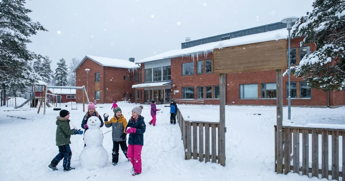
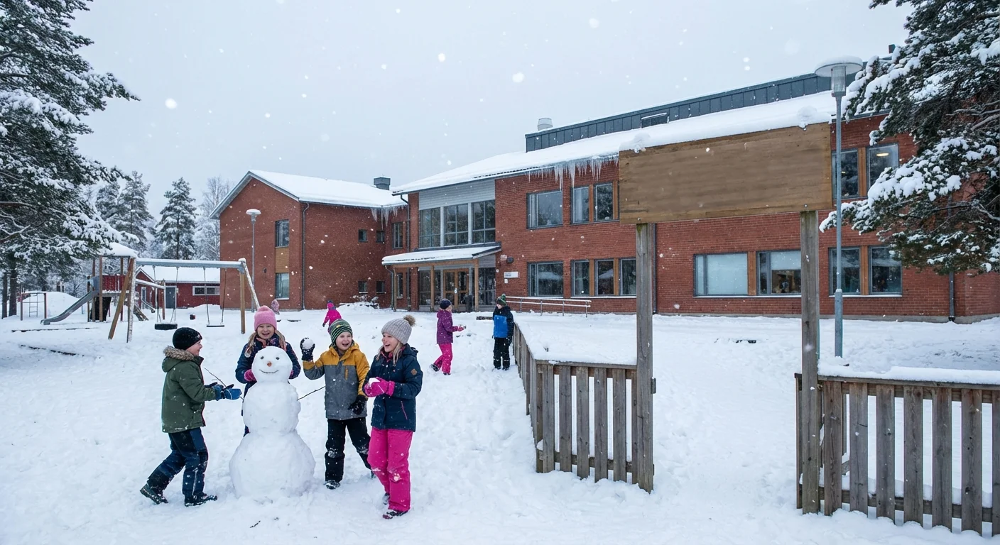
BREAKING: Metro Detroit schools are bracing for a disruptive Thursday as a fast-building winter storm slides in overnight. I am tracking district decisions and the weather setup in real time. Expect waves of closings and delays for Thursday, Jan. 15, as snowfall, wind, and bitter road temps make morning travel risky. Parents, here is how to find verified updates fast, and why this storm stands out in a warming winter.
The storm setting up tonight
A deepening low is pulling Gulf moisture into cold air over Southeast Michigan. Snow fills in this evening, then intensifies after midnight. Road crews will face rapid accumulation through the pre-dawn hours. Gusts will pick up, which means blowing snow and reduced visibility at daybreak. Side streets and bus stops will be the toughest. Expect plowable totals by sunrise, with heavier pockets where bands lock in.
Warmer lake waters are adding fuel. Lake St. Clair and western Lake Erie hold heat longer now, so the air above them can carry extra moisture. That boosts snow rates along the I‑94 corridor and the east side.
Where to get verified school closings fast
I will post confirmed closures and delays as districts issue official alerts. Many superintendents push decisions in two waves, late evening and early morning. Do not wait on rumors. Go straight to authoritative sources.
- District website and mobile app alerts
- Official district email, text, or robocall
- County emergency alerts or Nixle messages, if your district uses them
- The school’s verified social accounts, look for the blue or gold seal
Bookmark your district’s homepage now, then refresh at the top of each hour tonight. Keep your phone unmuted for overnight alerts.
If your district offers e-learning, watch for a split decision. Some will cancel in-person classes, then pivot to remote for attendance.
When decisions drop, and what it means for buses
Most transportation teams check pavement temps, untreated side streets, and visibility between 4 a.m. and 5:30 a.m. The first round of calls often lands by 9 p.m., then a second wave lands just before dawn. Expect a mix of full closures, two-hour delays, and after-school activity cancellations. If wind keeps drifting snow over rural routes, bus runs will be paused until plows can reopen shoulders and turnarounds.
The safety threshold is simple. If drivers cannot see lane lines, or if ice keeps reforming, buses do not roll. City districts face a different hurdle. Corners and curb cuts pile high, which can hide kids at crosswalks. Many urban districts will delay to let crews clear corners and school entrances.
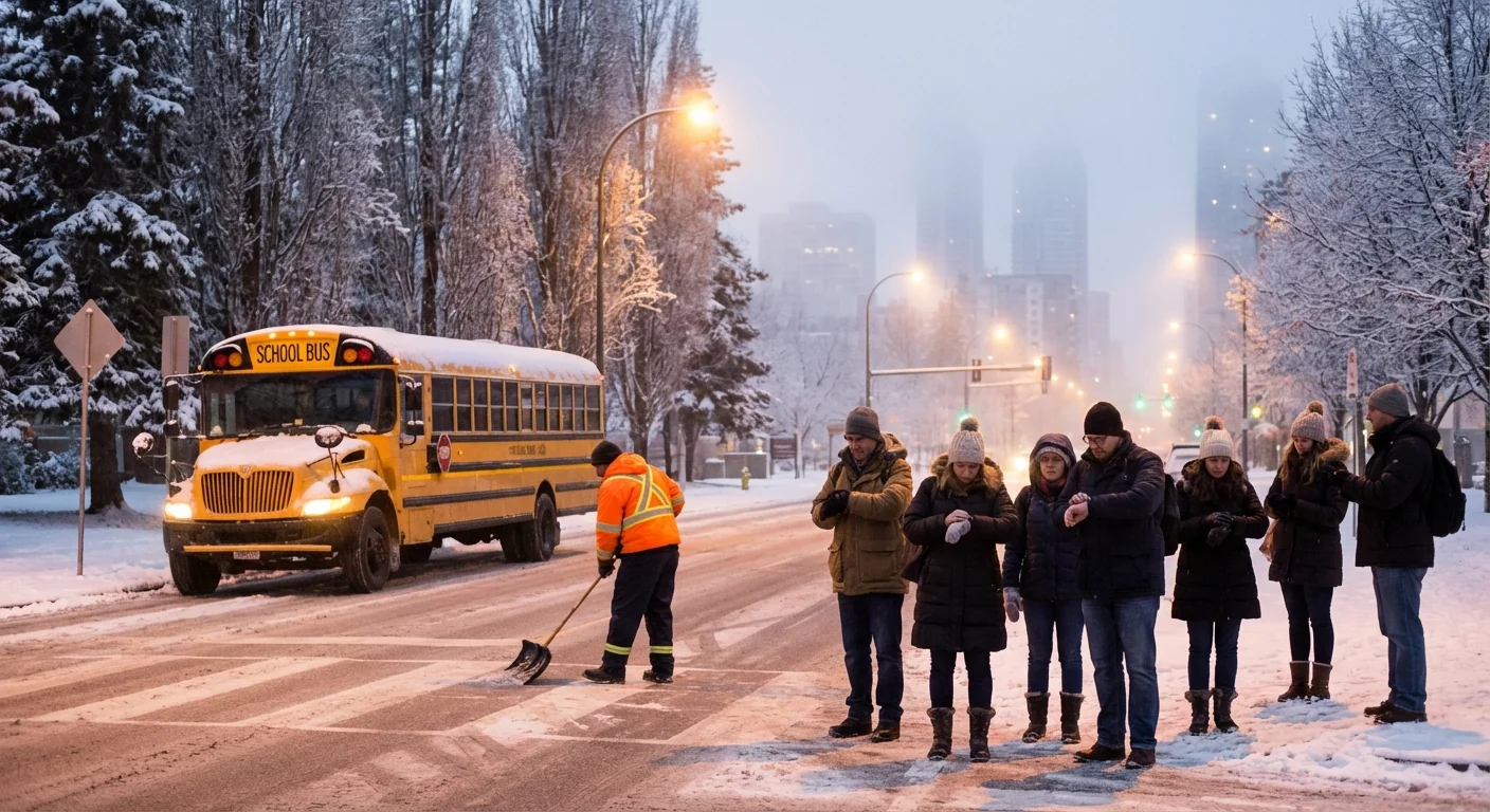
Bridges and overpasses glaze first. Even if your street looks wet, elevated sections can be ice. Leave early, drive slow, and give buses extra room.
Why storms like this are getting trickier
Winters are warming overall, yet intense snow bursts are more likely in narrow windows. A warmer atmosphere can hold more water vapor. When cold air finally drops in, that moisture can flip to heavy snow with higher rates for short periods. Add warmer lakes, and you get localized bands that stack up fast. That is why one suburb may see light totals, while a few miles east get a half foot before breakfast.
This pattern also brings messy freeze and thaw cycles. Salt works slower near single digits, and runoff from heavy salting can wash into rivers. It harms fish and adds stress to winter ecosystems. Cities are shifting toward smarter brine lines and better timing, fewer crystals, more precision. Households can help too. Clear snow early, then scatter only a small amount of salt, about a coffee mug for a typical driveway. Sand adds grip without the chemical load.
What to do before morning
Treat tonight like a power play on time. Lay out boots, gloves, and layers. Charge devices in case of remote learning. Brush off cars before you sleep, since morning snow will be wind packed. Shovel a narrow path now, then do a quick second pass at dawn. That reduces refreeze.
If your child walks, plan a buddy route with bright gear. If you drive, pack a scraper, a small shovel, and a blanket. Keep a low speed near bus stops. Blowing snow can hide kids and strobe lights until the last second. ❄️
In the next few hours, I will keep confirming closings as they post. Watch for the late-night wave, then expect fresh calls around sunrise. This storm is sharp and fast, a classic Michigan hit powered by a warmer background climate. Stay alert, check verified channels, and give crews space to work. Schools will reopen when the snow is pushed back, the corners are clear, and the routes are safe. Until then, your best tools are patience, preparation, and a quick refresh of those official alerts.


