Schools are closed. Plows are grinding through the night. And Montgomery County is still under a snow emergency as the region digs out. I can confirm MCPS will remain closed Monday and Tuesday after this powerful winter storm. Officials are weighing road and sidewalk conditions for a Wednesday, January 28 decision. Families need clarity now. Here is what the emergency status and plowing timeline really mean for the rest of the week.
Schools shut, emergency extended
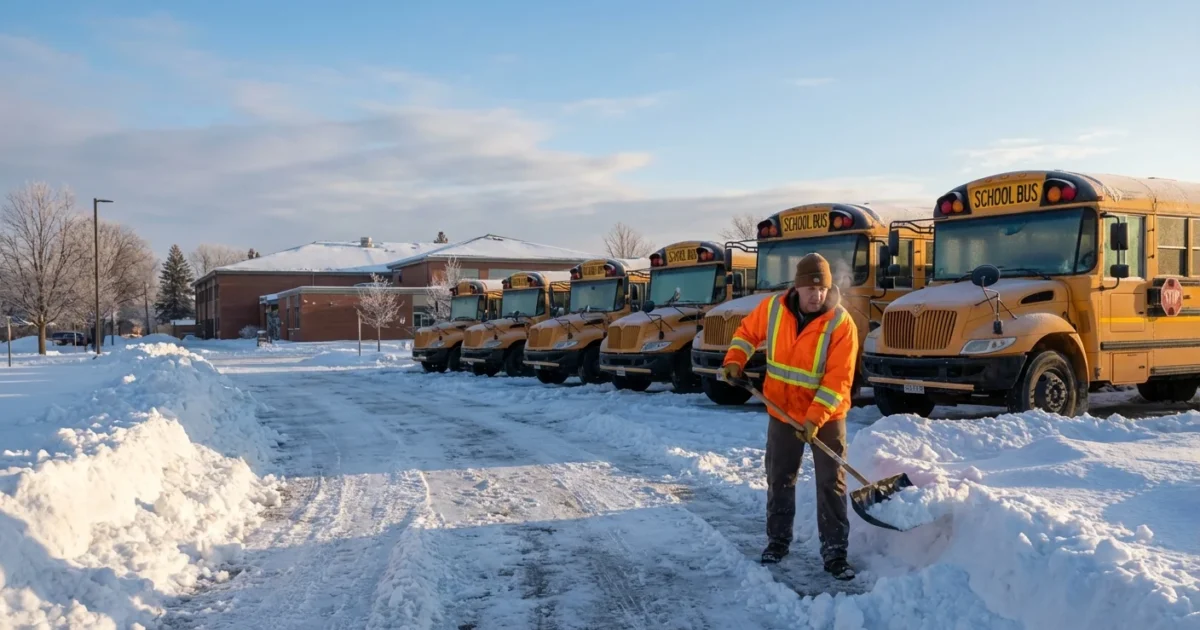
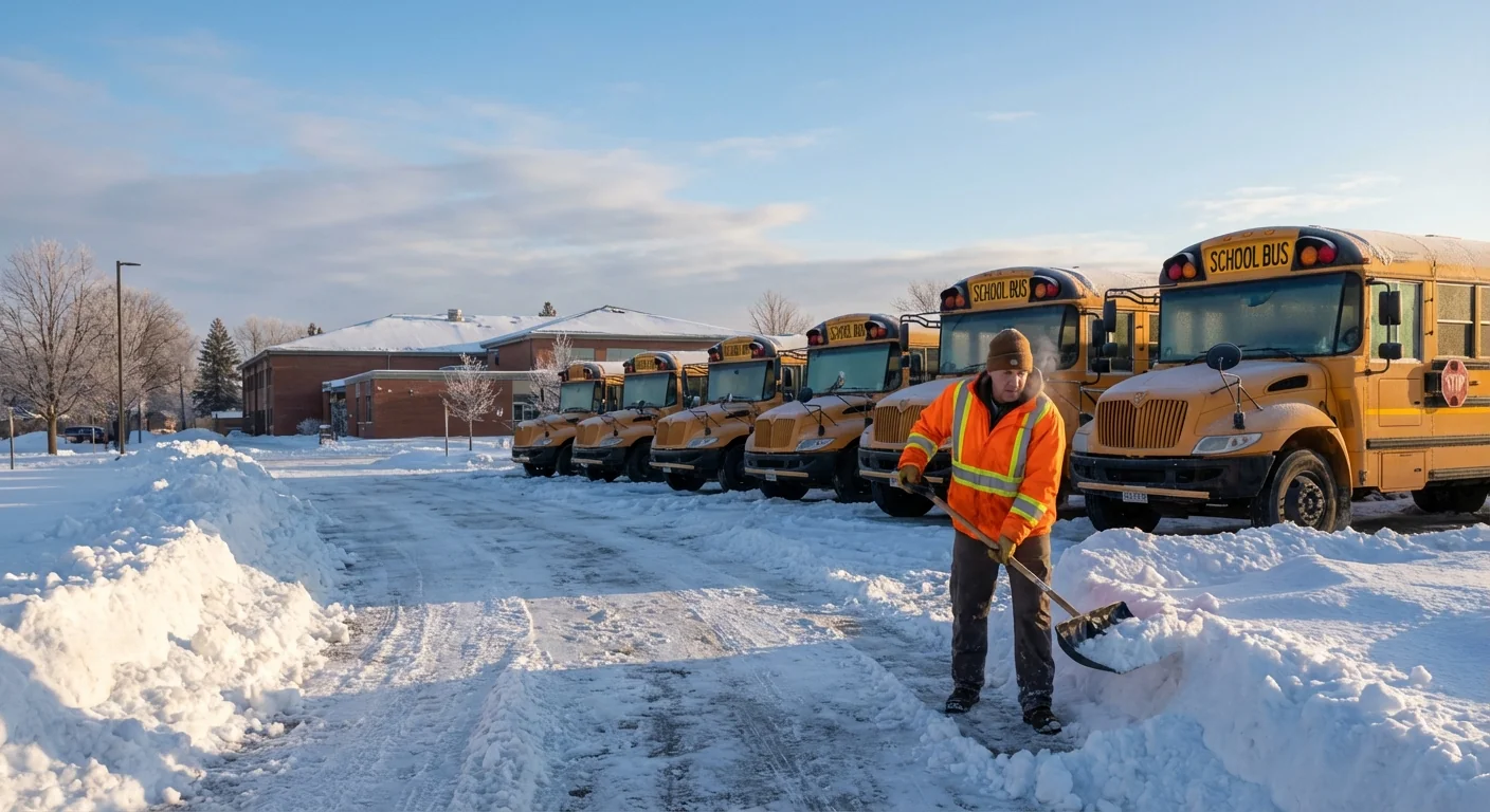
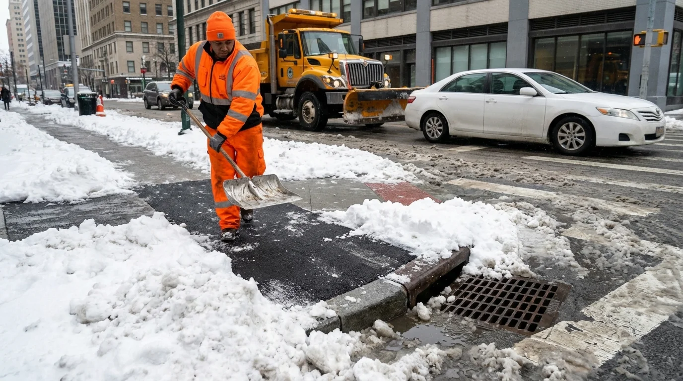
The county’s extended snow emergency keeps the focus on safety and access. Heavy snow packed onto cold pavement, then hardened as temperatures stayed low. Crews have cleared most major arteries, but that is only the first step. Secondary roads and neighborhood streets take longer. School buses need wide, passable lanes and safe turnarounds. Students need cleared sidewalks and crossings.
I am tracking conditions across bus depots, school parking lots, and feeder roads. Many remain icy where sun did not reach today. That matters for special education routes and early morning pickups. The system cannot reopen until those choke points improve. The Tuesday closure gives crews another full cycle to open space and push back high snowbanks.
Snow emergency rules matter. Do not park on posted routes. Plows must move fast and wide to keep lanes open.
Why the Wednesday call is tricky
A midweek reopening depends on more than a plow count. It depends on what the atmosphere does tonight and tomorrow morning. The air mass remains cold, with light wind and clear breaks. That favors refreeze after sunset. Meltwater will glaze shaded roads, bus loops, and curb cuts. Early morning temperatures are the real test for buses and walkers.
Here is how the decision comes together inside a large district:
- Overnight road checks on primaries, secondaries, and school-adjacent streets before dawn.
- Reports from transportation, facilities, and county highway crews on passability and ice.
- Walkability checks near schools, including corners, crosswalks, and loading zones.
- Weather updates on air temperature, wind chill, and any new wintry precipitation.
If two or more of those go the wrong way by the early morning window, the call leans to delay or closure. If crews can hold their progress and temperatures climb above freezing by late morning, a delayed opening becomes possible. A full reopening needs clean roads and safe walking routes in every cluster, not just a few.
The storm’s science, in plain terms
This storm carried a deep feed of Atlantic moisture into air that was cold enough to keep snow ratios high. Warmer oceans increase the amount of water vapor storms can pull in. When that moisture meets a locked-in cold pool, the result can be heavy, wet snow. We saw strong bands that parked over the region for hours. That produced quick accumulation, then thick pack.
In a warming climate, the air holds more moisture. That raises the odds of big precipitation events. In winter, that can still mean heavy snow if the thermometer stays below freezing. It also means more freeze and thaw cycles during the week. Those swings break up road surfaces and grow potholes by spring. They also push salt and sand into streams, which hurts water quality.
What families can do today
Your choices help speed a safe return to school and protect the environment at the same time.
- Clear the full width of your sidewalk and the curb cut at corners.
- Uncover storm drains so melt can flow, not pool and refreeze.
- Use salt sparingly, and switch to sand on very cold days when salt fails.
- Keep cars off emergency routes and off corners to leave room for plows.
If you can, dig out hydrants near your home. Clear three feet around them. Seconds count in a fire.
For the fastest official updates, monitor MCPS alerts and county emergency channels. Turn on notifications, and check again after 5 a.m. for day-of calls.
Travel and energy tips
If you must drive, go slow and simple. Black ice hides in shade and on bridges. Give snowbanks at intersections extra space. Keep emergency kits in cars with blankets, water, and a small shovel. At home, lower thermostats a notch, seal drafts, and run dishwashers and laundry at off-peak times. That eases stress on the grid while crews work.
What to watch Tuesday night
Watch the late afternoon temperature. If it fails to reach the mid 30s, expect more glaze after dark. Look for an evening update from MCPS and the county on plowing progress near schools. The best sign for a Wednesday return is bare pavement on secondary streets by sunset, plus widened lanes at bus stops. The worst sign is standing slush at corners and thick ice on school lots. I will be tracking both and will update as soon as a decision posts.
Conclusion
This storm is a reminder. Big moisture, steady cold, and tight bands can shut down a large system fast. The path back is careful and methodical, road by road and corner by corner. MCPS is closed Monday and Tuesday. A Wednesday call will hinge on ice and access in the early morning window. Clear your sidewalks, use less salt, and keep emergency routes open. Safety first, then speed. That is how we get our students back to class.


