Snow and sleet still grip Northern Virginia, and families in Fairfax County are on edge. I am tracking road ice, plow progress, and school grounds across the county right now. Fairfax County Public Schools will make a call on schedules as conditions evolve tonight and early tomorrow. Expect a fast decision window, and plan for several scenarios.
Storm aftermath and the school day ahead
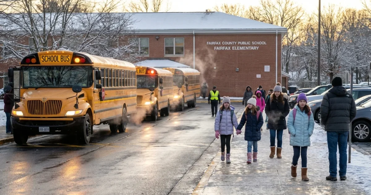
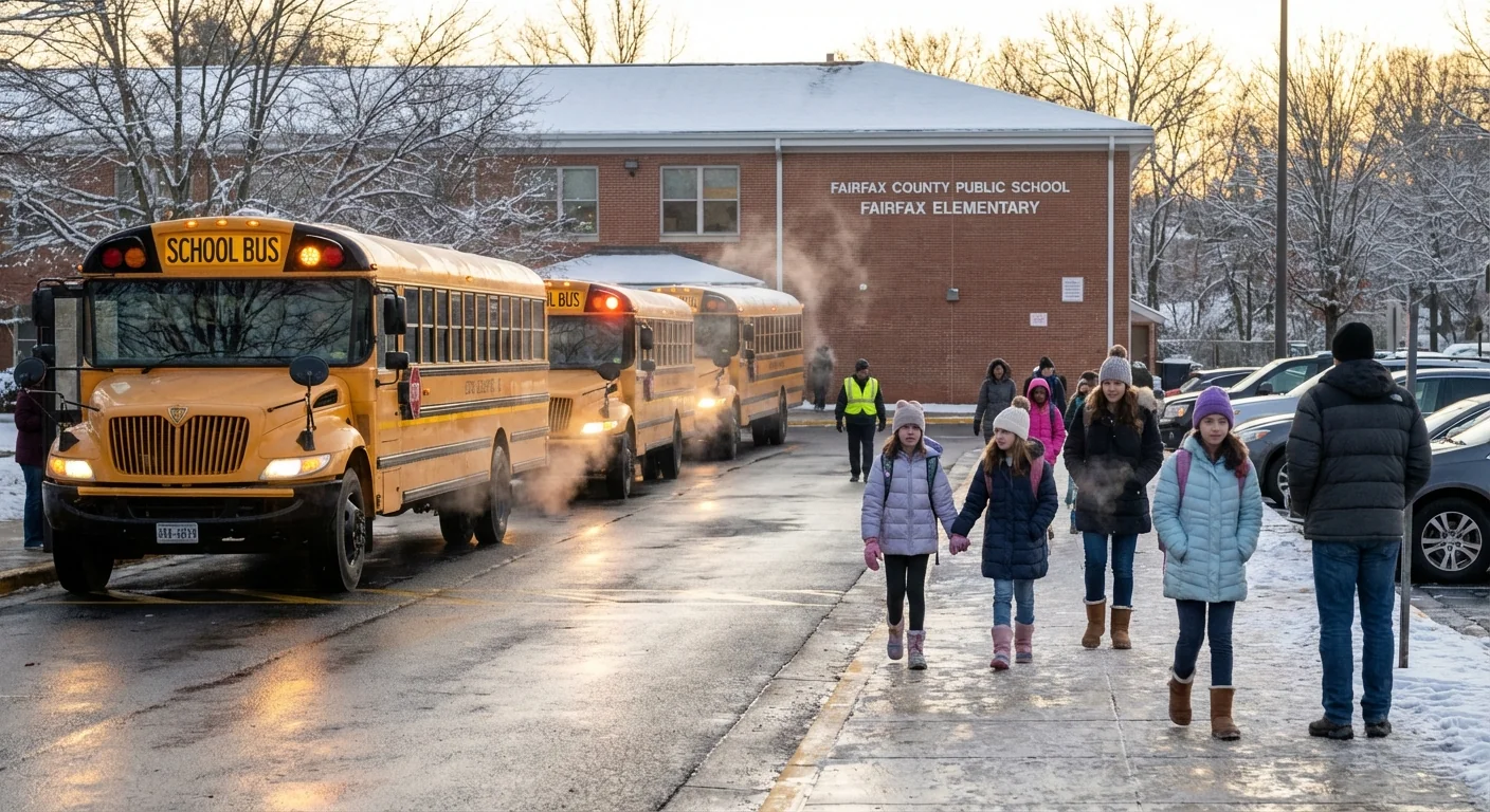
Roads remain coated with compacted snow and a crust of sleet. Side streets and neighborhood hills are the worst. County facilities closed on Monday, a clear sign that travel remains risky. Nearby Arlington Public Schools already called another snow day for Tuesday, and that puts the focus squarely on Fairfax.
Temperatures are hovering around freezing. That keeps a slick glaze on shaded roads and sidewalks. Any refreeze after sunset will turn wet patches into black ice. That will matter for buses, walkers, and car lines in the early morning hours.
Expect spotty black ice before sunrise. Bridges and untreated sidewalks will freeze first. Drive slow and leave extra space.
How to track FCPS decisions in real time
FCPS uses a tight alert system when winter weather hits. Updates often arrive late in the evening or just before dawn. Do not wait on word of mouth. Go straight to verified channels.
- FCPS website homepage and the emergency announcements banner
- Official FCPS email and text alerts, check your contact info tonight
- FCPS mobile app notifications and the district’s official social channels
- Local TV and radio partners that carry FCPS postings
If conditions vary across the county, FCPS may call a delayed start. In rare cases, some programs can shift to virtual learning for a day. After school activities are often the first to be canceled, especially if the refreeze risk rises in late afternoon.
Set your alert preferences now. Choose both email and text for the fastest notice. Keep your phone charged overnight.
Plan A, B, and C
Prepare for three paths. Closure, delay, or normal schedule with limited activities. A simple plan helps.
- Pack a lunch that can travel, in case cafeteria delivery runs late
- Lay out boots and traction cleats for walkers
- Move cars off street parking to help plows reach bus stops
- Charge laptops and hotspots in case of a virtual day
Why this storm packed a punch
This was a classic mix for our region. A warm layer aloft dropped sleet onto a subfreezing surface. That glued ice to pavement and packed down the snow. Sleet is heavy, and it dulls plow blades. It also bonds to the first inch of snow, which makes removal slow.
Climate science points to swings like this becoming more common. Winters here are warming, but the atmosphere holds more moisture. That sets the stage for wetter snow, sharp freeze and thaw cycles, and icy mixes. When arctic air dips south, it meets a juiced up storm track. The result is fewer snow days some years, then a burst of high impact events like this one.
Even small nudges in temperature can flip rain to sleet within a mile. That is why conditions can vary from Reston to Lorton on the same morning. The City of Fairfax issued winter weather guidance to reflect these microclimates. Expect FCPS to weigh those local details before deciding.
Safety and sustainability on the ground
Salt and chemicals are working hard today, but they come with tradeoffs. Salt lowers the freeze point, which keeps travel possible. It also washes into streams and can harm trees and pets. Sand adds traction, but it clogs storm drains if overused. Crews try to balance safety and impact by targeting hills, bridges, and bus routes first.
School sites face a tough puzzle. Plows must clear big lots without burying walkways. Custodians need time to chip ice from steps and ramps. That is slow, careful work. A delayed opening can buy a safe margin for crews and buses.
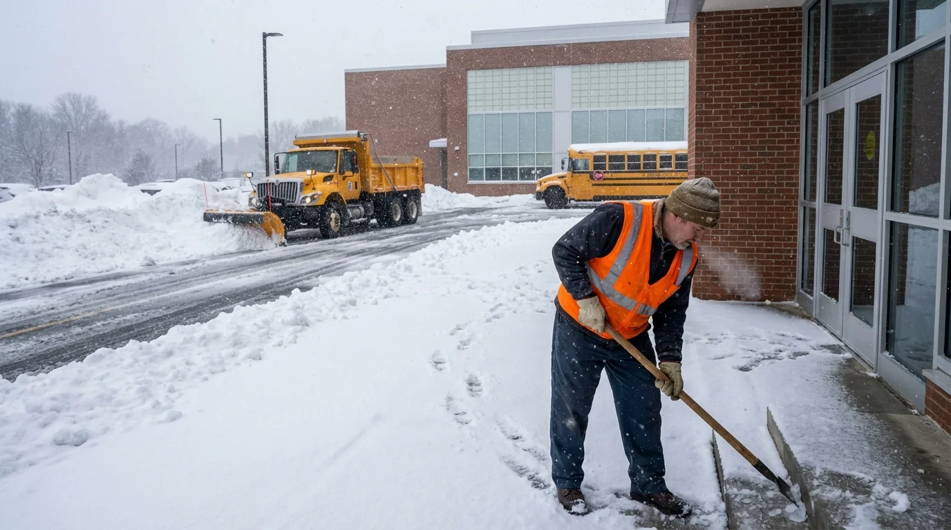
Fairfax has made gains in greener practices. Brine pretreatment uses less salt for the same effect when applied early. Newer buses, including electric units on some routes, start better in the cold and cut tailpipe emissions around schools. Those choices matter on poor air days when idling cars line up at drop off.
Parents can help reduce stress on the system. Carpool when roads improve, so fewer cars crowd slick lanes. Keep sidewalks near your home clear to reduce the slip risk. Use pet safe ice melt when you can.
The bottom line
I expect FCPS to issue a firm status update tonight or very early tomorrow. The deciding factors are simple. Ice on secondary roads, walkability to bus stops, and how much overnight refreeze occurs. Have your alerts set. Have a backup plan ready. This storm is a reminder that winter in a warming world is less about big powder and more about tricky ice. Smart planning, clear sidewalks, and patient driving will get us through the next 24 hours. Stay safe out there ❄️.


