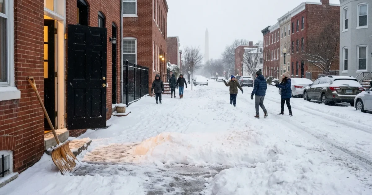
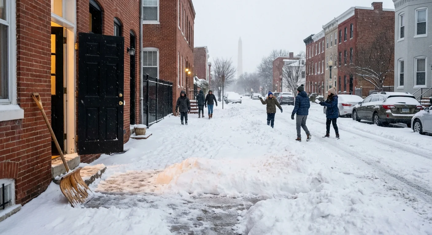
How much snow did we get? It depends on your block. Heavy snow bands are slamming parts of DC, Baltimore, and much of Maryland this afternoon. Other spots are hearing the ping of sleet on windows. I am tracking verified readings and live radar. Totals are shifting fast as the sleet line wobbles north and west. Travel is slick now, with a hard refreeze likely tonight. ❄️
Where the snow is piling up now
Snow is ongoing across the region, but it is not even. Narrow stripes of intense snow are setting up along the fall line and into the northwest suburbs. These bands drop one to two inches per hour for short bursts. Then they pivot, and another neighborhood cashes in, or misses out.
As of this hour, much of DC is seeing a split. Western and northern neighborhoods are stacking several inches. Downtown and areas near the rivers are lower, where sleet is mixing and compacting the snow. Baltimore is still mostly snow, especially north and west of the city. South and east, along the Bay, sleet and a little freezing rain are trimming totals.
Measurements vary over short distances. That is normal in a storm like this. Official readings come from trained observers and National Weather Service sites. I am watching those, along with vetted spotter reports, and updating totals as they are confirmed.
Why your street got more or less
This storm has a warm layer above the ground. Think of it like a sandwich, cold at the surface, a mild layer in the middle, and colder air above. Where that mild layer is thick, snowflakes melt into raindrops, then refreeze into sleet before hitting the ground. Sleet takes up less space, so it cuts down accumulation. A street with two inches of sleet looks like less than one inch of fluffy snow.
The Chesapeake Bay and the urban core add more heat. Water holds warmth. City buildings and pavement do too. That nudges the sleet line inland and lowers snow near the Bay and inside the Beltways. Meanwhile, higher ground to the north and west stays colder, so totals climb there.
Climate science tells us why storms like this are more common now. The air can hold more moisture as the planet warms. The Atlantic and the Bay are running warmer than average this winter. That moisture feeds bigger snow bursts when surface air is cold enough. It also sharpens the changeover zone, so we see tighter gradients, heavier bands, and more ice nearby.
Warmer oceans load storms with moisture. In winter here, that often means fatter snowflakes northwest of the cities, and more sleet near the Bay.
Travel and power impacts
Roads are slick across the region, even where crews pretreated. Snow is covering secondary roads fast inside the heavier bands. Visibility drops in those bursts as well. Tonight, temperatures will fall below freezing almost everywhere. Anything wet will ice over.
If you must drive, slow down, leave extra space, and watch bridges and ramps first. Expect scattered tree limbs down if icing grows, along with spotty power outages.
If your power flickers, keep generators outside, far from doors and vents. Ice loading could grow along the I‑95 corridor if the sleet changes to freezing rain. That risk is highest closer to the Bay and into Southern Maryland.
How to track totals and measure right
I am compiling new measurements as they come in from trained observers and official sites. The best snapshot for your neighborhood will be a mix of those and your own yard. A quick measuring guide helps keep the numbers clean.
- Measure on a flat, grassy spot away from drifts and plow piles.
- Use a ruler, take three readings, average them, then report.
- If sleet is mixing, measure depth and note sleet in your report.
- Clear a board every few hours to avoid compaction errors.
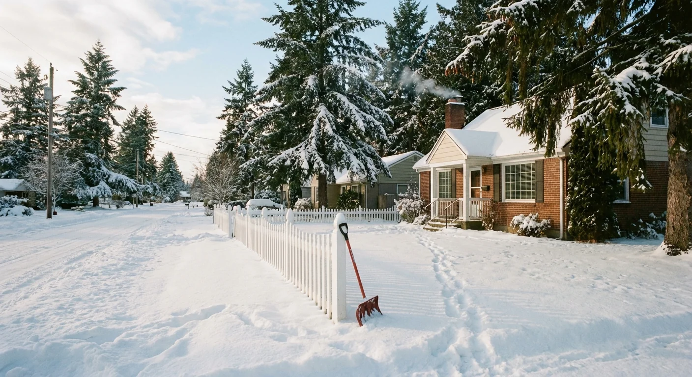
Shovel during lulls, not after the changeover. Light, fresh snow is easier to move and safer for your back. Use less salt to protect pets and streams.
One more sustainability note for later today. Road salt saves lives, but the runoff harms creeks and the Bay. Sweep up extra salt after the melt. Sand or traction blend near drains can help reduce chloride pollution without giving up safety.
What to expect next
Snow will keep falling in bursts through the evening. Some areas will flip to a sleet and freezing rain mix, mainly near the Bay and south of the Beltways. North and west, snow remains the main type, with higher totals where the heavy bands stall. Winds will stay light to moderate, so blowing snow is limited, but refreeze will be a real problem overnight.
I will continue to update storm totals as official readings post and as the banding shifts. Keep an eye on local alerts, your county DOT map, and National Weather Service advisories for changes to schools and Monday schedules. Clear a path now, check on neighbors, and stay off the roads if you can. The storm is still writing the final totals, street by street.


