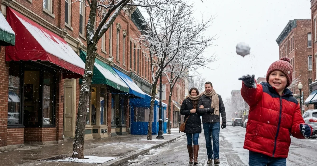
Breaking: Snow is about to begin its push across Pennsylvania, then into New Jersey and Delaware. The storm will build west to east, with the first flakes in western counties, then a steady shield across central and eastern areas tonight. Coastal spots may see rain or sleet first. Once colder air locks in, it flips to heavy, plowable snow. Travel will get worse fast. ❄️
When the snow is supposed to start
This storm arrives in waves, and timing depends on where you live. Western Pennsylvania gets it first. Expect flakes to develop there this afternoon, then turn steady by evening as bands deepen.
Central Pennsylvania follows later. Light snow or mixed precipitation will break out late afternoon, with steadier snow this evening. Roads will ice quickly after sunset as temperatures dip.
Eastern Pennsylvania, including the Philadelphia suburbs, looks next. Expect a later start, from evening into late night. The first hour may be wet and slushy. Once colder air slides in, snow will stick and pile up.
New Jersey and Delaware are last in line. Many coastal and southern areas will start as rain or sleet tonight. Cold air moves in from the northwest overnight. That will flip the mix to snow toward the pre-dawn or morning hours, with faster accumulation inland.
Winter Storm Warnings and Advisories cover much of this corridor. Where warmer air hangs on near the coast, accumulation starts later. Inland, it begins earlier and builds faster.

Accumulation timing is not the same as first flakes. If you start as rain or sleet, plowable snow may begin hours later, after temperatures drop.
How to find your exact start time in under two minutes
You can pin down your hour by hour start window with a quick check. Here is the fastest way to do it:
- Go to weather.gov and enter your town. Click Hourly Weather Forecast. Look for when the blue snow line and temperatures fall below freezing.
- Open the local NWS radar. Watch for the leading edge of echoes approaching from the west. When the band reaches your county, expect flakes within 15 to 45 minutes.
- Turn on city or county alerts. Many send push notices as the changeover to snow begins.
- If you are flying, check your airport’s status page. Pre-treating and deicing often signal delays and cancellations before snow arrives.
Save your local NWS office page and radar on your phone. It is the quickest path to timing, accumulation, and updates if the track wobbles.
What this storm is doing in the sky
A strong low pressure center is drawing Gulf and Atlantic moisture north into a dome of cold air. The cold holds firm inland, so snow begins sooner there. Near the coast, a shallow warm layer slows the change to snow until the storm deepens offshore and pulls colder air south.
That is why timing runs west to east. Expect 1 to 2 inch per hour bursts under the heaviest bands. Visibility can drop to near zero for short periods. A clap of thundersnow is possible where uplift is strongest.
The climate context
Warmer oceans feed storms more moisture. That means heavier bursts of snow when air is cold enough, but more mixing along the coast. Our winters now swing between quiet spells and high impact events. Fewer snow days, but bigger storms when patterns lock in.
This also strains stormwater systems and rivers when melt follows. Salt overuse harms creeks and bays. Smart choices today help the watershed tomorrow.
Travel and power impacts
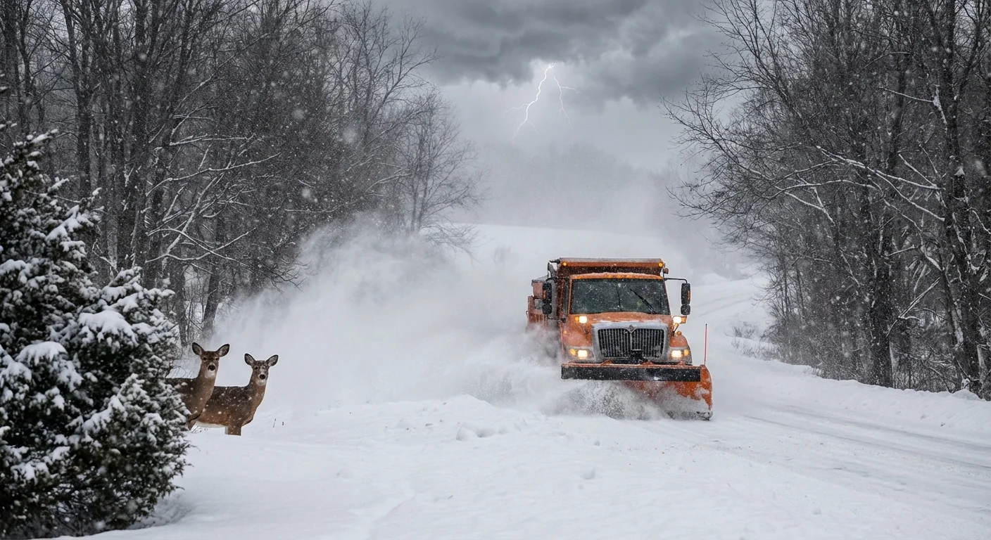
Airports, including Pittsburgh International, have begun pre-treating runways and staging crews. State and local agencies are brining roads, staffing plows, and readying tow teams. Expect growing delays, closures, and spinouts as the evening commute fades into the overnight.
Wind will increase as the storm deepens offshore. Blowing and drifting will cut visibility on open roads. Heavy, wet snow along the coastal plain can weigh down branches and lines. Scattered power outages are possible as the changeover completes.
If you must drive, slow down, use low beams, and leave space. Pack a blanket, water, and a charged phone.
What to do now
Finish errands before your window starts. Park off-street if you can. Charge phones, laptops, and medical devices. Clear outdoor vents for furnaces and dryers. Shovel early and often so you can move lighter snow, not a cement block at 2 a.m.
Use salt with care. A light, even spread works best after you scrape to pavement. Consider calcium magnesium acetate or sand on sensitive areas. Keep drains clear so melt has a place to go. If you have a generator, run it outside, away from doors and windows.
Choose transit if it is running and safe. Check on neighbors, especially seniors or those without heat. Small actions lessen risk, protect waterways, and cut carbon at the same time.
Conclusion: The storm is on our doorstep, and timing depends on your spot on the map. Western Pennsylvania is first, with the snow shield sliding across the state and into New Jersey and Delaware tonight. Use the NWS hourly graph and radar to lock in your hour. Prepare now, travel less, and shovel smarter. The cleanest, safest storm plan starts before the first flake.


