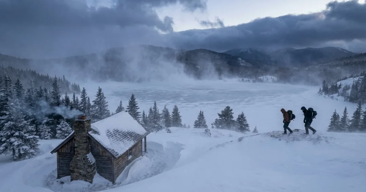
Snow squalls are on the move. A sharp Arctic front is racing south this weekend, and I am tracking fast forming whiteouts along it. The change will be brutal. One minute, blue sky. The next, a wall of snow, wind, and near zero visibility. These bursts are short, but they hit like a freight train. Travel plans need a backup now. ❄️
What a snow squall is, and why it turns deadly fast
A snow squall is a narrow, intense band of snow and wind. It forms along a strong cold front, where warm, moist air gets shoved upward by frigid air behind the front. That lift builds a quick, powerful cloud line. The result is heavy snow, gusts that can top 40 miles per hour, and a flash freeze on roads.
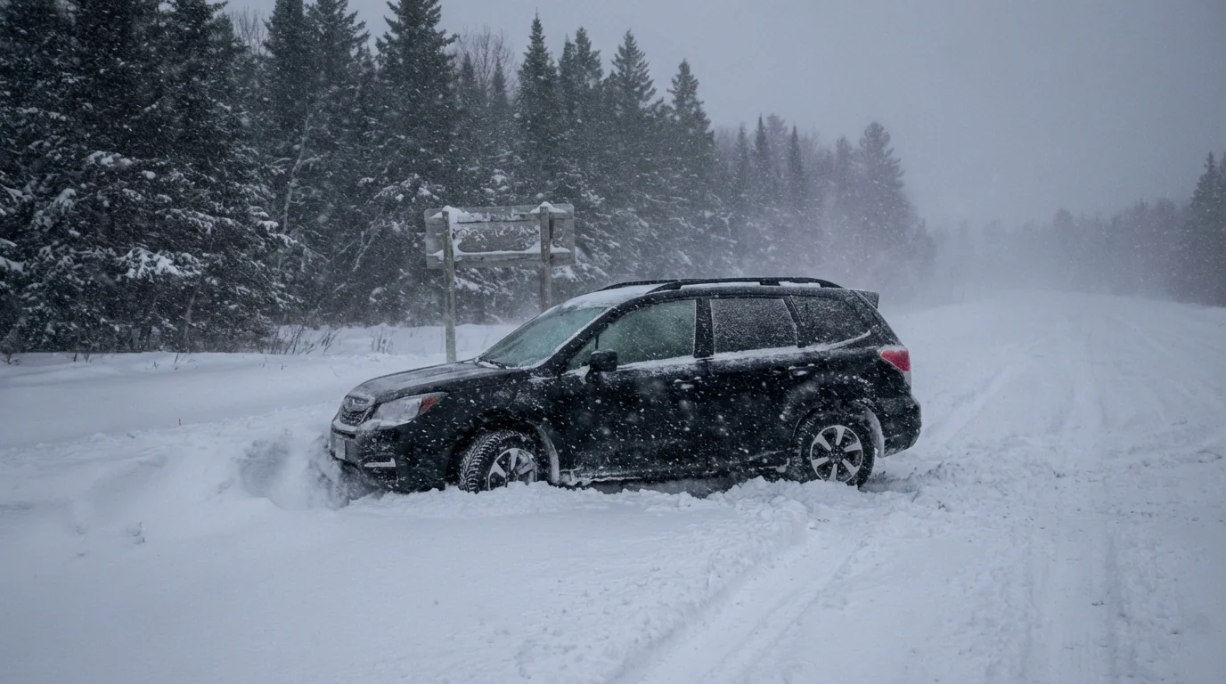
This is not a slow storm. Many squalls last 15 to 45 minutes. The danger is the sudden drop in visibility and temperature. Wet pavement turns to glare ice in minutes. Drivers do not have time to adjust if they keep highway speed.
Lake effect zones will amplify the risk. Warmer lake water feeds extra moisture into the squall line. Downwind of the Great Lakes, bands will be stronger. They will also linger longer as winds align over the same corridors.
Where and when to expect the hit
The Arctic front pushes from the northern Plains into the Midwest and Ohio Valley on Sunday. It reaches the interior Northeast late Sunday and Sunday night. Timing will vary by county, but the setup is clear. Sun and calm air ahead of the front. A rapid wind shift and a burst of snow on the line. Bitter cold right behind it.
Roads that are only wet at noon can be ice by 2 p.m. Open stretches of highway, bridges, and overpasses will glaze first. Rural routes with drifting will close quickly. Urban streets will struggle too, as plows cannot keep up with a squall that forms and fades in under an hour.
A Snow Squall Warning means whiteout conditions are imminent along a narrow corridor. Treat it like a tornado warning for drivers. Get off the road if you can, now.
Read the warning, change the plan
You may get only minutes of lead time. Your best defense is quick action. If a Snow Squall Warning hits your route, delay departure. If you are already driving, exit safely at the next ramp. Do not slam on the brakes in a white curtain of snow. That is how pileups begin.
- Slow down, leave space, and use low beams. Never use cruise control on slick roads.
- If you are stuck, stay in the vehicle with hazard lights on. Keep the tailpipe clear of snow.
- Call for help if needed. Conserve phone battery, and crack a window for fresh air.
- If visibility drops to nearly zero, pull far off the travel lane if possible.
Build a quick car kit today. Blanket or sleeping bag, phone charger, ice scraper, and a small shovel. Toss in sand or kitty litter for traction.
The climate signal, and smart choices that help
Snow squalls need two ingredients, sharp lift and cold air. The cold is arriving, no question. The lift comes from that strong front. Climate change does not cancel winter. It reshapes it. The Arctic is warming faster than the mid latitudes, which can shift jet streams and favor stronger, more erratic fronts. Lakes that stay warmer into early winter feed heavier squalls before deep freeze. Later in the season, total snowfall can drop or shift north as average temperatures rise.
This weekend highlights a new normal. Big swings. A mild day, then a hard crash. That whiplash stresses roads, the power grid, and first responders. We can lower the strain with simple steps. Preheat homes during off peak hours. Seal drafts and close curtains at night. Set thermostats to the lowest safe level. Avoid long idling. Combine errands to cut trips during the worst window.
Whiteouts end, but ice lingers. The flash freeze behind a squall can last all night. Plan Monday morning like a storm day too.
Quick prep before the line arrives
You still have time. Check tires and wipers. Top off washer fluid. Bring in pets. Charge devices. If you use a generator, test it outdoors and away from windows. Carbon monoxide is silent and deadly. Know your local alert system. Wireless emergency alerts and weather radios will flag Snow Squall Warnings fast.
Local forecasts and winter alerts will give exact timing for your town. Keep them close this weekend.
Bottom line
I am tracking a fast moving Arctic front that will fire snow squalls from the Plains to the Northeast on Sunday. Expect brief but fierce bursts of snow and wind, sudden whiteouts, and flash freezing. Change your plans when warnings arrive. If you must travel, drive like the road is hidden, because it will be. With smart timing, a ready vehicle, and respect for the cold, you can stay safe and keep the roads clear for those who need them most.


