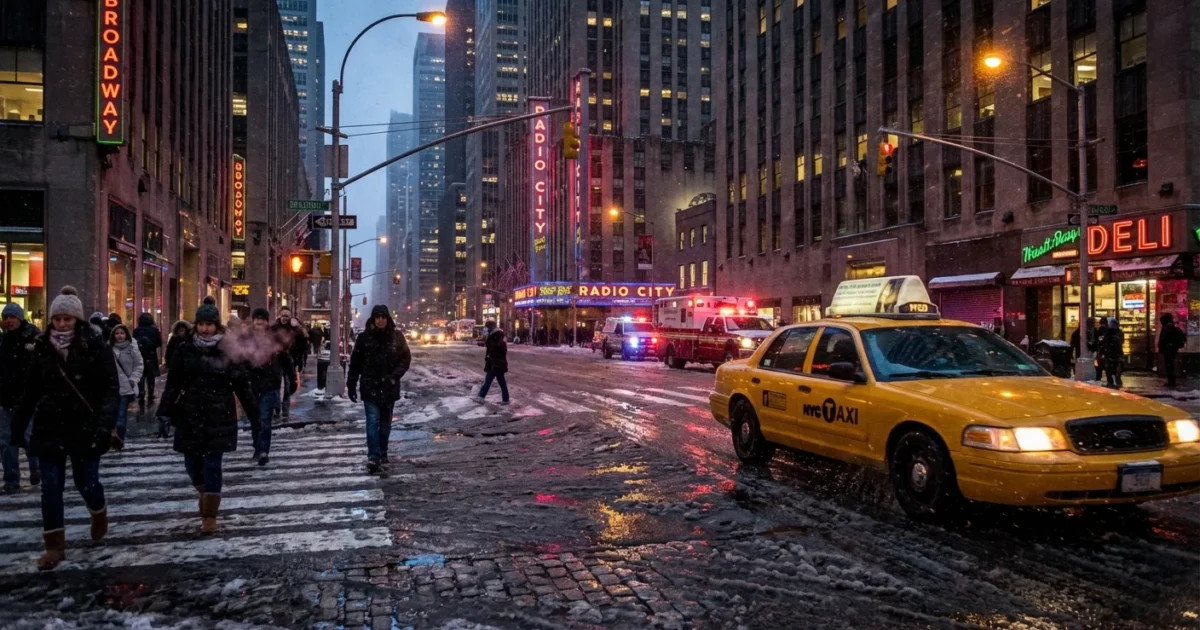
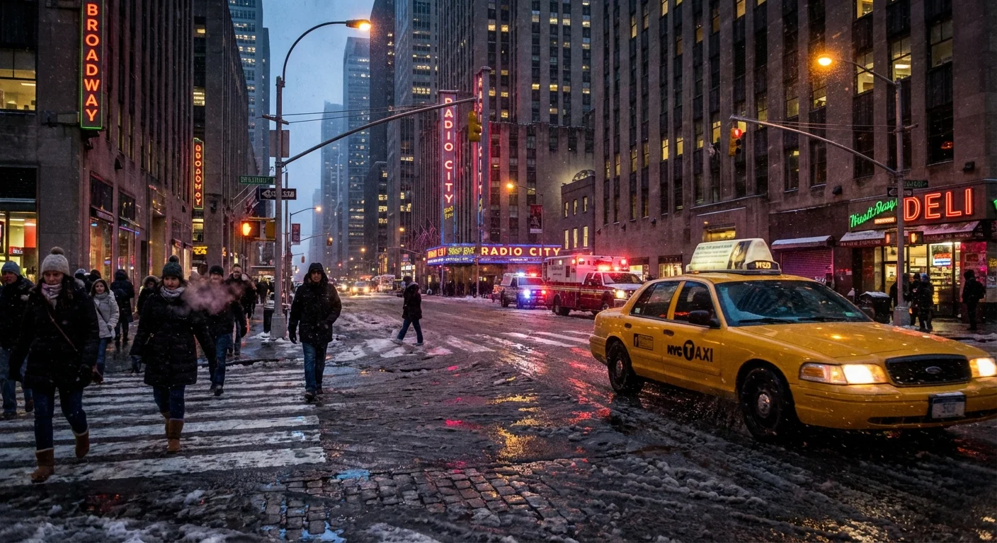
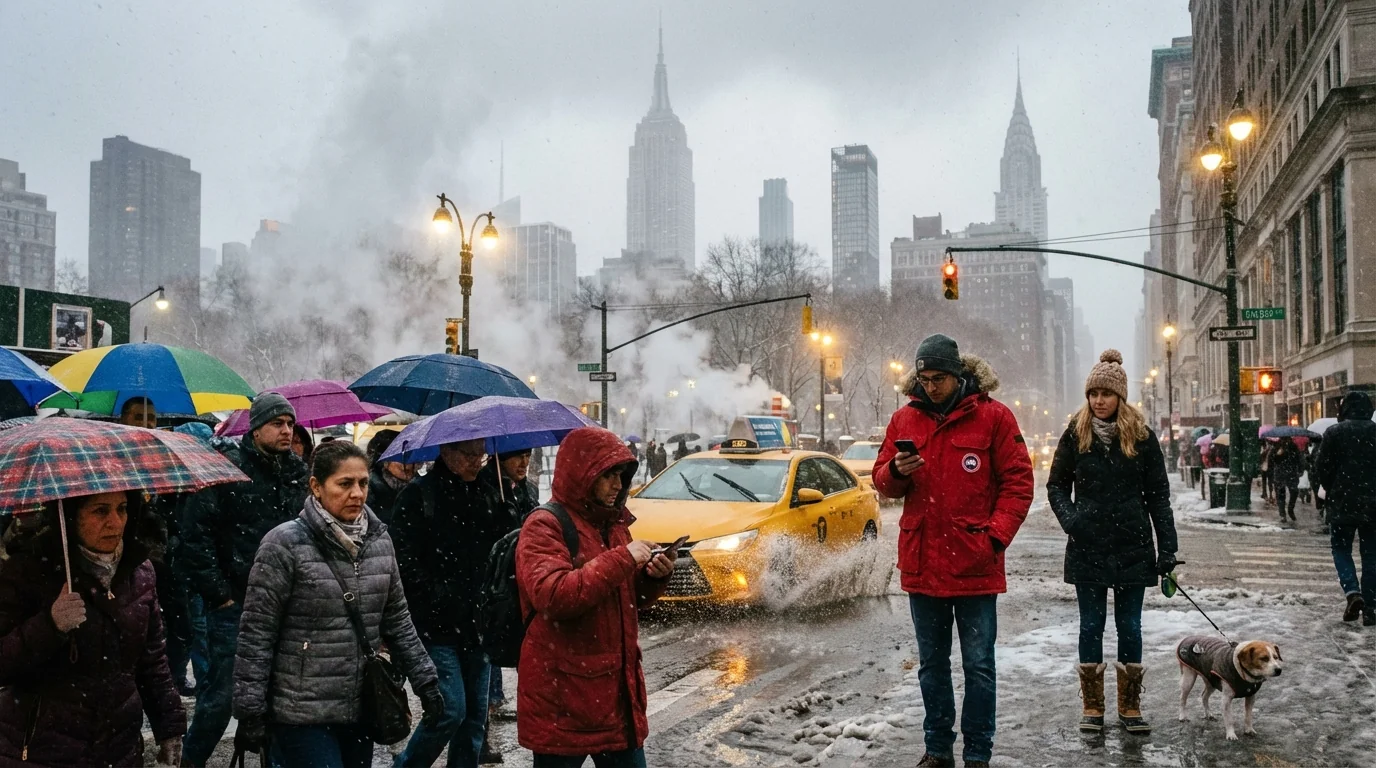
BREAKING: Heavy snow is slamming New York City, and it will not stay snow for long. A wall of moisture is pushing in this evening, dropping fast accumulations, then flipping to sleet that will grind the city to a crawl. Winds are rising, visibility will crash, and a sharp freeze will lock everything in place by morning. This is a high impact winter storm, start to finish.
Hour by hour, here is what to expect
- Late afternoon to early evening: Snow spreads across the five boroughs. Rates increase quickly. Side streets cover first.
- Early to mid evening: Heaviest snow bands move in. Near whiteout bursts, with gusts topping 35 mph. Travel turns dangerous.
- Late evening: Warmer air moves in aloft. Snow changes to sleet from south to north. Plows struggle with heavy, compacted slush.
- Overnight: Sleet dominates, with pockets of freezing rain. A glaze forms on trees and wires. Winds remain strong.
- Early morning: Precipitation tapers to flurries. Temperatures drop fast. Refreeze spreads black ice on roads and sidewalks.
Travel will be hazardous this evening and overnight. Expect slick roads, poor visibility, and sudden ice. Delay trips if you can.
Why the snow flips to sleet this time
This storm rides a coastal track that pulls Atlantic air over the city. That air is mild a few thousand feet up, even while the surface stays below freezing. Snowflakes melt in that warm layer, then refreeze as ice pellets before hitting the ground. That is sleet.
Sleet cuts snow totals, but it increases the weight of what falls. Snow that would be fluffy turns dense and heavy. Cleanup gets harder. Roof loads rise. Plows push a concrete mix that clogs corners and crosswalks.
This pattern is becoming more common in our region. A warmer atmosphere holds more moisture, which fuels intense bands of precipitation. It also pushes the rain snow line closer to the city more often. The result, more mixed storms, more ice, and more freeze thaw swings that beat up streets, rails, and pipes.
Transit and power, plan for disruptions
Expect significant delays and targeted shutdowns. Agencies are moving to protect riders and crews as conditions worsen. Outdoor rail segments will be the first to slow. Bus routes on bridge and hill corridors may pause if sleet takes over. NJ Transit is preparing temporary service suspensions on select lines during the height of the storm. Air travel is already seeing delays, with cancellations likely to grow tonight.
If you must travel, build in extra time and confirm service before you leave. Platforms and stairs will ice over quickly once the temperature drops. Pack a charger and extra layers. For drivers, remember that ABS and four wheel drive do not help on glare ice.
Charge phones now, enable emergency alerts, and set up transit notifications. Pre treat steps with sand or pet safe melt. Keep a flashlight and spare batteries handy.
The deep freeze behind the storm
Cold air surges in as the storm pulls away. Temperatures fall sharply before sunrise, then remain below freezing through the day. Wind chills will make it feel much colder. Any untreated slush will harden into rutted ice. Even treated streets can refreeze as brine dilutes.
Power outages are possible where sleet and freezing rain add weight to branches and lines. If you lose power, report it at once. Keep refrigerators closed to preserve cold. Never use an oven or grill for heat. Check on neighbors, especially seniors and those without stable heat.
The climate signal, and how we can respond
Warmer ocean waters off our coast add energy and moisture to winter storms. That often means heavier precipitation, even in colder months. But baseline temperatures are rising, which swings more events into the messy middle. We get rapid fire shifts from snow, to sleet, to freezing rain. Those shifts do not lessen impact. They change it.
Salt helps with safety, but it harms street trees and streams. It leaches into soil and carries metals into waterways. Cities can cut salt use with smarter brining, better sensors, and fast plow passes during peak rates. Homeowners can use sand for grip and clear early, before refreeze locks in.
Clear hydrants and storm drains. Keep salt away from tree pits and drains to protect roots and rivers.
Sustainable choices matter tonight too. Stay off the roads if you can. That lowers crash risk, emissions, and the need for repeated plow passes. If you must go, use transit where it is running, and be patient. Crews will be battling heavy, wet accumulation followed by ice. That is a tough combination.
Bottom line
New York City is taking a one two punch, heavy snow first, then sleet and ice, followed by a deep freeze. Stay home if possible. Shovel before the hard freeze sets in. Watch for falling branches in gusts. We will keep you updated through the night. Bundle up, check on each other, and let the plows work. ❄️💨


