BREAKING: A high impact winter storm is taking aim at the South and East from Friday into the weekend. I am tracking a surge of Gulf moisture meeting a fresh shot of arctic air. The setup points to heavy snow for some, a glaze of damaging ice for others, and a messy mix in between. Travel will be dangerous. Power disruptions are possible where ice loads build on trees and lines. ❄️
The storm setup, and why it matters
This system is organizing along a sharp temperature contrast. Cold air is pressing south from the Plains and Appalachians. Warm, humid air is lifting in from the Gulf of Mexico. That clash fuels rising air and widespread precipitation. It begins Friday and spreads east through Saturday, with impacts lingering into Sunday in colder zones.
Snow will pile up north of the storm’s track, where the whole column of air stays below freezing. Near and just south of the track, a thin warm layer aloft can melt snow into raindrops. If surface air stays below 32 degrees, those drops freeze on contact. That is freezing rain, the recipe for ice.
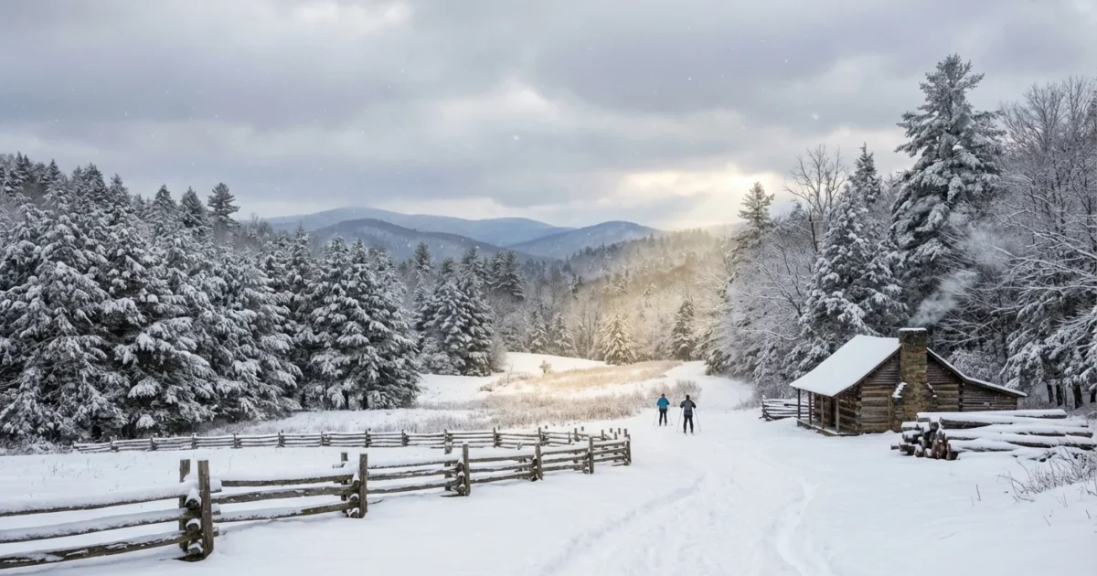
I am watching the Mid South and the southern Appalachians first, then the Carolinas and the Mid Atlantic. The exact snow to ice line will wobble as the low deepens and slides east.
Snow or ice, who is most at risk
The key is depth of cold air near the ground. A deep cold column gives you snow. A shallow cold layer with a warm slice above favors sleet or freezing rain.
- Farther northwest, expect mostly snow with high rates during the heaviest bands.
- Along a corridor from parts of the Mid South into the Carolinas, the risk of ice grows.
- Closer to the coast and across the Deep South, cold rain may mix with sleet at times.
- Elevation matters, higher ridges stay colder and lean snowy.
Ice is the wildcard. A quarter inch on branches can snap limbs. A half inch can bring down trees and lines. Roads become slick glass, even if they look wet.
Ice is quiet but destructive. If you do not have to drive, do not. Downed lines can stay live. Treat every wire as dangerous.
Why this storm could be intense
There is strong jet stream support overhead. Lift will enhance snowfall rates where cold air is deep. Gulf waters remain warmer than average for January, which loads the system with moisture. When that moisture meets subfreezing air, it can fall as heavy, wet snow. That snow sticks to branches and can add weight, especially near the snow to ice line.
This is also a climate story. A warmer atmosphere holds more water. When cold air is present, that extra moisture can produce heavier snow in short bursts. Winters in the South are warming, which pushes more events into the marginal zone. That favors mixed precipitation and freezing rain, not just snow. It is why storms like this can swing from picturesque to hazardous within a few miles.
Freeze and thaw cycles also stress trees, especially if drought weakened roots earlier in the year. Ice then exploits that stress and brings limbs down faster.
What to do before Friday
Prepare today while roads are clear and shelves are stocked. Small steps reduce risk and lower strain on the grid.
Act now, not when flakes start. The snow and ice line will shift on short notice. Build in extra time and options.
- Charge phones and backup batteries. Test flashlights. Replace smoke and carbon monoxide detector batteries.
- Set your thermostat a few degrees lower now to ease peak demand. Close curtains at night to hold heat.
- Protect pipes with insulation and slow drips in the coldest rooms. Know how to shut off your water.
- If you use a generator, run it outdoors. Never in a garage. Keep it 20 feet from doors and windows.
- Clear leaves from street drains. Use sand or sparing amounts of ice melt. Excess salt harms streams and pets.
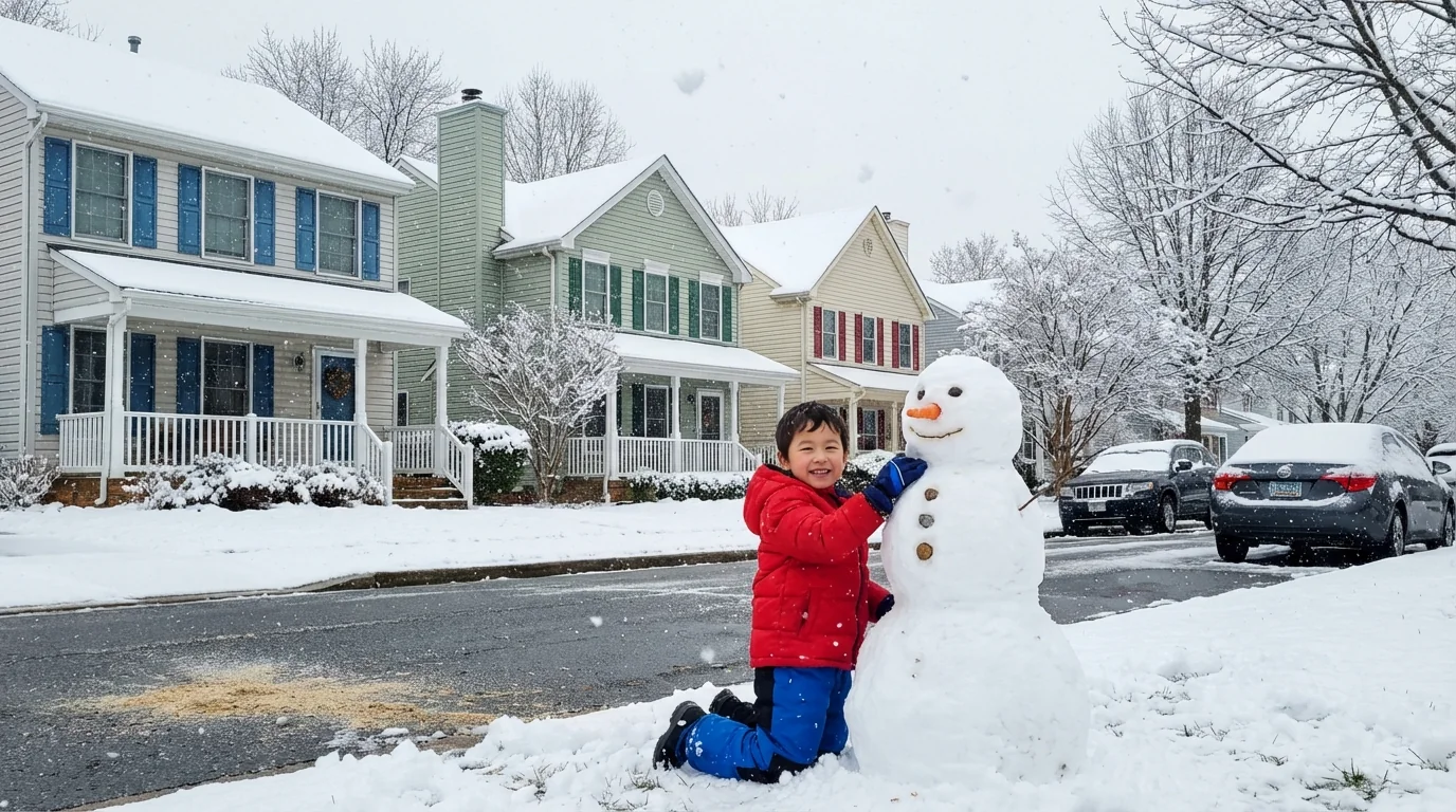
Shovel early and often if heavy snow sets up. Wet snow is heavy, so take breaks. If you have an electric snow blower, charge it ahead. If you drive an EV, precondition the cabin while plugged in, and keep the battery above 20 percent in case of detours.
What could change, and what to watch
The storm’s exact track will decide who gets snow versus ice. A shift of 50 miles can flip outcomes. I am watching surface temperatures near freezing along the I 40 and I 85 corridors, and cold air damming along the eastern slopes. As the low intensifies, banding may set up, which can double snowfall in narrow zones.
Timing remains Friday into the weekend. West to east, impacts will start earlier the farther west you are. Expect the worst travel around the heaviest bands and during any overnight freeze when slush turns to ice. Keep plans flexible. Check local forecasts often as the line sharpens.
The bottom line
A major winter event is on track for the South and East from Friday into the weekend. Expect heavy snow north and a dangerous stripe of ice near the transition zone. Plan for tough travel and scattered power issues where ice accretes. Prepare with safety and sustainability in mind, from smart energy use to careful deicing. Stay ready, stay patient, and let the storm pass before you resume normal travel. Your choices now can keep you safe and help your community ride this out. ⚠️


