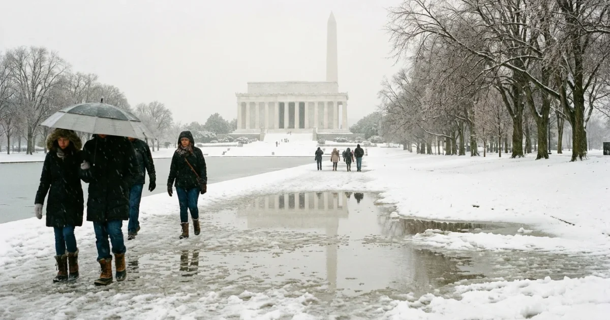
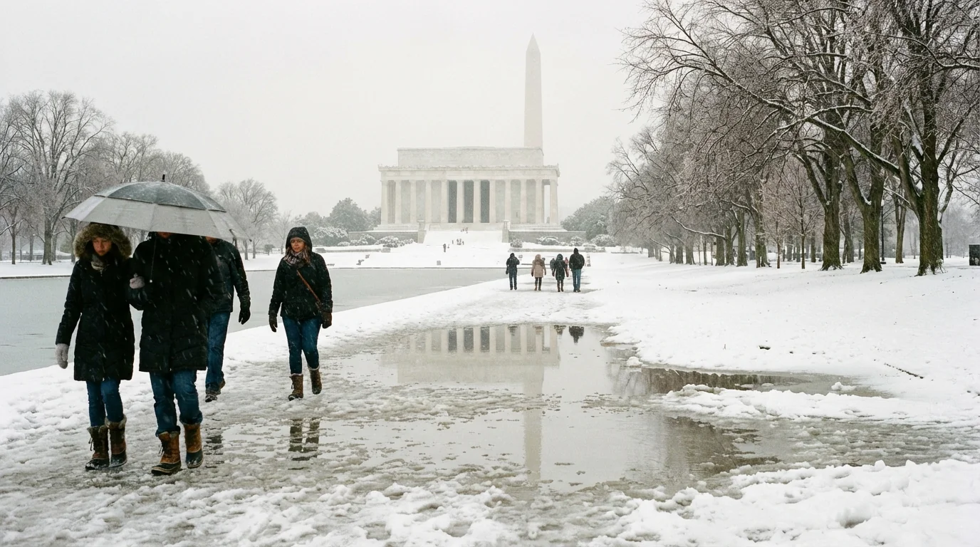
Snow turned the National Mall white this afternoon. Now the storm is changing character. A surge of warmer air aloft is sliding in over a shallow cold layer near the ground. Across Washington, DC and the Mid Atlantic, snow is giving way to sleet and freezing rain. The risk is shifting from drifts to ice.
Snow to ice, the pivot underway
If you are in the District or the close suburbs, you likely saw steady snow through the day. Roads slushed over. Sidewalks got slick. That phase is ending. The atmosphere above us has warmed just enough to melt flakes on the way down. Those drops are then freezing on contact. That is classic freezing rain.
This setup is common near the fall line. Cold air hugs the surface. Air a few thousand feet up is mild. That sandwich turns a snow day into an ice night. It also raises the stakes for travel, trees, and power lines.
The next 24 hours
Here is the window that matters for DC and nearby counties. Timing varies by a neighborhood or two, but the pattern is clear.
- Late afternoon to evening. Snow changes to sleet, then to freezing rain from south to north. Roads turn glassy. Visibility drops in heavier bands.
- Evening through late night. Glaze thickens on untreated surfaces. Baltimore starts to taper around 9 p.m., while DC eases later at night.
- Overnight. Any light freezing drizzle fades. Temperatures hold near or below freezing. Black ice forms, even where roads look wet.
- Tuesday morning. Expect patchy ice for the early commute. Side streets and bridges stay slick. Some sidewalks refreeze.
Ice on trees and lines can cause scattered power outages. Charge devices now and keep flashlights handy. Avoid downed wires. ⚠️
Travel and transit, play it safe
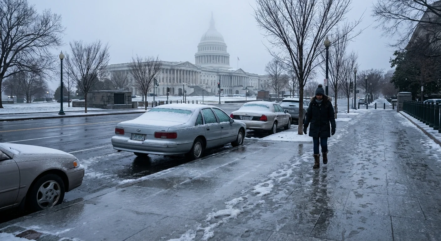
Travel conditions are hazardous through tonight. If you do not need to drive, do not. If you must, slow down, leave space, and avoid sudden moves. Bridges and ramps freeze first. Plows and salt crews are active, but ice wins in the short term.
Transit agencies are adjusting service to keep riders safe. Maryland’s MTA has announced Monday changes during the storm. Riders should expect delays and limited routes. Metro rail and bus are operating with winter plans, and headways may be longer. Build extra time into any trip. Wear footwear with grip. Carry a small bag of traction sand if you have it.
Refreezing is likely late tonight. Even treated roads can ice up before dawn. Plan for remote work if your job allows. School and government schedules may shift into delayed openings or virtual plans.
Check official alerts before you leave. Look for updated transit notices and any winter weather advisories still in effect.
Safety and sustainability
Winter storms test our habits. Small choices add up for both safety and the environment.
- Shovel early and often, then re-shovel after sleet. Clearing down to pavement reduces salt use and glare ice.
- Use calcium magnesium acetate or sand where you can. Avoid overusing rock salt, which harms pets and streams.
- Clear snow from storm drains and around hydrants. Keep meltwater flowing so it does not refreeze across sidewalks.
- Bring in or tie down bins and light gear. Ice and gusts can send objects into streets and wires.
- Conserve power during the evening peak. Lower your thermostat a notch and delay major appliances to ease grid strain.
Spread deicer like seasoning, not like fertilizer. A light, even layer works better and protects the Anacostia and Potomac. ❄️
Why this storm looks like this
The ingredients line up. Cold air pooled at the surface last weekend. A coastal low is pulling in Atlantic and Gulf moisture. Warmer air rides over the cold dome, so flakes melt above us. They hit the freezing ground as ice. The result is a quick switch from powder to glaze.
A warming climate is shaping these winter setups. Warmer oceans add moisture to storm systems. That boosts precipitation rates. At the same time, winter temperatures in the Mid Atlantic are trending milder. More storms land near the freezing mark. That means sharper rain snow lines, heavier bursts of snow, then more mixed events. It also means more ice risk, which is harder on trees, roads, and budgets.
Bottom line
The snow was the opening act. Ice is now the main hazard. Expect sleet and freezing rain this evening, tapering overnight, with a refreeze before dawn. Travel is treacherous. Transit is slowed but moving. Keep walkways clear, use deicer wisely, and watch for falling branches. This is a classic Mid Atlantic winter flip, powered by a warm, wet atmosphere. Stay patient, stay safe, and let crews do their work until the thaw returns.


