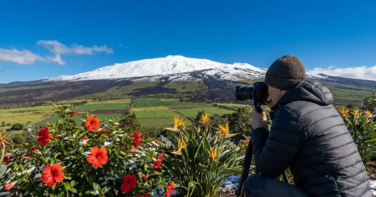
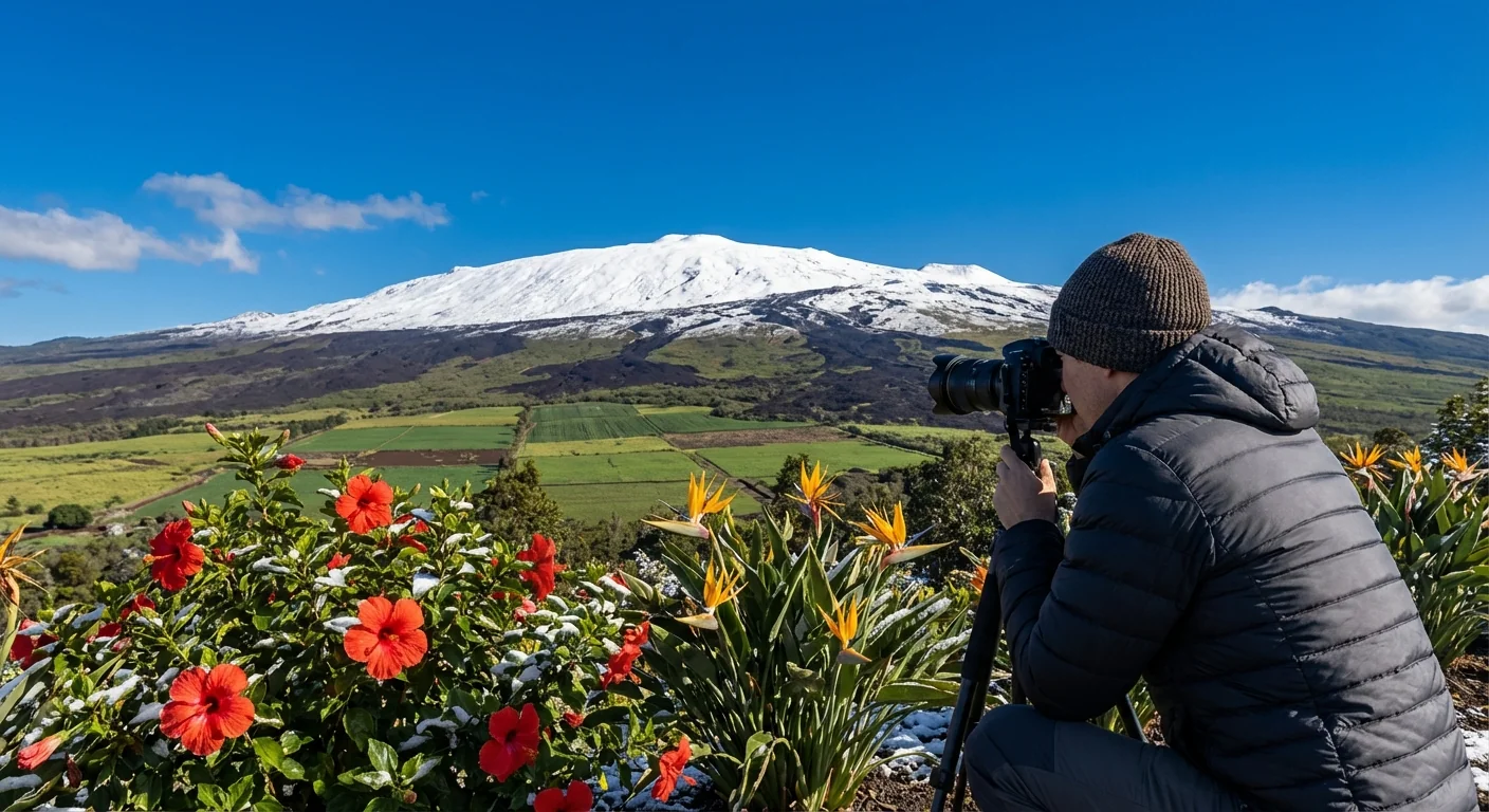
Snow in Hawaii, right now. A powerful winter storm is slamming the islands, turning the Big Island’s highest peaks white while beaches stay warm. Heavy rain, strong winds, and summit snow are hitting at the same time. It is a striking scene, palm trees below and fresh powder above. ❄️
What is happening now
Rain bands are sweeping across the state. Locally heavy downpours are soaking the windward slopes and lowlands. Strong southerly winds are bending trees and roughing up the channels. On the Big Island, the summits of Mauna Kea and Mauna Loa are cold enough for snow and ice. Whiteout bursts are possible near the observatory levels. Crews are restricting access, and that could tighten as conditions worsen.
A flood advisory for parts of the Big Island has been extended through Monday evening. Small streams can rise fast. Low spots on roads can fill with water. Coastal roads may see ponding during high tide. If you live near a gulch or drainage, stay alert.
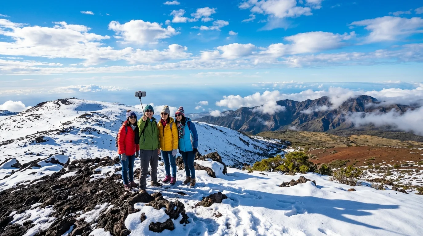
Summit travel is dangerous today. Expect slick ice, 60 mile per hour gusts, and sudden near zero visibility. Do not attempt to reach the peaks without official clearance.
Why snow can happen in Hawaii
Hawaii sits in the tropics, but the Big Island’s volcanoes are tall. Mauna Kea reaches about 13,800 feet. Mauna Loa is just under that. At those heights, air is thin and much colder. When a winter storm moves in, the freezing line can drop below the summits. Moist air rises along the slopes, cools, and turns to snow near the top. Meanwhile, beaches a short drive away stay in the 70s and see rain, not flakes.
The storm setup
This storm formed to the west and pulled deep tropical moisture north. That is a classic winter pattern here. Winds swing from the south, which pushes rain onto slopes that are usually drier. Cold air high above the islands is the key. It turns summit rain into heavy, sticky snow. When squalls pass over the peaks, snow can pile up fast. Blowing snow can build drifts and hide ice beneath.
What to expect in the next 24 to 48 hours
The storm remains slow and messy. Repeating rain bands can target the same spots, which boosts flood risk. Summit conditions will stay severe until the core of the system moves away and the freezing level lifts. Expect more road advisories, scattered power bumps, and tough interisland flights during the worst squalls.
Main hazards to watch:
- Localized flooding on the Big Island and windward slopes statewide
- Rockfall and muddy, slick mountain roads near higher elevations
- Damaging wind gusts, especially near heavy showers
- Summit icing and dangerous wind chills on Mauna Kea and Mauna Loa
Before heading out, check NWS Honolulu updates and county alerts. Charge phones, avoid stream crossings, and never drive through water. If you planned a summit visit, postpone it.
Climate context and sustainability
Snow in Hawaii is not a myth, and it is not a once in a lifetime event. It happens during strong winter storms when cold air meets moist flow. What is changing is the background climate. The ocean around the islands is warmer than in the past. Warmer seas feed more water vapor into storms. That can make heavy rain heavier. It can also lift the freezing level higher on average. When the freezing level rises, the window for summit snow gets narrower. When cold upper air lines up, though, the snow can still be intense.
This storm is a reminder of water extremes on small islands. Intense rain can recharge aquifers if it soaks in. It can also run off fast and cause erosion if slopes are bare. Choices we make now can soften the hits. Healthy native forests slow water and hold soil. Clean storm drains prevent street flooding. Thoughtful land use keeps homes and roads out of flood pathways. These are climate solutions that work today.
Local residents can act at the home scale. Clear gutters and drains. Plant deep rooted natives that hold the ground. Capture roof runoff in barrels for garden use when rules allow. Visitors can help too. Respect closures, pack out trash, and choose tour operators who follow watershed guidelines. Small moves add up when storms test the system.
The bottom line
Hawaii is wearing two seasons at once today, summer at the beach and winter on the peaks. The storm is delivering heavy rain, punishing winds, and real summit snow. Treat it with respect. Stay off the summits, steer clear of flood zones, and keep checking official updates. The weather will ease, the snow will melt, and the islands will breathe again. Until then, safety first, and eyes on the sky. 🌧️


