Snoqualmie Falls is roaring today. The waterfall is swollen with storm water, the mist is thicker, and the river is running hot and high. I am tracking a powerful atmospheric river pressing into western Washington, pushing the Snoqualmie River above critical flood thresholds and tightening an already dangerous situation for the valley.
Rivers rising fast, flood risk expanding
The Snoqualmie River surged past Phase 3 flood status late Monday. It reached about 23,430 cubic feet per second, well above the 20,000 mark that signals widespread flooding in the valley. By this morning, the river reached Phase 4. That is the most severe level used locally. It means very high water, fast currents, and a real threat to homes, farms, and roads in low areas.
Water will spread into fields first, then onto roads that sit close to the river. In spots with poor drainage, it will pond and then flow. If you live or work in the valley bottom, treat this as an immediate safety issue. Expect conditions to change by the hour.
Roads at risk
- SR 202 near the Falls and through the valley
- Moon Valley Rd SE
- Neal Rd SE
- Other low farm roads along the main stem
What is driving this extreme rain
A long, intense atmospheric river is aimed at the Pacific Northwest. It is tapping deep tropical moisture, then wringing it out over the Cascades and lowlands. On the five-step atmospheric river scale, this event sits near Category 4 to 5. That signals both strength and duration. The plume stretches thousands of miles across the Pacific and keeps feeding showers and heavy bands into western Washington.
Rainfall totals this week may challenge December records in places. When warm, wet air runs into the west slopes of the Cascades, the lift turbocharges rain rates. Rivers react fast. The Snoqualmie’s three forks gather that water and deliver it quickly to the valley and the Falls.
This fits a pattern we have been reporting on for years. Warmer oceans load more moisture into storms. A warmer atmosphere holds more water. When that water falls out, it falls harder. The result is fewer gentle rain days and more blockbuster events like this.
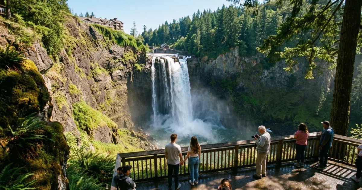
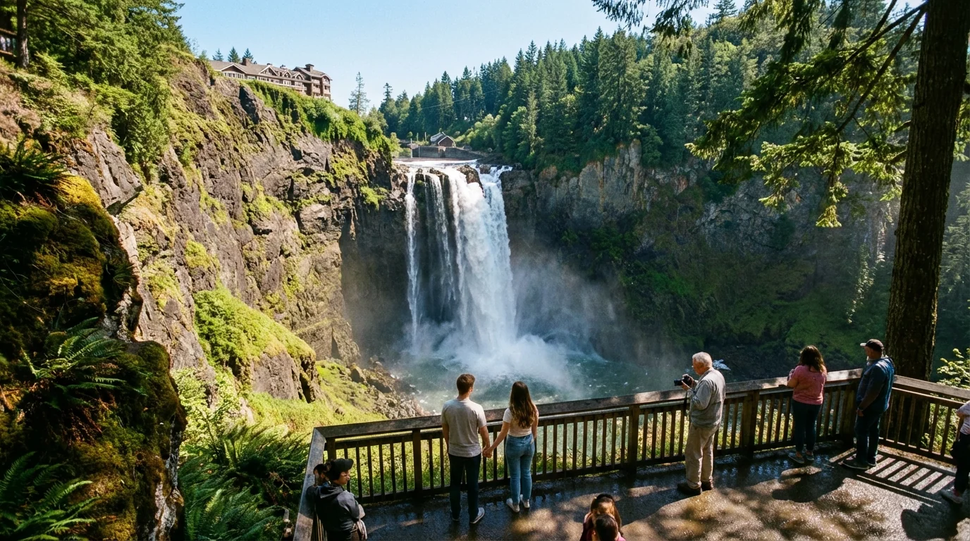
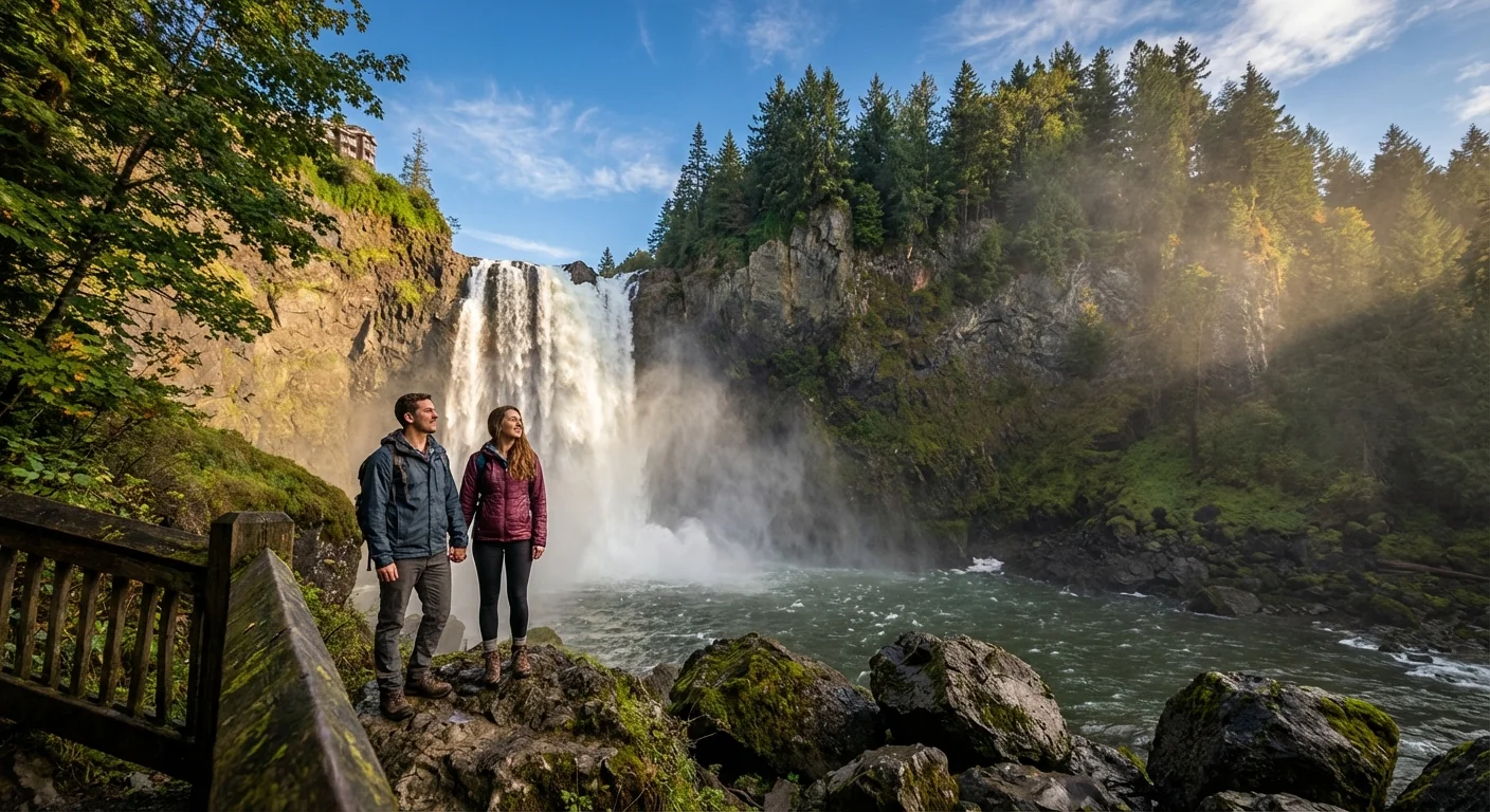
Safety and access at the Falls
Puget Sound Energy has closed the lower observation deck and the boardwalk for safety and maintenance. The structure needs work, and high flows make the area risky. The upper viewpoint remains open at this hour, but that can change if spray, wind, or debris increase. Trails are slick. Parking lots can flood along the edges in heavy bursts.
If you visit, expect strong spray and sudden gusts near the brink. The roar can mask other hazards, like falling limbs or shifting water on paths. Keep children close. Keep pets leashed and away from the edge.
The lower boardwalk and lower observation deck are closed for safety and maintenance. Do not enter closed areas.
The next 48 hours and what to do now
The core of the atmospheric river will pass slowly. That means the river may rise in steps, then plateau before it drops. Landslides are also possible on steep, saturated slopes. Nighttime brings poor visibility and faster cooling, which raises risk.
- Never drive through flood water. Most flood deaths happen in cars.
- Turn around on closed or flooded roads. Barricades mean danger, not delay.
- Move equipment, animals, and valuables to higher ground now.
- Check on neighbors in low areas and those who need help.
- Follow local alerts and be ready to leave if told to evacuate.
For real-time river levels and closures, use the King County Flood Warning Center and sign up for local alerts on your phone.
Long term, building resilience
Storms like this test our choices. Floodplains want room. When we set levees back, restore side channels, and protect wetlands, the river has space to spread out without hitting people and roads as hard. Forest health matters too. Healthy headwaters slow runoff, hold soil, and release water more evenly. Cities can help with green streets, bigger culverts, and smart growth that avoids the deepest flood zones.
This week is about safety. The months ahead must be about rebuilding smarter, not just higher.


