Breaking now, a sharp line is slicing this winter storm in the Carolinas. On one side, sleet rattles off windshields. On the other, a clear glaze of freezing rain is sealing roads, trees, and power lines in ice. The difference is not just the name. It is the outcome that decides who keeps power, who skids, and which forests bend or break tonight.
What is happening now
I am tracking a mixed bag of wintry precipitation across the Southeast. Cold air is shallow at the surface. Warmer air is riding above it. That setup turns a simple snow forecast into a knife edge.
Communities only a few miles apart are getting very different hazards. Some hear the noisy tap of sleet. Others watch quiet, invisible drops that freeze on contact. The storm’s slow movement means conditions will shift hour by hour.
How a warm nose flips the switch
Here is the driver you cannot see. A warm nose is a layer of air above freezing that sits above the ground. Snowflakes fall into that layer and melt into raindrops. What happens next depends on the depth of the cold air near the surface.
If the bottom layer is deep and cold, the drops refreeze before they land. That is sleet. If the bottom layer is thin and cold, the drops stay liquid until they hit roads, trees, and wires. That is freezing rain. A change of just one or two degrees, or a few hundred feet in depth, can flip the result within minutes.
Sleet vs freezing rain
Sleet
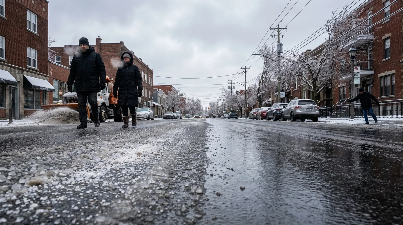
Sleet starts as snow high up. It melts into rain in the warm nose, then refreezes into tiny ice pellets before reaching the ground. It bounces. It can sound like static on your jacket. It piles up like coarse sand and cuts visibility.
Roads get slick, especially on untreated lanes and bridges. Plows and salt can manage sleet better than glaze ice. It still slows traffic, but it does not usually bring down trees or wires.
Freezing rain
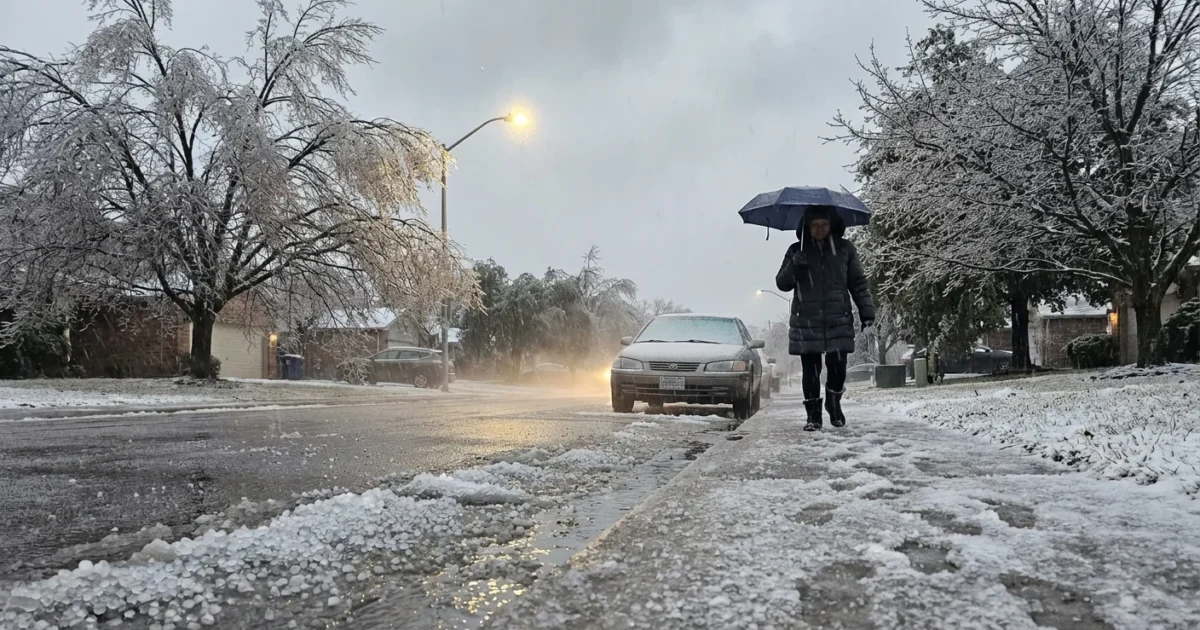
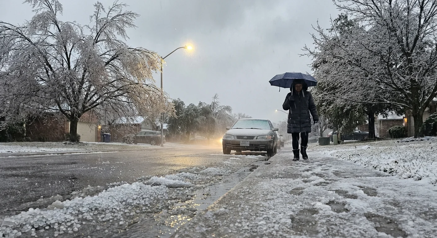
Freezing rain is sneaky. Drops fall as liquid through a warm layer, then pass through a very shallow cold layer near the ground. They freeze on contact with cold surfaces. That creates a clear, glassy coating called glaze.
Glaze ice adds dangerous weight to trees and lines. A quarter inch can snap small limbs. Half an inch can bring widespread outages. Footing becomes treacherous. Driving becomes a high risk, even at slow speeds. This is the more dangerous outcome in most storms.
Freezing rain is the top threat tonight. Expect falling limbs, power outages, and impossible travel where glaze forms.
Impacts and infrastructure
Sleet mainly affects travel. It grinds under tires and mutes sound. Crews can clear it with plows. Salt helps, since pellets are easier to break up. The environmental cost from salt is still real, since runoff can stress streams and soils.
Freezing rain is different. It is a stress test for the grid and for urban forests. Ice accretes on lines, transformers, and trees, then gravity does the rest. Broken limbs block roads and can harm wildlife habitat. The recovery can take days. Tree species that hold leaves longer, like some oaks, carry more ice load and fail first.
Warmer winters are changing these odds. Climate science shows the Southeast is seeing more winter storms with a warm layer aloft. That raises the share of mixed precipitation. More water in the air from a warmer ocean also boosts the icing risk when near-surface air stays cold. Communities that rarely saw ice in the past are now on the edge more often.
Resilience is not optional. Grid hardening, smarter tree trimming, and buried lines in key corridors reduce outages. Cities can choose deicing mixes that cut salt use and protect waterways. These choices pay off every winter.
What to do now
- Delay travel where freezing rain is likely. If you must go, slow down and leave space.
- Stay clear of trees and lines during icing. Branches can fail without warning.
- Charge devices, gather flashlights, and prepare for outages. Do not use generators indoors.
- Conserve energy to ease grid stress. Lower thermostats a few degrees and delay heavy use.
- Use deicer sparingly. Sweep up excess salt to keep it out of streams.
If pellets bounce, it is sleet and traction may be patchy. If surfaces gloss over and look wet but shine like glass, it is freezing rain. Treat that as black ice and stay put.
Strong finish to a volatile night depends on small details in the sky. I will keep watching that warm nose and the thin layer of cold air at the surface. The line between sleet and freezing rain is moving, street by street, town by town. Act on what you see at your doorstep, and choose safety first. The climate is nudging more storms into this mixed zone. Our response, and our planning, must catch up. ❄️🧊


