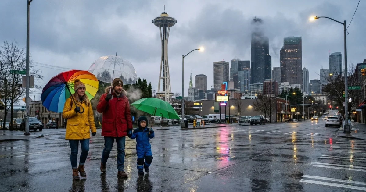
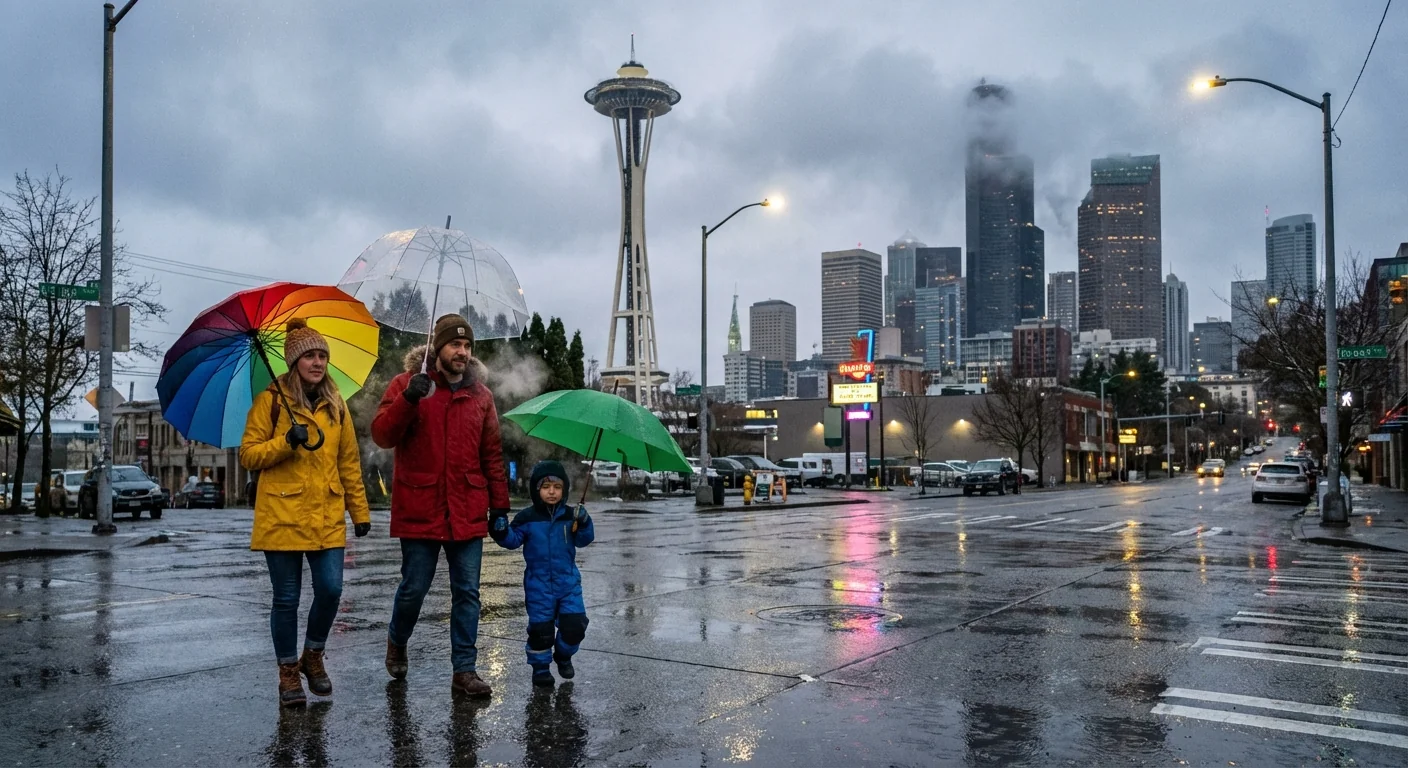
Breaking now, a powerful Pacific storm is slamming Western Washington. Rain is sweeping across Seattle and winds are building. In the Cascades, snow is stacking fast. Blizzard warnings are up for the highest corridors. Snoqualmie Pass is on track for 10 to 15 inches by tonight. Travel will be tough, and in spots, it may be impossible.
What is hitting Seattle right now
Moist air from the Pacific is pushing into cool air over the region. That mix is the spark for today’s messy weather. Expect steady rain across the lowlands, with gusts near 30 to 40 miles per hour along the water. Neighborhoods inland will still feel a stiff breeze.
Temperatures in the city will hover in the mid to upper 30s. That keeps most of Seattle in rain. Brief wet snow is possible at daybreak or late tonight on the hills, especially north and south of the Ship Canal, but it will struggle to stick on main roads. A fast-moving cold front follows the heaviest rain. That front will drop snow levels toward 1,000 to 1,500 feet by tonight, and even lower in bursts.
Passes under fire
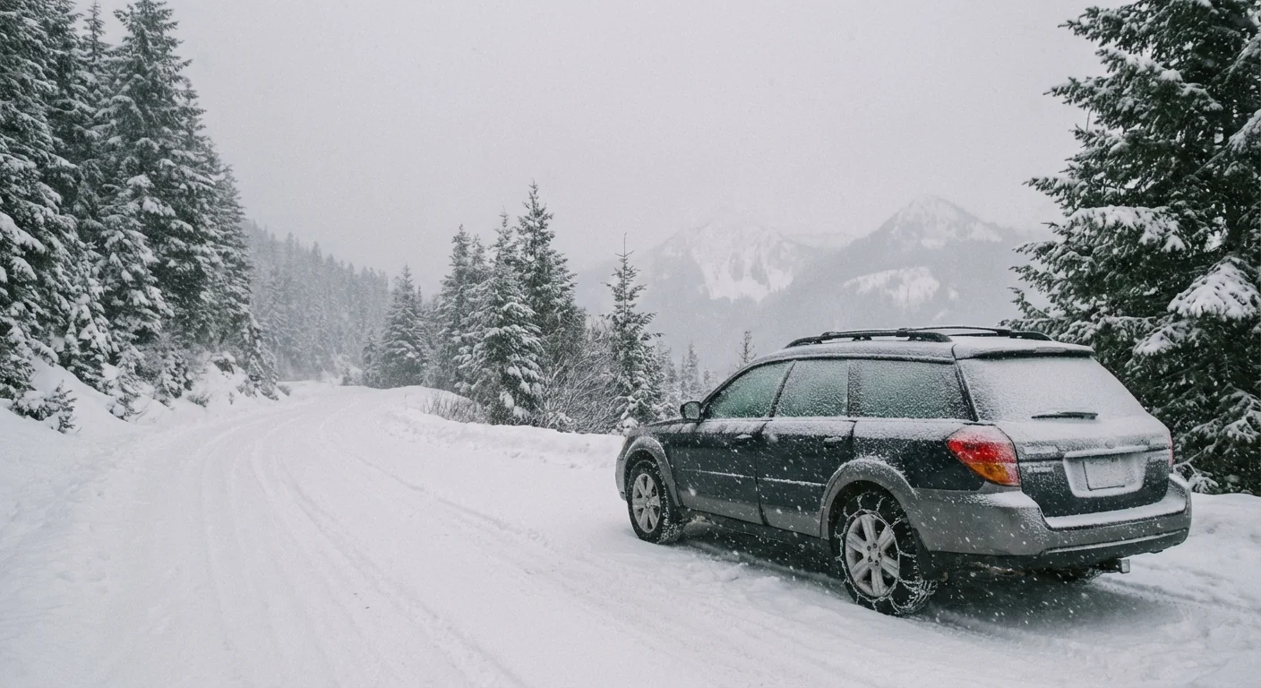
The mountains are the main story. Wind and snow are combining to create whiteouts at times. Snoqualmie Pass is expected to get 10 to 15 inches. Stevens and White Pass will also pile up heavy snow. Chain or traction requirements are likely. Plows will work nonstop, but visibility can drop to zero when gusts lift powder across lanes.
Avalanche danger will climb as dense new snow loads weak layers. Road closures for control work, even full closures, are on the table if squalls align with strong winds. If you plan to cross, time your trip with great care, pack warm gear, and be ready to turn back.
Mountain travel may shut down with little notice. Carry chains, extra food, and a full tank. Do not push through whiteout conditions.
Will the lowlands see snow
A small shift in the storm track or temperature can flip the script around Puget Sound. If colder air undercuts the next band, a quick burst of wet snow could touch the city’s edges. That is most likely late tonight into early morning, on the hills of Kitsap, northern Snohomish County, and the higher parts of south King County. Grassy spots could whiten. Main roads will likely stay just wet in the core metro.
What to watch
Watch for a short lull after the first rain, then a sharp drop in temperature as winds turn north. That is the window for a quick mix. If you see flakes, expect them to fade fast once the next wave of onshore air arrives. The story is different above 500 to 800 feet, where sticking snow is more likely.
The climate signal behind the storm
This is winter in a warming world. Our storms now carry more moisture, which means heavier bursts of rain at sea level and thicker snow higher up when cold air cooperates. Freezing levels swing more wildly too. We get a soggy day in the city, then a sudden dump in the passes when a colder pocket slides in. That whiplash lifts flood and landslide risk after long wet spells, and it makes snowpack more boom and bust.
Snowpack is our summer water bank. Big storms that drop rain on snow can erase that bank fast, and that threatens salmon, farms, and hydropower later in the year. Today’s system will help the pack, not hurt it, but the pattern of extremes is the red flag. It is one reason our infrastructure and habits must adapt.
What to do today
You can cut risk and stress with a few smart moves. Stay flexible, check conditions often, and avoid peak travel over the mountains. If you must go, gear up and leave extra time. In the city, secure outdoor items, clear storm drains, and prepare for scattered outages as trees sway in saturated soil.
- Real-time resources to watch: state DOT cameras, pass reports, the regional avalanche center, and your local forecast.
- Prep list for the car: chains, shovel, warm layers, headlamp, phone charger, snacks, water.
- Home steps: charge devices, find your flashlights, test smoke and carbon monoxide alarms, set the fridge colder.
- Commute choices: consider transit, work from home if possible, and avoid unnecessary trips during the windiest hours.
Bookmark the state DOT travel map, pass camera pages, and the avalanche forecast before you leave. A 60 second check can save hours.
The bottom line
This storm is here, and it is strong. Expect a wet, windy day in Seattle, and heavy, wind-driven snow in the Cascades. Mountain travel will be hazardous, with periods of zero visibility and rising avalanche danger. Lowland snow is a low confidence risk, but not zero, especially late tonight on higher hills. Plan for power flickers, plan for slow roads, and give crews room to work. Our weather is changing, and days like this show why preparedness, smart travel, and climate resilience matter. Stay safe, and stay tuned. Snowflakes and raindrops will trade places again before this system finally moves on. ❄️🌧️


