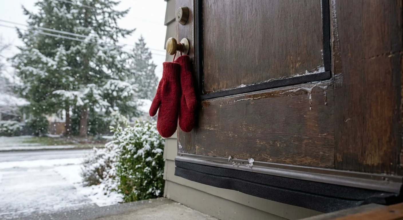
Breaking: Seattle wakes to a sharp, bright cold. A deep chill grips western Washington through the weekend. The cold weather advisory now runs through Sunday morning. Nights will land near or below freezing. Wind will keep it feeling like the teens in exposed spots. Bundle up, plan ahead, and move with care. ❄️
Cold grip tightens through Sunday morning
Arctic air continues to drain into the lowlands from interior British Columbia. East and northeast winds are funneling through the gaps, especially the Fraser. Clear nights are letting heat escape into space, which drives temperatures down fast after sunset. Even as days begin to lengthen, the air mass stays stubbornly cold.
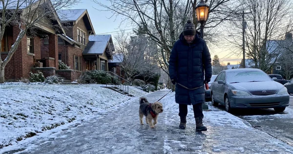
Today marks the last sunset in the 4 pm hour this season. A small morale boost. But the longer light will not warm your evening walk yet. Expect frosty mornings and icy side streets. Sidewalks that thaw a bit in the afternoon can refreeze into slick sheets by dawn.
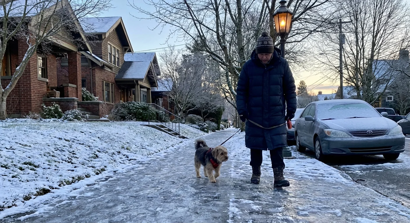
Wind chills will bite on waterfronts and hilltops. If you are heading out early or late, cover skin, wear a hat, and layer up. Pets need short trips and dry paws. Check on neighbors who may need help with heat or transport.
Black ice is most likely before sunrise and after sunset, especially on bridges, overpasses, and shaded lanes. Slow down and give extra space.
Roads and commutes
This pattern favors icy patches over wide snow. That can be more dangerous, since ice hides in plain sight. Brake gently. Keep speeds steady on curves. And do not assume a wet shine is only water.
- Carry an ice scraper, flashlight, and a small bag of grit
- Treat your sidewalk with sand or bird safe deicer, not rock salt
- Clear frost from all windows before driving
- Watch for cyclists and walkers dodging slick spots
For those using transit, leave extra time. Platforms and stairs can be slick. Wear shoes with good grip and keep a hand on rails. If you bike, lower tire pressure a bit and avoid metal grates.
Staying warm, safely and sustainably
Cold nights are when home energy choices matter most. Heat pumps will run longer in this air, but remain efficient if you keep filters clean and doors closed. If you use space heaters, plug them into wall outlets, keep them three feet from anything that can burn, and never leave them on while you sleep.
Drip indoor faucets on exterior walls to prevent pipe freezes. Open kitchen and bathroom cabinets to let warm air reach plumbing. Close curtains after sundown to lock in heat. On sunny afternoons, open south facing blinds to catch free warmth.
Set thermostats a degree or two lower, wear a warm layer, and use a programmable schedule. You will stay comfortable and cut peak demand on the grid.
Simple fixes help now and next winter. Add weather stripping around doors. Seal gaps at the baseboard that leak cold air. If you live in a drafty home, a certified energy audit can point to upgrades with the biggest payoff.
Where to warm up now
Warming centers and emergency shelters are operating across the region during this advisory. Hours and entry rules can vary by site. Community centers, libraries, and some faith based halls are opening doors for daytime relief. Overnight options exist for unsheltered neighbors, with additional capacity during cold snaps.
- Check your city or county website for locations and hours
- If you are unsure where to go, call 211 for local guidance
- Bring ID if you have it, and any needed medications
- Pets may be allowed at some sites with carriers or leashes
If you see someone in distress from the cold, call 911. Hypothermia can develop quickly in this wind. Look for shivering, confusion, and slurred speech.
Climate context and what comes next
Yes, the planet is warming. Cold snaps still happen in a warming world. A hotter Arctic can disrupt the polar jet, which sometimes opens the door to brief blasts of cold air in the Pacific Northwest. At the same time, our winters are trending milder and wetter overall. That shift changes mountain snowpack and summer water supplies.
This weekend shows how climate and weather can collide. Efficient heating, tighter homes, and resilient grids keep people safe while cutting emissions. Street trees and healthy soils help cities manage freeze thaw stress and stormwater. Personal choices matter too, like taking transit on icy days and using gentler deicers that protect salmon streams.
The bottom line is clear. The advisory holds through Sunday morning. Expect freezing nights, icy roads, and raw wind. Prepare your home. Move carefully outside. Use warming centers if you need them. Light is slowly returning, but the cold is not done yet. Keep safety first, and look out for each other.


