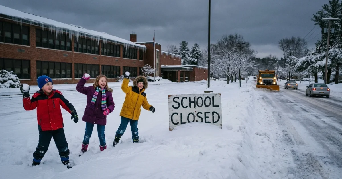
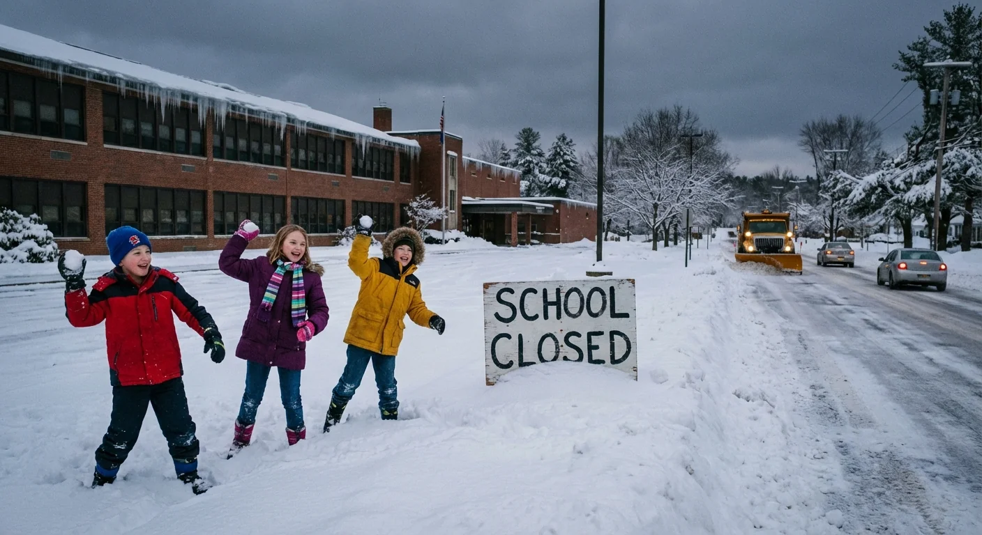
BREAKING: Widespread school closings hit Michigan tomorrow as lake‑effect snow and ice hazards intensify
Families across Michigan’s Thumb and the Saginaw Bay region will wake up to closed schools tomorrow. I have confirmed full day closures for Wednesday, December 10, in multiple districts after a fast building mix of snow, wind, and refreeze created dangerous travel. Bus routes will be treacherous before sunrise. Side roads will be worse.
Districts closing include Bad Axe, Caseville, Cass City, Harbor Beach, North Huron, Owendale Gagetown, Ubly, Unionville Sebewaing, Elkton Pigeon Bay Port Laker, and the Huron Technical Center. Akron Fairgrove, Caro, Kingston, Mayville, Millington, Reese, Vassar, and the Tuscola Technology Center are also closed. Decisions were made this afternoon as road crews flagged ice bands and low visibility in lake effect zones.
What we know right now
Cold air is sweeping across the warmer waters of Lake Huron. That fuels narrow snow bands that can drop fast inches over short distances. Under those bands, visibility can fall to less than a quarter mile. Winds will push drifting across open farm fields and onto roads.
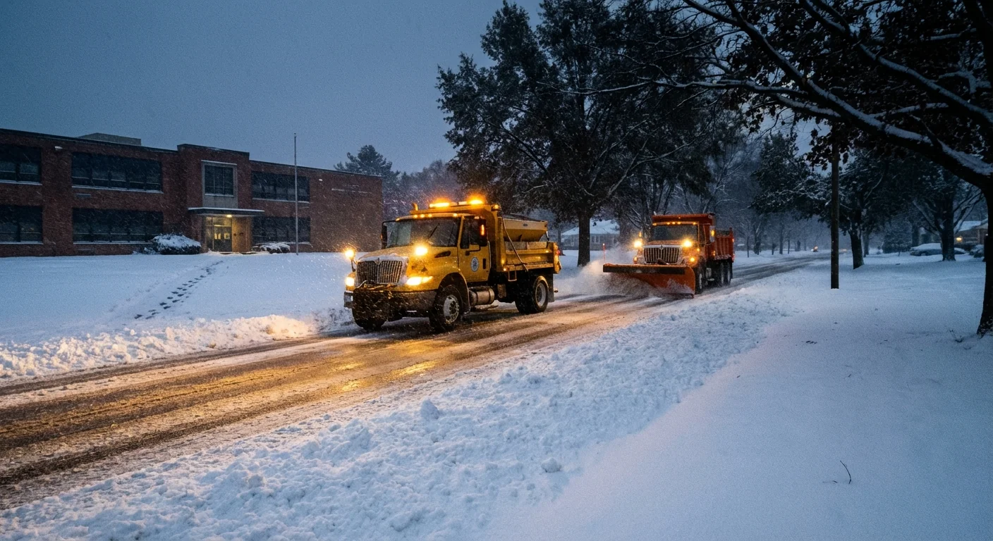
The bigger problem is the refreeze. Melting from midday treated roads will freeze again after dusk. Black ice is likely on bridges and untreated shoulders. Early bus runs and staff commutes would face the highest risk, so districts pulled the plug now rather than at 5 a.m.
Power outages are possible where snow clings to lines and where gusts shake iced branches. Plan for spotty service in rural stretches.
Why this storm is hitting harder
Lake effect is simple. Very cold air moves over a warmer lake, then clouds build and snow funnels inland. This week, lake temperatures remain above average for December. That adds extra moisture and energy, which can supercharge narrow bands. The result, short bursts of heavy snow that shift by the hour.
Climate change does not stop winter. It changes it. Warmer Great Lakes hold heat longer into December. That can mean stronger lake effect bursts, followed by longer periods of freeze and thaw. Those swings turn slush into glare ice, which is far more dangerous than deep powder on paved roads. Schools are seeing more of these marginal mornings, where ice calls the shots.
If you do not need to drive before sunrise, do not. Give plows and salt trucks room to work, and slow down if you must go.
How to confirm your school’s status quickly
Here is the fastest way to verify closings and plan your morning. Follow this order so you get official answers first.
- Check your district’s website or official app. Home pages show the status banner within minutes of a decision.
- Make sure your phone is enrolled in district text or voice alerts. Update contacts for all caregivers.
- Tune to your local TV or radio station during the evening and early morning scrolls.
- Look at the latest alert from the National Weather Service for your county, then check the county road commission update.
- If you still have questions, call your school’s main line after 6 a.m., not the bus garage line unless told to.
Create a family plan tonight. Set alarms, pack a simple snow day kit, and line up a backup caregiver if you must work.
Safety and sustainability at home
Keep the heat steady, not high. A small bump of two degrees is plenty during a short cold snap. Avoid space heaters near curtains. Never run a car in a closed garage to warm up.
Shovel early in the evening, then sprinkle sand or pet safe traction on steps. That reduces salt use, which protects local streams and soil. If you can, combine errands later in the day once roads improve. Fewer trips mean less traffic during plow operations and lower emissions.
Check on neighbors who rely on rides to work. A quick text can make a difference on an icy morning.
What comes next
Light lake effect will fade and shift overnight, then rebuild with new wind lines near dawn. Temperatures will dip into the teens inland, so anything wet will freeze hard. Districts that closed today will review conditions by mid morning. Any updates for Thursday will post by late afternoon or by 5 a.m. the next day.
I will keep tracking road sensors, plow reports, and the next burst of lake effect. Expect another round of patchy ice even after the main snow ends.


