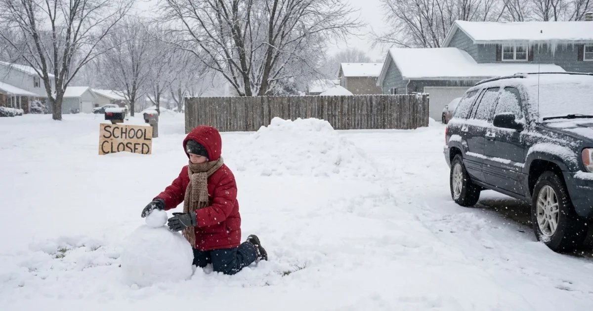
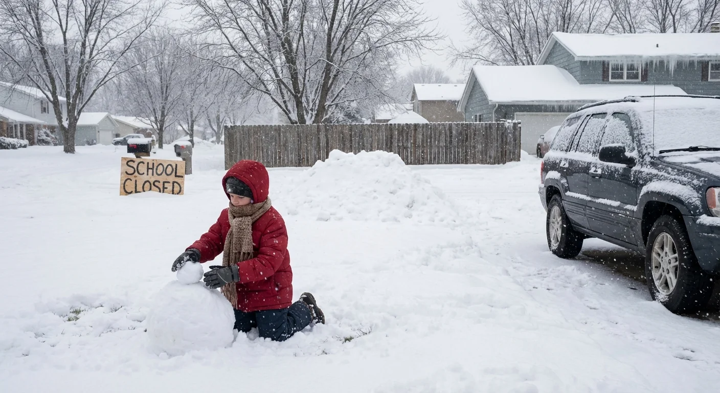
Breaking: A fast moving winter storm is forcing schools across the Mid Atlantic, Midwest, and Great Lakes to change plans for Wednesday, December 10, 2025. Heavy snow, sheets of freezing rain, and strong gusts will arrive with a sharp drop in temperature. Roads will ice fast. I am tracking a wave of early dismissals, two hour delays, and full closures. Many districts will decide late tonight or at dawn, after road checks and staffing calls.
What is happening tonight and tomorrow
Arctic air is racing south, while warmer, wetter air rides above it. That setup means snow to the north, a thin band of ice in the middle, and cold rain to the south. The storm stretches from West Virginia and Virginia into North Carolina, across Minnesota and Iowa, and into southeast Michigan.
Snow will stack up quickly where bands persist. In the ice zone, a glaze may form on bridges and shaded roads. Once the front passes, temperatures fall fast. Wet pavement can flash freeze into black ice. Blowing snow will cut visibility in open country, and lake effect bands will kick up east of the Great Lakes.
Why districts are closing and delaying
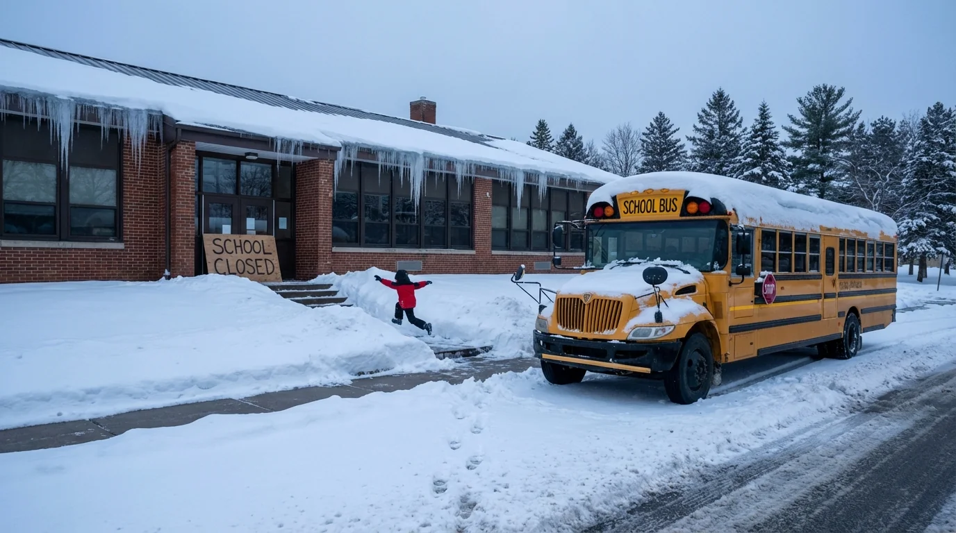
Safety on the roads is the first test. Superintendents work with transportation leads and public works crews. They look at bus routes, hills and bridges, and the timing of the worst bands. If wind gusts top 35 miles per hour, drifting can block rural roads. If freezing rain coats lines and trees, outages can shut school buildings even if roads look passable.
Staffing matters too. If buses cannot start, or if key roads are closed, schools cannot open. Heating problems can also force a closure when temperatures plunge. Many districts also choose early dismissal to beat the heaviest afternoon snow or a forecast flash freeze.
If your child waits at a bus stop, plan for wind chill risk. Cold wind pulls heat from skin fast, even above zero.
How this storm fits a warming climate
A warmer atmosphere holds more water. When storms form near the freezing line, that extra moisture can fall as heavy, wet snow. That is why big snow can still happen in a warming world, especially when surface temperatures hover near 30 to 34 degrees.
Warmer fall lake temperatures also add fuel. Open water feeds cold air with heat and vapor, which boosts lake effect snow. At the same time, rapid swings are more common. When cold air rushes in after rain, freeze and thaw cycles create black ice and break up pavement. Scientists are studying how a wavier jet stream, linked to Arctic warming, can lock in these sharp swings.
What families should do now
Decisions will continue through the evening and into the early morning. Prepare for all outcomes, then adjust when your district posts the final call.
- Set alerts in your district app, bus app, and local emergency system. Confirm your contact info tonight.
- Pack a quick remote kit. Charge devices, gather chargers, headphones, and any paper packets teachers sent home.
- Plan child care for a delay or early dismissal. Share pickup plans with coaches and after school staff.
- Prep the home for power bumps. Charge phones, check flashlights, and keep freezers closed if the power blinks.
- Review cold weather gear. Hats, gloves, dry socks, and traction on boots reduce frostbite and slips.
Put the car away with a full tank, a scraper, a small shovel, and a blanket. Keep an extra phone charger in the glove box.
Avoid downed power lines and flooded underpasses. Do not try to drive over black ice. If you cannot see the road surface, slow down.
Where to get reliable updates
Use official district channels for final decisions. Websites, mobile apps, text alerts, and robocalls carry the first word. Many districts post by late evening when possible. If conditions change overnight, expect an early morning update between 5 and 6 a.m.
City and county pages post road advisories, plow progress, and closures. Transit agencies report route changes. Utilities share outage maps and restoration times. If you rely on school meal programs, check for grab and go plans or community site hours when buildings close.


