BREAKING: San Diego Braces for the Week’s Strongest Storm, Rare Flood Risk in Play
San Diego is staring down the strongest storm of the week, arriving into Christmas Eve. I am tracking a deep Pacific moisture plume moving straight at the county. The setup points to heavy rain, rapid runoff, and a rare high risk of flooding across parts of Southern California. Expect fast changing conditions and hazardous travel. This is a get ready now moment.
The setup, and why this storm is different
A broad Pacific low is steering a fire hose of subtropical moisture into the region. That moisture will wring out over the coast, valleys, and foothills. Rain rates could spike quickly, even where skies look calm at first. Timing centers on late today through Christmas Eve, with lingering showers after.
Warmer air holds more water. That is the climate signal at work. Ocean heat and a strong jet stream are boosting this storm’s capacity for intense rainfall. San Diego’s hills and paved surfaces raise flood risk further, since water cannot soak in fast enough.
Expected impacts in San Diego
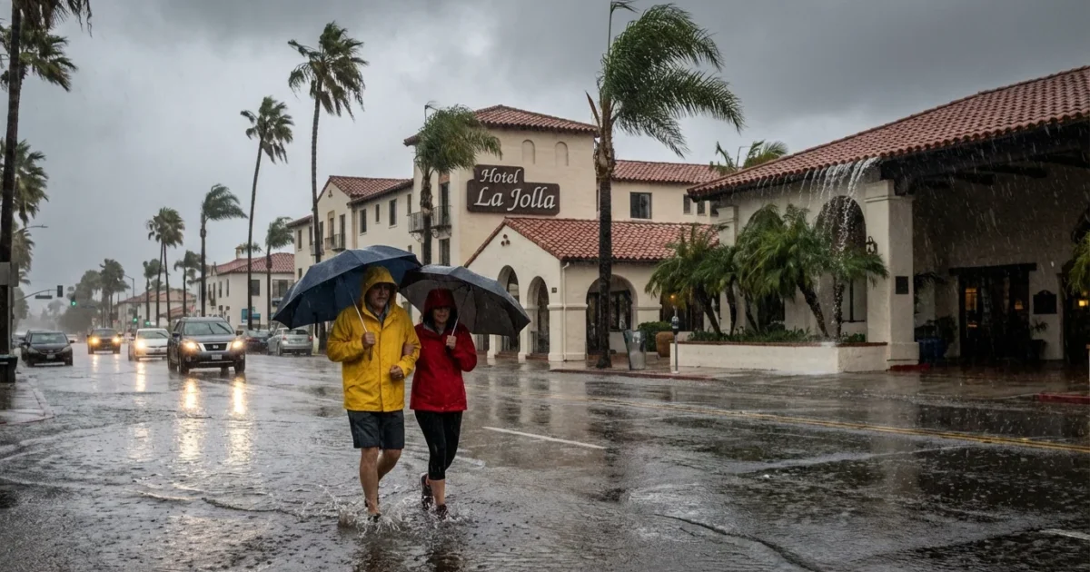
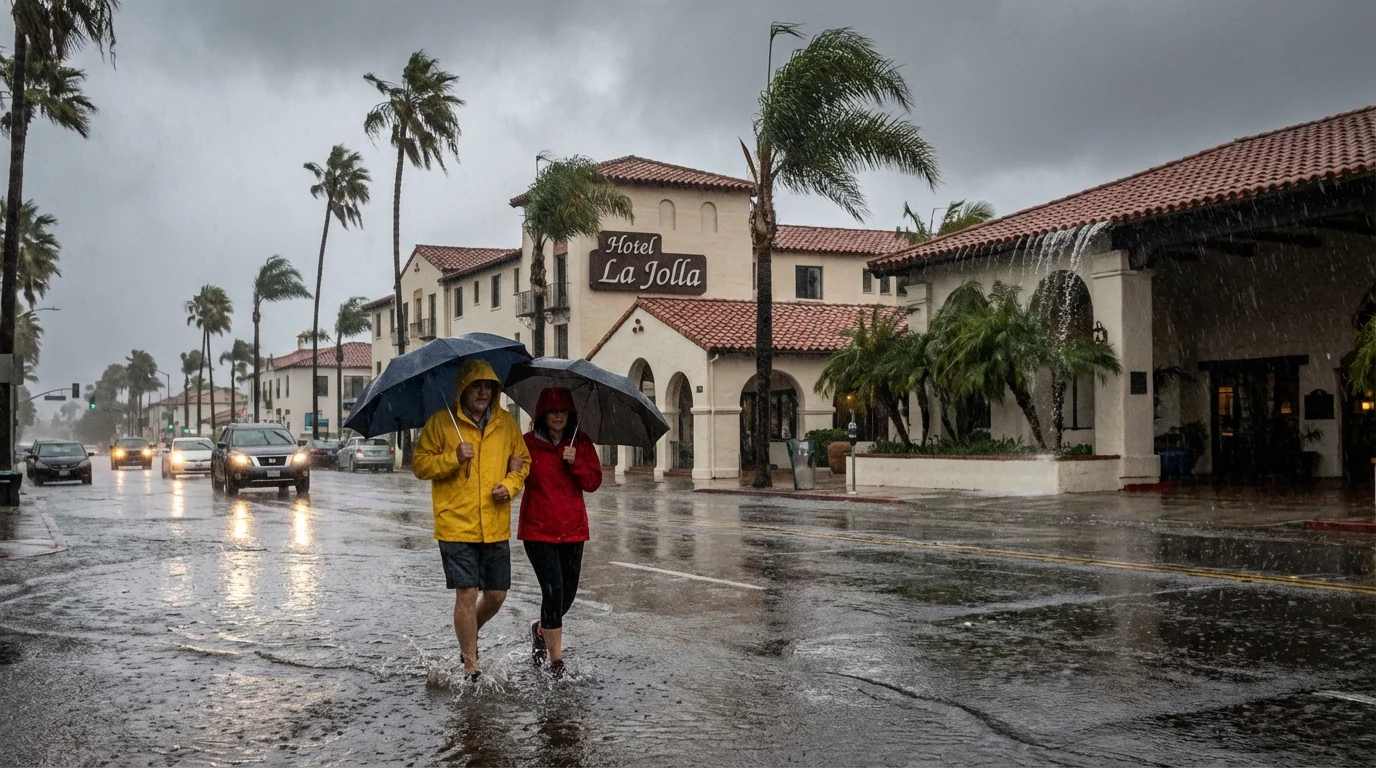
Coastal and inland neighborhoods should prepare for several hours of heavy rain. Totals near the beaches and valleys may reach 1 to 3 inches. Foothills and mountain slopes could see 3 to 5 inches, with isolated higher pockets. Brief thunderstorms are possible, which can double rain rates over a small area.
Flooding and mudslide concerns
Flash flooding is the top threat, especially along small creeks and in low spots. The San Diego River in Mission Valley often reacts fast during strong storms. Recent burn areas in East County are vulnerable to mud and debris flows. Hillside neighborhoods and canyon roads will be at risk when soil loosens.
Never drive into a flooded roadway. Water may be deeper and faster than it looks. Turn around, do not risk it.
Coast, surf, and wind
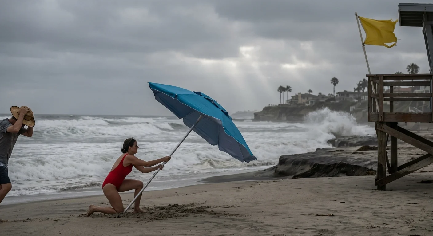
Look for strong onshore winds, 20 to 35 miles per hour at times, with locally higher gusts. High surf and coastal flooding are possible during high tides. Beach erosion will increase, and rip currents will be dangerous. Tie down loose holiday decor and secure patio items.
Power and travel
Expect slick roads, ponding, and reduced visibility. Spin outs and sudden lane closures are likely on the 5, 8, 15, 52, and 805. Tree limbs may come down in gusts, which could cause scattered power outages. Pack patience if you are traveling for the holiday.
Prepare now, with a simple checklist
Move on this before the heaviest rain arrives. Small actions today reduce damage tomorrow.
- Clear gutters, downspouts, and curb drains
- Charge phones, power banks, and medical devices
- Elevate valuables in garages and ground level rooms
- Stock water, shelf stable food, batteries, and first aid
- Secure trash bins, holiday lights, and outdoor furniture
If an evacuation warning or order hits your area, follow it. Have a go bag ready for your household and pets.
- Know two routes to higher ground, not just one.
- Keep car fuel above half a tank, or charge above 60 percent.
- Leash pets, crate carriers, and pack food and meds.
- Lock doors, unplug non essentials, and leave early if told.
Map your nearest high ground now. Check storm drains on your block, and team up with neighbors to keep them clear.
How to stay informed in real time
Enable Wireless Emergency Alerts on your phone. Sign up for AlertSanDiego and ReadySanDiego notifications. Track official updates from National Weather Service San Diego. For roads, check Caltrans QuickMap and city closure notices. For outages, monitor SDG&E alerts and prepare for brief blackouts. Keep a battery radio ready for NOAA Weather Radio.
If you live near creeks, canyons, or the San Diego River, watch water levels closely. If you see rapid rises, move to higher ground without delay. Do not wait for a knock at the door.
Why storms like this are getting stronger
Our region is warming. A warmer atmosphere holds more moisture, which powers heavier downpours. The Pacific has also been running warmer, feeding storms with extra energy. When a strong jet steers that moisture at us, the result is intense rain in a short window. Urban pavement speeds runoff into channels and streets, increasing flash flood risk. Green infrastructure, like rain gardens, bioswales, and expanded stormwater capture, can blunt these surges. Today’s storm is a sharp reminder to invest in that resilience.
San Diego has done this before, and we know what works. Clear drains, protect hillsides, and respect evacuation guidance. Use this storm to improve your plan for the next one, because extremes are becoming more common.
Conclusion
The strongest storm of the week is here, and flood risk is real. Keep your plan simple, act early, and look out for neighbors. If you are in a flood prone area, be ready to move. We can get through this holiday storm with smart choices, steady updates, and a focus on safety. Stay dry, San Diego, and stay alert. ☔️


