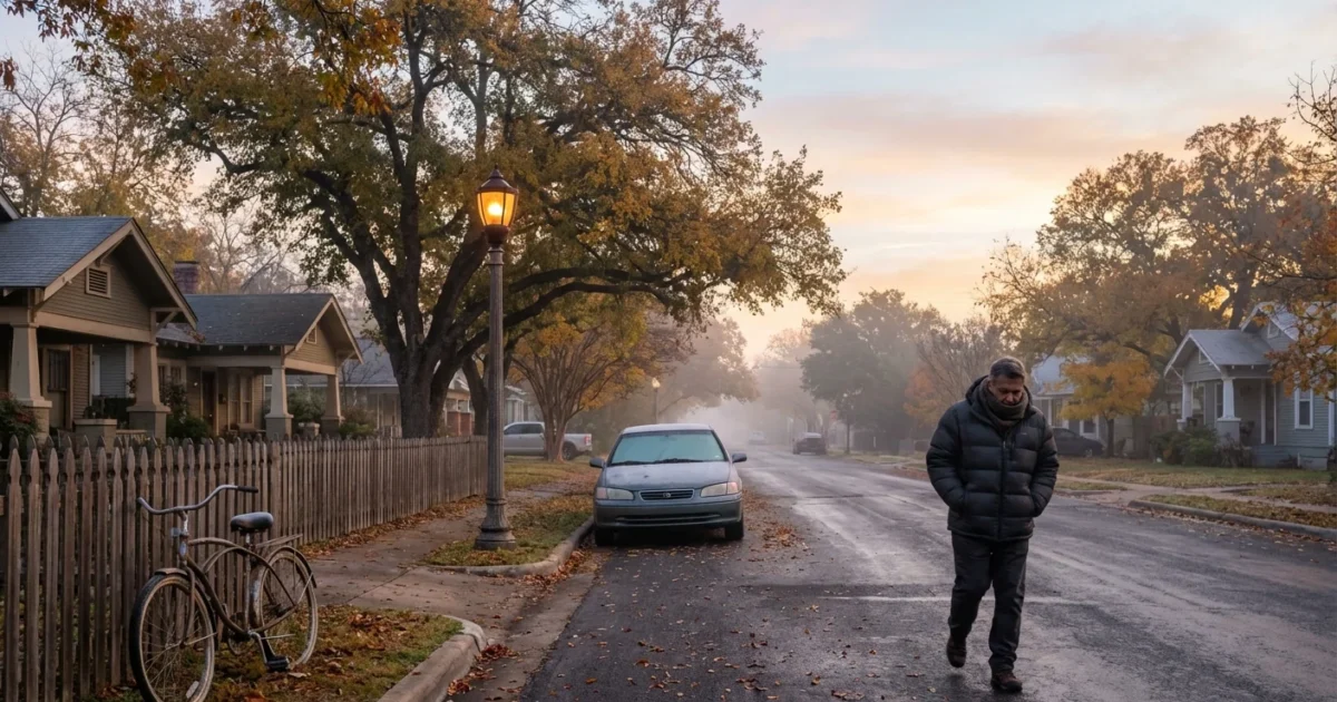
BREAKING: A sharp cold front is dropping into San Antonio right now, and it is moving fast. Temperatures will fall hard, by as much as 20 to 30 degrees in a few hours. Strong winds will rip through the city. Expect a quick flip from warm and muggy to cold, dry, and gusty by early morning. Winter will feel close enough to touch. ❄️
What’s happening and when
I am tracking a tight line of cold air pushing south across the Hill Country into the I‑35 corridor. The front reaches the north side first, then spreads citywide before sunrise. Once it passes your block, the change is immediate. Northwest winds surge, dew points crash, and the sky clears from north to south.
Behind the boundary, winds will run 20 to 30 miles per hour, with higher gusts. Wind chills will land 10 degrees lower than the actual temperature. Dress for the wind, not the number on your phone.
If you are out late, plan for a quick chill around you. If you are up early, plan for a colder commute, rough crosswinds on elevated roads, and longer braking distances from fallen leaves and grit on lanes.
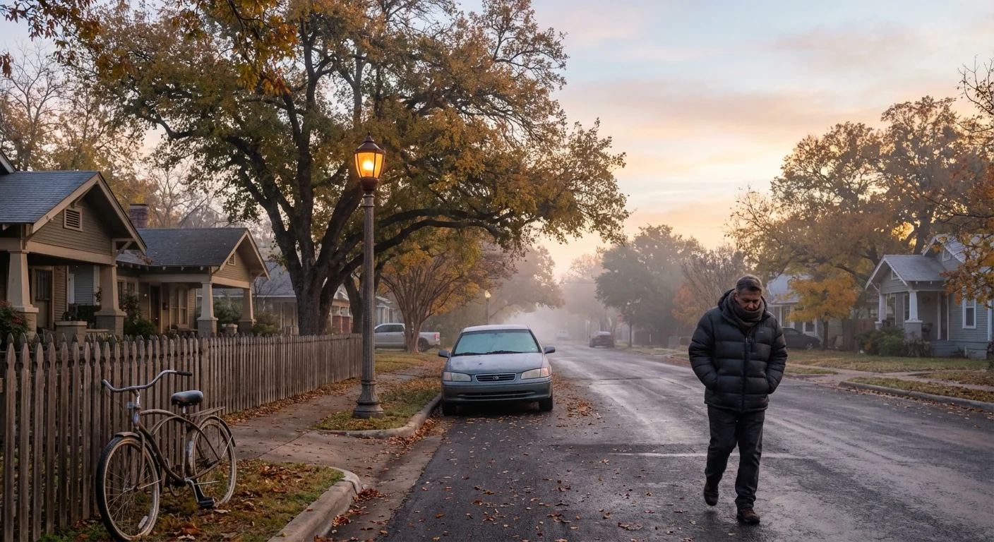
Gusts can topple light lawn furniture, trash bins, and unsecured job site materials. Park away from large trees. High‑profile vehicles should reduce speed on flyovers and bridges. Construction zones will be hazardous in crosswinds.
Why this front hits so hard
This is a classic Texas snap. Cold, dense air is pouring off the Plains into warmer, wetter Gulf air. That sharp contrast creates a narrow zone of rising motion, then a punch of wind as the cooler air undercuts the warm layer. The result is a steep drop and a restless sky.
Our warming climate adds an extra twist. Warmer Gulf waters feed more moisture into South Texas air. That extra moisture raises dew points ahead of fronts. When the front arrives, the drop feels sharper, and the pressure jump can drive stronger gusts. These swings are the new normal, a sign of a hotter baseline colliding with old seasonal patterns.
The air behind the front is dry and crisp. That will clear out haze and pollen, which helps breathing. It will also raise fire danger in open, grassy areas, especially west of the city. Avoid any outdoor burning and keep trailer chains off the pavement.
What to do in the next 12 hours
You have a short window to get ready. Focus on warmth, wind safety, and smart energy use.
- Grab layers and a wind‑blocking jacket.
- Bring pets and plants inside. Check on older neighbors.
- Secure patio furniture, umbrellas, and holiday decorations.
- Top off your car and charge phones and medical devices.
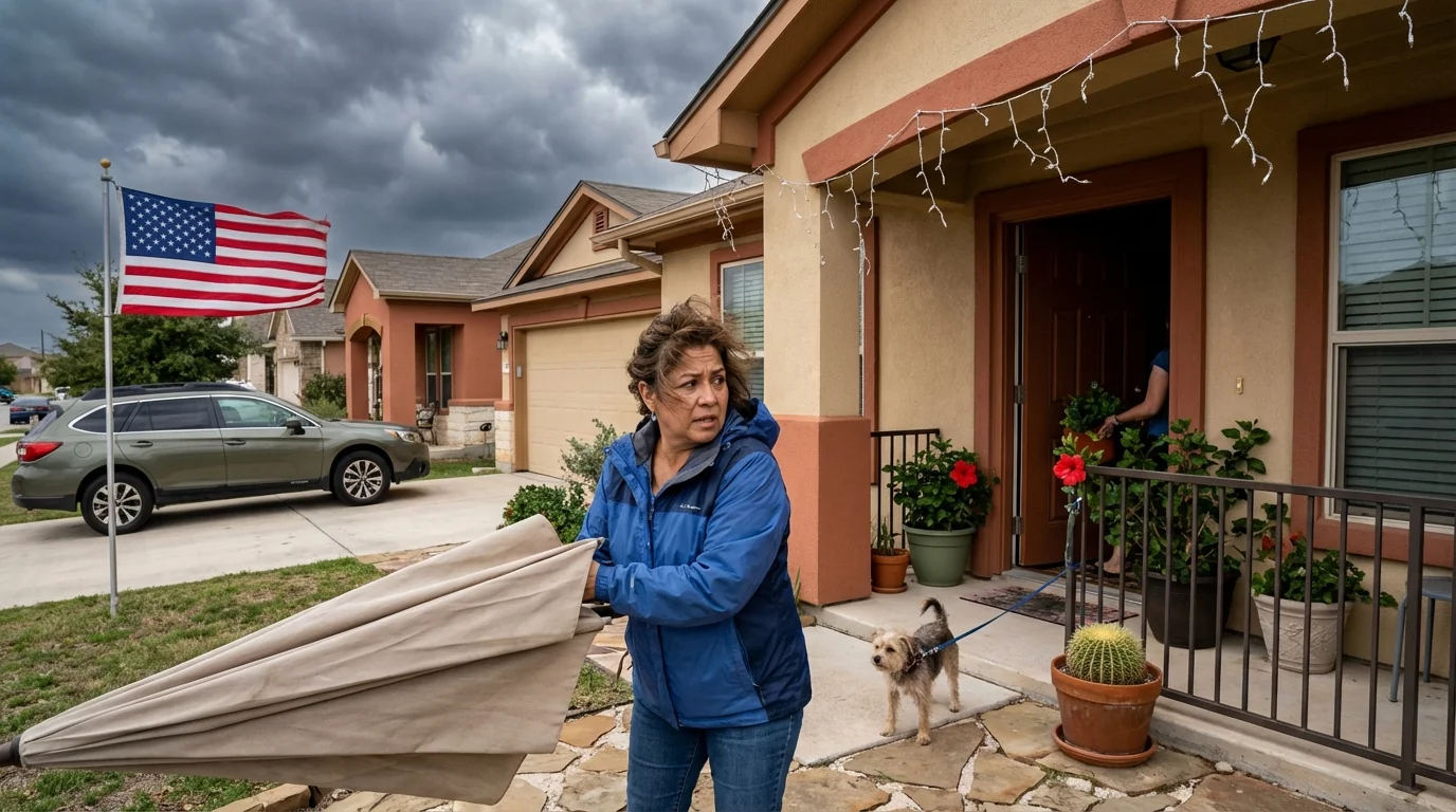
- Before bedtime, close curtains and blinds to hold in heat. Set your thermostat now for the morning chill.
- Overnight, set outdoor faucets to drip only if a hard freeze is forecast in your area. If not, conserve water.
- Early morning, give yourself extra time for travel. Expect gusty crosswinds on I‑10, I‑35, and Loop 1604.
- Midday, keep hydration up. Dry air dehydrates fast, even when it feels cool.
Save energy and stay comfortable. Set heat to 68 degrees, use ceiling fans on low to push warm air down, and seal drafts with towels at doors. Delay laundry and dishwashers until afternoon to spread grid demand.
The environmental picture
Fronts like this shift our city’s footprint for a day or two. Morning electricity demand will spike as heaters click on at once. Small changes matter. Lowering the thermostat a few degrees and layering clothing cuts emissions and helps keep the grid steady.
Air quality will improve after the front. Wind and dry air will sweep out trapped pollution. That is good for lungs and hearts. The risk shifts to grassfire potential on the outskirts. One spark can run in cured fields when humidity plunges. Keep vehicles off dry grass and avoid outdoor welding. If you see smoke, call it in quickly.
What comes next
The chill holds for a couple of days, with cold mornings and bright, breezy afternoons. Nights will feel colder in low spots and along the river, where cold air pools after sunset. A slow warmup returns as winds ease and turn from the south. That means moisture will come back, and another front may be on deck later this week. This back‑and‑forth is the rhythm of our fall into winter, only sharper now.
Conclusion
This front means business, but San Antonio can handle it. Secure what can blow, dress for the wind, and look out for one another. Use heat wisely, protect pets, and avoid sparks in dry grass. The temperature will fall fast, the sky will clear, and calmer air will follow. Stay ready, stay warm, and we will ride this change together. 🌬️

