A powerful Pacific storm is locking on Sacramento right now. The holiday week just turned high risk. Winds will roar, rain will fire in bursts, and Sierra passes will disappear under heavy snow. If you have travel plans, adjust them now. This is a fast mover with real bite.
What to expect in Sacramento and the Sierra
The core of the storm arrives through Christmas week with several waves. The strongest winds focus this evening into early Wednesday, then ease but remain gusty. Valley gusts will reach 35 to 50 miles per hour. Foothill gusts will push 55 to 65. Ridge tops will top 70 in spots.
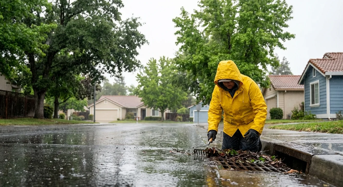
Showers will come in pulses. Some cells will dump a half inch of rain in under an hour. That can flood low spots and overwhelm clogged drains. Thunder is possible. A few storms may drop small hail and knock out power.
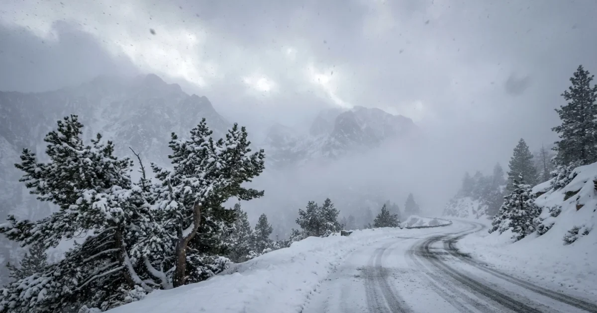
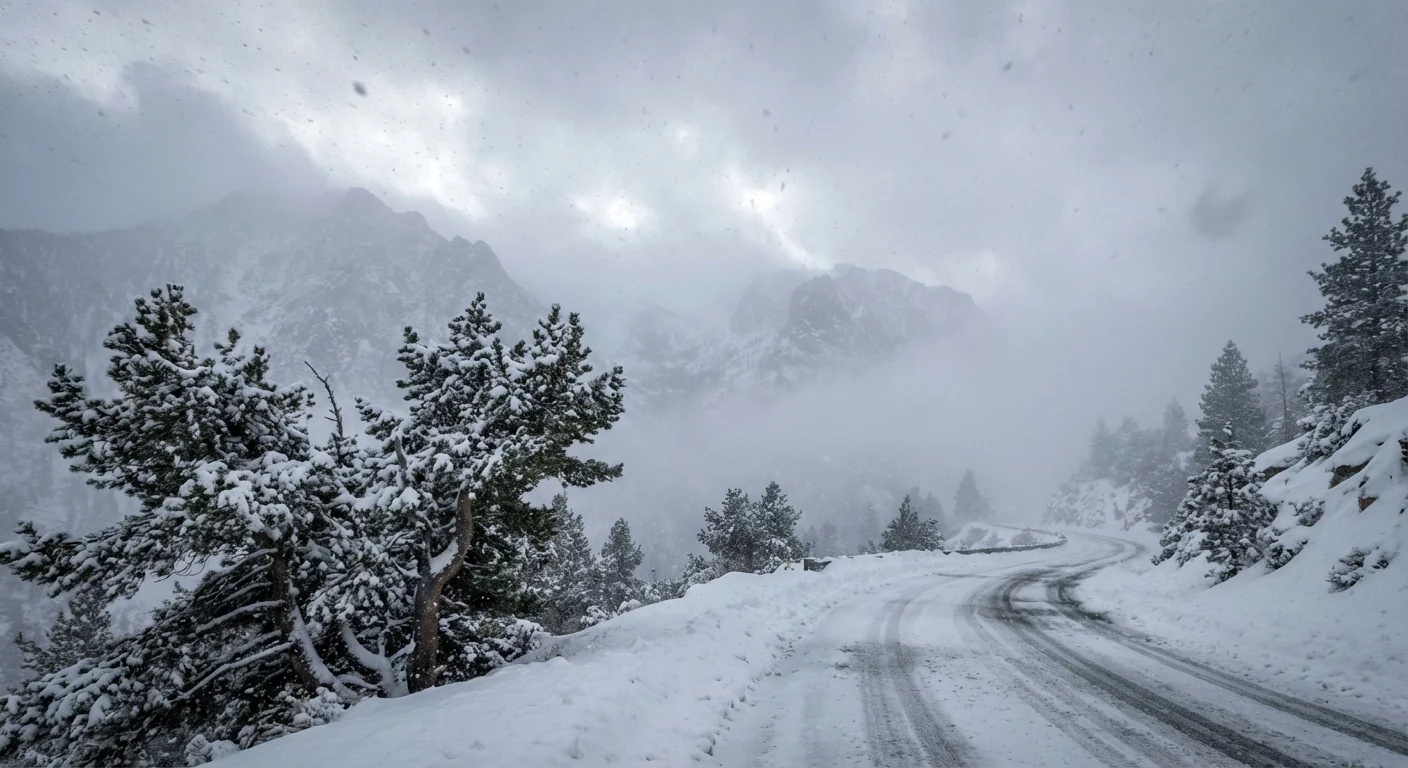
In the Sierra, snow levels start near 5000 to 6000 feet, then sink overnight. One to three feet are likely on the passes, with higher totals on the crest. Whiteouts are likely when snow bands line up with the wind.
Avoid nonessential travel during the peak wind window. Never drive through flooded roads, even if they look shallow.
Why this storm is packing a punch
A strong jet stream is aimed straight at Northern California. It is pulling a deep plume of Pacific moisture into the Valley and up the slopes. Think of a firehose that moves, then stalls at times. When bands stall, that is when flooding can hit fast.
Warmer Pacific waters are adding energy. Warmer air holds more water, so storms wring out heavier rain. We call this weather whiplash. Dry stretches snap into sudden downpours, then back again. Sacramento has already seen longer dry bursts in recent years, then bigger multi day storms. That pattern strains storm drains, roots weaker trees, and the grid.
This is also a snow maker that helps our water year. The challenge is timing. Warm layers early in the event may lift snow levels. That can send extra runoff into rivers before colder air locks in. Expect fast changes as each band moves through.
Impacts on travel, power, and neighborhoods
Holiday travel will be tough. On highways 50 and 80, chain controls are a near lock. Visibility will drop to near zero in squalls. Valley roads will see ponding, hydroplaning, and debris. Expect branches down and short lived road closures.
Power crews are staged, but outages are likely. Saturated soils plus wind are hard on drought stressed trees. Shallow roots give way, and limbs fail. If you hear cracking or see trees leaning, move away and call it in. Keep pets and kids clear of downed lines.
Neighborhood flooding often starts at the curb. Leaves clog inlets fast in the first hour of rain. Clear them now if you can do it safely. That small task can lower flood risk on your block.
Do this now to stay safe and ready
Take action before the strongest winds arrive. Small steps prevent big problems later.
- Tie down holiday decor and trash bins. Move patio gear inside.
- Charge phones, battery packs, and medical devices.
- Clear gutters and street drains near your home.
- Set travel windows early in the day. Avoid the mountains if you can.
- Stock water, shelf food, lights, and meds for 48 to 72 hours.
Text, do not call, during outages or storms. Texts use less bandwidth and often get through when calls fail.
If the power goes out, follow this simple sequence:
- Report the outage with your utility app or phone.
- Keep fridge and freezer closed to save cold air.
- Use flashlights, not candles, to reduce fire risk.
- Run generators outside, far from doors and windows.
- Check on neighbors who may need help.
Never use grills or generators indoors. Carbon monoxide has no smell and can be deadly.
Make the storm work for us
This is hard weather, but it can help us prepare smarter. Stormwater is a resource when captured and cleaned. After the event, consider adding a rain barrel or a cistern. They cut demand during dry spells and ease pressure on drains in the next storm. Keep gutters screened and downspouts aimed into landscaped areas that soak water, not onto sidewalks.
Care for trees now, not during wind season. Deep watering in summer and regular pruning build stronger roots and reduce breakage. Urban trees cool neighborhoods, capture carbon, and slow storm runoff. Healthy trees are storm allies.
Households can pitch in on grid stability too. Reduce use during peak wind and rain, when outages cascade. Switch off unneeded lights and delay laundry and dish cycles. Small cuts across the city add up to a more resilient system.
Conclusion: This is a high impact week for Sacramento. Expect damaging winds, rapid fire downpours, and heavy Sierra snow. Treat the next 48 hours with care. Prepare, stay flexible, and protect your block. When the sky clears, keep the momentum. The choices we make after this storm will shape how we ride out the next one.


